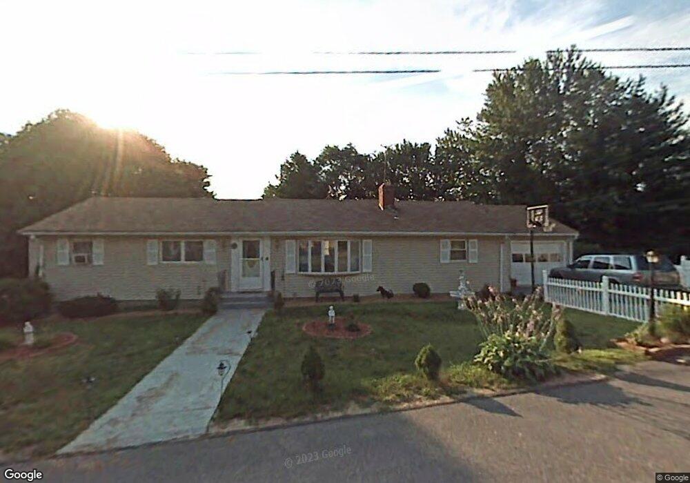
56 Cavour Cir West Boylston, MA 01583
Estimated Value: $477,000 - $513,000
4
Beds
3
Baths
1,320
Sq Ft
$376/Sq Ft
Est. Value
About This Home
This home is located at 56 Cavour Cir, West Boylston, MA 01583 and is currently estimated at $495,823, approximately $375 per square foot. 56 Cavour Cir is a home located in Worcester County with nearby schools including Major Edwards Elementary School, West Boylston Junior/Senior High School, and Abby Kelley Foster Charter Public School.
Ownership History
Date
Name
Owned For
Owner Type
Purchase Details
Closed on
Mar 2, 2001
Sold by
Fahey Maria A and Wennerberg Maria A
Bought by
Dias Manoel H and Dias Sandra
Current Estimated Value
Home Financials for this Owner
Home Financials are based on the most recent Mortgage that was taken out on this home.
Original Mortgage
$160,000
Outstanding Balance
$58,173
Interest Rate
7%
Mortgage Type
Purchase Money Mortgage
Estimated Equity
$437,650
Create a Home Valuation Report for This Property
The Home Valuation Report is an in-depth analysis detailing your home's value as well as a comparison with similar homes in the area
Home Values in the Area
Average Home Value in this Area
Purchase History
| Date | Buyer | Sale Price | Title Company |
|---|---|---|---|
| Dias Manoel H | $190,000 | -- |
Source: Public Records
Mortgage History
| Date | Status | Borrower | Loan Amount |
|---|---|---|---|
| Open | Dias Manoel H | $56,100 | |
| Closed | Dias Manoel H | $50,000 | |
| Open | Dias Manoel H | $160,000 |
Source: Public Records
Tax History Compared to Growth
Tax History
| Year | Tax Paid | Tax Assessment Tax Assessment Total Assessment is a certain percentage of the fair market value that is determined by local assessors to be the total taxable value of land and additions on the property. | Land | Improvement |
|---|---|---|---|---|
| 2025 | $56 | $401,800 | $88,500 | $313,300 |
| 2024 | $5,446 | $368,500 | $88,500 | $280,000 |
| 2023 | $5,226 | $335,400 | $88,000 | $247,400 |
| 2022 | $4,927 | $278,700 | $88,000 | $190,700 |
| 2021 | $18,084 | $258,200 | $83,500 | $174,700 |
| 2020 | $4,686 | $252,200 | $83,500 | $168,700 |
| 2019 | $4,394 | $233,100 | $83,500 | $149,600 |
| 2018 | $4,197 | $224,200 | $83,500 | $140,700 |
| 2017 | $15,402 | $198,800 | $83,500 | $115,300 |
| 2016 | $3,668 | $198,800 | $77,600 | $121,200 |
| 2015 | $3,600 | $196,300 | $76,800 | $119,500 |
Source: Public Records
Map
Nearby Homes
- 39 Davidson Rd
- 1 Highland Ave
- 12 Birchbrush Ln
- 39 Meola Ave
- 33 Meola Ave
- 62 Maple St
- 54 Maple St
- 33 Isleboro St
- 29 Isleboro St
- 152 Worcester St Unit 8
- 740 Burncoat St Unit B
- 1110 W Boylston St Unit A
- 156 Prospect St
- 1097 W Boylston St
- 15 Cumberland St
- 21 Wyoming Dr
- 22 Danielles Way
- 26 Danielles Way
- 31 Danielles Way
- 156 Hillside Village Dr