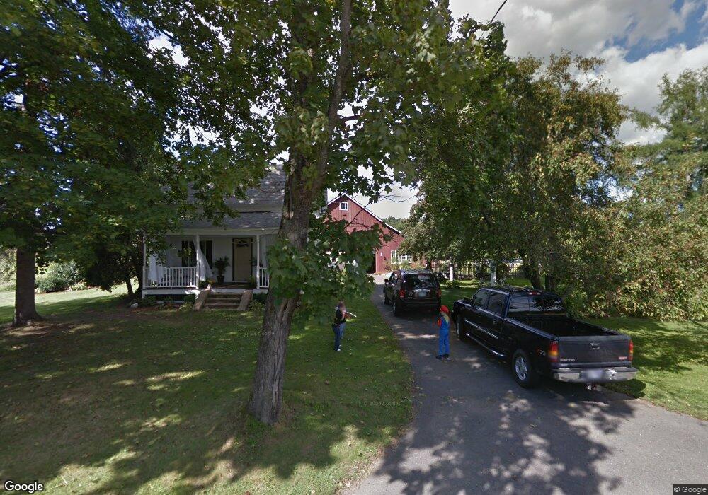
56 Chestnut St Hatfield, MA 01038
Estimated Value: $334,000 - $496,663
3
Beds
1
Bath
1,326
Sq Ft
$321/Sq Ft
Est. Value
About This Home
This home is located at 56 Chestnut St, Hatfield, MA 01038 and is currently estimated at $425,916, approximately $321 per square foot. 56 Chestnut St is a home located in Hampshire County with nearby schools including Hatfield Elementary School and Smith Academy.
Create a Home Valuation Report for This Property
The Home Valuation Report is an in-depth analysis detailing your home's value as well as a comparison with similar homes in the area
Home Values in the Area
Average Home Value in this Area
Tax History
| Year | Tax Paid | Tax Assessment Tax Assessment Total Assessment is a certain percentage of the fair market value that is determined by local assessors to be the total taxable value of land and additions on the property. | Land | Improvement |
|---|---|---|---|---|
| 2025 | $6,020 | $435,000 | $200,500 | $234,500 |
| 2024 | $5,773 | $377,100 | $176,700 | $200,400 |
| 2023 | $4,793 | $355,600 | $166,400 | $189,200 |
| 2022 | $4,592 | $335,900 | $159,700 | $176,200 |
| 2021 | $4,532 | $319,400 | $148,400 | $171,000 |
| 2020 | $4,321 | $319,400 | $148,400 | $171,000 |
| 2019 | $4,211 | $303,200 | $155,700 | $147,500 |
| 2018 | $4,050 | $298,200 | $155,700 | $142,500 |
| 2017 | $3,892 | $294,400 | $155,700 | $138,700 |
| 2016 | $3,863 | $293,100 | $155,700 | $137,400 |
| 2015 | $3,594 | $272,900 | $142,500 | $130,400 |
| 2014 | $3,458 | $272,900 | $142,500 | $130,400 |
Source: Public Records
Map
Nearby Homes
- 71 Chestnut St
- 149 Prospect St
- 18 Elm St
- 0 Straits Rd
- 58 Main St Unit 4
- 58 Main St Unit 3
- 59 N Hatfield Rd
- 43 Laurel Park Unit 43
- 27 River Dr
- 151 Pantry Rd
- 11 West St
- 32 Stonewall Dr
- 0 N Branch Rd
- 26 Russell St Unit A-B
- 80 Damon Rd Unit 8201
- 80 Damon Rd Unit 4302
- 88 Pines Edge Dr Unit 88
- 6 E Commons Dr Unit 6
- 14 Hawley Rd
- 128 West St
Your Personal Tour Guide
Ask me questions while you tour the home.