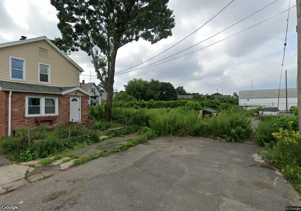
56 Clifford St Bridge Port, CT 06607
East End NeighborhoodEstimated Value: $110,000 - $341,000
--
Bed
--
Bath
--
Sq Ft
8,712
Sq Ft Lot
About This Home
This home is located at 56 Clifford St, Bridge Port, CT 06607 and is currently estimated at $234,333. 56 Clifford St is a home located in Fairfield County with nearby schools including Dunbar School, Harding High School, and The Bridge Academy.
Ownership History
Date
Name
Owned For
Owner Type
Purchase Details
Closed on
Apr 10, 2024
Sold by
Colonel Charles Young Pos
Bought by
Habotat For Humanity Of C
Current Estimated Value
Purchase Details
Closed on
Apr 1, 2019
Sold by
Caz Creek Ct Reo Llc
Bought by
Habitat For Humanity
Purchase Details
Closed on
May 3, 2016
Sold by
Mtag Services Llc
Bought by
Caz Creek Ct Reo Llc
Purchase Details
Closed on
Jun 26, 2014
Sold by
Charles Colonel
Bought by
Mtag Services Llc
Create a Home Valuation Report for This Property
The Home Valuation Report is an in-depth analysis detailing your home's value as well as a comparison with similar homes in the area
Home Values in the Area
Average Home Value in this Area
Purchase History
| Date | Buyer | Sale Price | Title Company |
|---|---|---|---|
| Habotat For Humanity Of C | -- | None Available | |
| Habotat For Humanity Of C | -- | None Available | |
| Habotat For Humanity Of C | -- | None Available | |
| Habitat For Humanity | -- | -- | |
| Habitat For Humanity | -- | -- | |
| Caz Creek Ct Reo Llc | -- | -- | |
| Caz Creek Ct Reo Llc | -- | -- | |
| Mtag Services Llc | -- | -- | |
| Mtag Services Llc | -- | -- |
Source: Public Records
Tax History Compared to Growth
Tax History
| Year | Tax Paid | Tax Assessment Tax Assessment Total Assessment is a certain percentage of the fair market value that is determined by local assessors to be the total taxable value of land and additions on the property. | Land | Improvement |
|---|---|---|---|---|
| 2025 | $1,532 | $35,270 | $35,270 | $0 |
| 2024 | $1,532 | $35,270 | $35,270 | $0 |
| 2023 | $1,536 | $35,350 | $35,350 | $0 |
| 2022 | $1,536 | $35,350 | $35,350 | $0 |
| 2021 | $1,536 | $35,350 | $35,350 | $0 |
| 2020 | $1,067 | $19,770 | $19,770 | $0 |
| 2019 | $1,067 | $19,770 | $19,770 | $0 |
| 2018 | $1,075 | $19,770 | $19,770 | $0 |
| 2017 | $1,075 | $19,770 | $19,770 | $0 |
| 2016 | $1,075 | $19,770 | $19,770 | $0 |
| 2015 | $1,430 | $33,890 | $33,890 | $0 |
| 2014 | $1,430 | $33,890 | $33,890 | $0 |
Source: Public Records
Map
Nearby Homes
- 93 Clifford St
- 643 Newfield Ave Unit 645
- 40 5th St
- 54 6th St
- 205 Smith St
- 800 Seaview Ave Unit 790-3
- 520 Seaview Ave
- 49 Bunnell St Unit 51
- 408 Union Ave
- 320 Union Ave
- 363 Carroll Ave Unit 365
- 221 Bunnell St
- 247 6th St
- 306 Carroll Ave
- 325 Jefferson St
- 55 Deforest Ave
- 194 Adams St
- 1440 Stratford Ave
- 566 Wilmot Ave Unit 4
- 228 Holly St Unit 230
- 70 Clifford St
- 80 Clifford St
- 207 Beardsley St
- 65 Clifford St
- 215 Beardsley St
- 73 Clifford St Unit 77
- 73 Clifford St Unit 2
- 73 Clifford St Unit 3
- 77 Clifford St Unit 2
- 77 Clifford St Unit 3
- 77 Clifford St
- 77 Clifford St Unit A
- 73 Clifford St Unit C
- 73 Clifford St Unit B
- 181 Beardsley St Unit 183
- 1014 Stratford Ave Unit 9
- 1014 Stratford Ave Unit 6
- 223 Beardsley St Unit 225
- 79 Clifford St