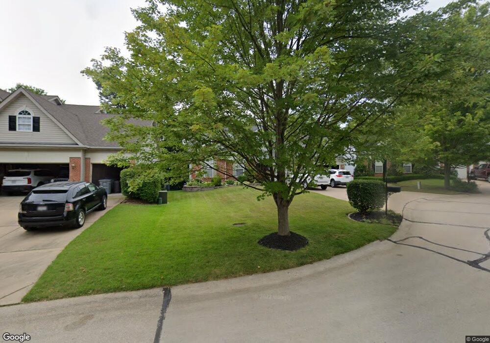
56 Crooked Tree Ct O Fallon, MO 63368
Estimated Value: $432,000 - $470,000
3
Beds
3
Baths
2,205
Sq Ft
$204/Sq Ft
Est. Value
About This Home
This home is located at 56 Crooked Tree Ct, O Fallon, MO 63368 and is currently estimated at $450,080, approximately $204 per square foot. 56 Crooked Tree Ct is a home located in St. Charles County with nearby schools including Crossroads Elementary School, Frontier Middle School, and Liberty High School.
Ownership History
Date
Name
Owned For
Owner Type
Purchase Details
Closed on
Apr 11, 2005
Sold by
Watson Mark W and Watson Juliet L
Bought by
Watson Mark W and Watson Juliet L
Current Estimated Value
Purchase Details
Closed on
Aug 10, 2000
Sold by
Mayer Custom Homes Inc
Bought by
Watson Mark W and Watson Juliet L
Home Financials for this Owner
Home Financials are based on the most recent Mortgage that was taken out on this home.
Original Mortgage
$210,000
Outstanding Balance
$75,767
Interest Rate
8.15%
Estimated Equity
$374,313
Create a Home Valuation Report for This Property
The Home Valuation Report is an in-depth analysis detailing your home's value as well as a comparison with similar homes in the area
Home Values in the Area
Average Home Value in this Area
Purchase History
| Date | Buyer | Sale Price | Title Company |
|---|---|---|---|
| Watson Mark W | -- | -- | |
| Watson Mark W | -- | -- |
Source: Public Records
Mortgage History
| Date | Status | Borrower | Loan Amount |
|---|---|---|---|
| Open | Watson Mark W | $210,000 |
Source: Public Records
Tax History
| Year | Tax Paid | Tax Assessment Tax Assessment Total Assessment is a certain percentage of the fair market value that is determined by local assessors to be the total taxable value of land and additions on the property. | Land | Improvement |
|---|---|---|---|---|
| 2025 | $4,733 | $76,193 | -- | -- |
| 2023 | $4,737 | $69,200 | $0 | $0 |
| 2022 | $4,968 | $67,734 | $0 | $0 |
| 2021 | $4,980 | $67,734 | $0 | $0 |
| 2020 | $4,995 | $65,284 | $0 | $0 |
| 2019 | $4,688 | $65,284 | $0 | $0 |
| 2018 | $4,252 | $56,305 | $0 | $0 |
| 2017 | $4,225 | $56,305 | $0 | $0 |
| 2016 | $3,945 | $50,425 | $0 | $0 |
| 2015 | $3,887 | $50,425 | $0 | $0 |
| 2014 | $3,688 | $51,328 | $0 | $0 |
Source: Public Records
Map
Nearby Homes
- 160 Cedarstone Dr
- 116 Cedarstone Dr
- 0 Chesapeake @ Cedarstone Unit MAR24063701
- 0 Universal Design @ Cedarstone Unit MAR24063686
- 0 Bridgeport @ Cedarstone Unit MAR24063669
- 0 Braxton @ Cedarstone Unit MAR24063663
- 0 Lancaster @ Cedarstone Unit MAR24063683
- 0 Pierce @ Cedarstone Unit MAR24063672
- 0 Rosemont @ Cedarstone Unit MAR24063677
- 0 Sierra @ Cedarstone Unit MAR24063703
- 0 Portsmouth @ Cedarstone Unit MAR24063654
- 518 Old Dominion St
- 2570 Technology Dr
- 769 Cypress Knoll Dr
- 101 Cardow Dr Unit 169-606
- 101 Cardow Dr
- 210 Newal Way
- 215 Townshead Way
- 94 Mora Blvd
- 94 Mora Blvd Unit 440-502
- 54 Crooked Tree Ct
- 58 Crooked Tree Ct
- 3501 Post Valley Dr
- 52 Crooked Tree Ct
- 59 Crooked Tree Ct
- 53 Crooked Tree Ct
- 51 Crooked Tree Ct
- 55 Crooked Tree Ct
- 57 Crooked Tree Ct
- 3503 Post Valley Dr
- 525 Ironwood Dr
- 519 Ironwood Dr
- 46 Ironwood Ct
- 44 Ironwood Ct
- 3505 Post Valley Dr
- 522 Ironwood Dr
- 527 Ironwood Dr
- 3502 Post Valley Dr
- 517 Ironwood Dr
- 2361 Post Rd
Your Personal Tour Guide
Ask me questions while you tour the home.