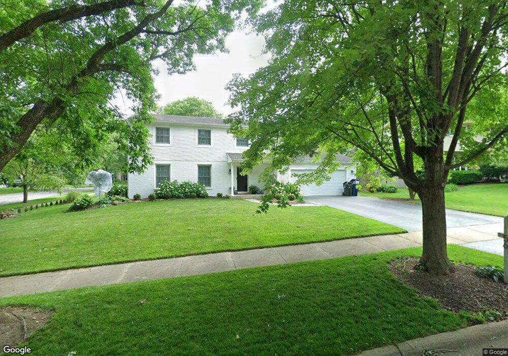
56 Drendel Ln Naperville, IL 60565
Maple Brook NeighborhoodEstimated Value: $554,291 - $572,000
4
Beds
4
Baths
2,016
Sq Ft
$280/Sq Ft
Est. Value
About This Home
This home is located at 56 Drendel Ln, Naperville, IL 60565 and is currently estimated at $563,823, approximately $279 per square foot. 56 Drendel Ln is a home located in DuPage County with nearby schools including Maplebrook Elementary School, Lincoln Jr. High School, and Naperville Central High School.
Ownership History
Date
Name
Owned For
Owner Type
Purchase Details
Closed on
Jul 27, 2017
Sold by
Parenti M Lisa
Bought by
Mcdaniel Brady D and Magliano Christina M
Current Estimated Value
Home Financials for this Owner
Home Financials are based on the most recent Mortgage that was taken out on this home.
Original Mortgage
$282,000
Outstanding Balance
$236,316
Interest Rate
4.12%
Mortgage Type
New Conventional
Estimated Equity
$327,507
Purchase Details
Closed on
Sep 18, 1995
Sold by
Waynick Leo B and Waynick Betty L
Bought by
Hrynko Lawrence J and Hrynko Lisa Parenti
Home Financials for this Owner
Home Financials are based on the most recent Mortgage that was taken out on this home.
Original Mortgage
$132,000
Interest Rate
7.44%
Create a Home Valuation Report for This Property
The Home Valuation Report is an in-depth analysis detailing your home's value as well as a comparison with similar homes in the area
Home Values in the Area
Average Home Value in this Area
Purchase History
We collect this data history from publicly available records. To have your information removed, we recommend requesting removal directly through your county’s website.
| Date | Buyer | Sale Price | Title Company |
|---|---|---|---|
| Mcdaniel Brady D | -- | Baird & Warner Title Service | |
| Hrynko Lawrence J | $176,000 | -- |
Source: Public Records
Mortgage History
We collect this data history from publicly available records. To have your information removed, we recommend requesting removal directly through your county’s website.
| Date | Status | Borrower | Loan Amount |
|---|---|---|---|
| Open | Mcdaniel Brady D | $282,000 | |
| Previous Owner | Hrynko Lawrence J | $132,000 |
Source: Public Records
Tax History
| Year | Tax Paid | Tax Assessment Tax Assessment Total Assessment is a certain percentage of the fair market value that is determined by local assessors to be the total taxable value of land and additions on the property. | Land | Improvement |
|---|---|---|---|---|
| 2024 | $8,693 | $149,902 | $74,343 | $75,559 |
| 2023 | $8,370 | $136,810 | $67,850 | $68,960 |
| 2022 | $8,045 | $130,300 | $64,620 | $65,680 |
| 2021 | $7,749 | $125,380 | $62,180 | $63,200 |
| 2020 | $7,582 | $123,120 | $61,060 | $62,060 |
| 2019 | $7,359 | $117,800 | $58,420 | $59,380 |
| 2018 | $7,171 | $114,920 | $56,990 | $57,930 |
| 2017 | $7,025 | $111,050 | $55,070 | $55,980 |
| 2016 | $6,882 | $107,040 | $53,080 | $53,960 |
| 2015 | $6,834 | $100,800 | $49,990 | $50,810 |
| 2014 | $6,699 | $96,000 | $47,610 | $48,390 |
| 2013 | $6,598 | $96,230 | $47,720 | $48,510 |
Source: Public Records
Map
Nearby Homes
- 43 Foxcroft Rd Unit G135
- 120 Rieser Cir
- 106 Foxcroft Rd
- 1908 Wisteria Ct Unit 2
- 1942 Town Dr
- 1508 Terrance Dr
- 1751 S Washington St Unit 1
- 2115 Lancaster Cir Unit 202D
- 54 Plymouth Ct Unit 102D
- 50 Plymouth Ct Unit 202B
- 2153 Lancaster Cir Unit 102B
- 154 E Bailey Rd Unit D
- 264 E Bailey Rd Unit L
- 307 Leeds Ct
- 1919 Coach Dr
- 1925 Coach Dr
- 241 Briarheath Ln Unit 3B
- 1803 River Ridge Cir
- 144 E Bailey Rd Unit G
- 405 Carriage Hill Rd
Your Personal Tour Guide
Ask me questions while you tour the home.