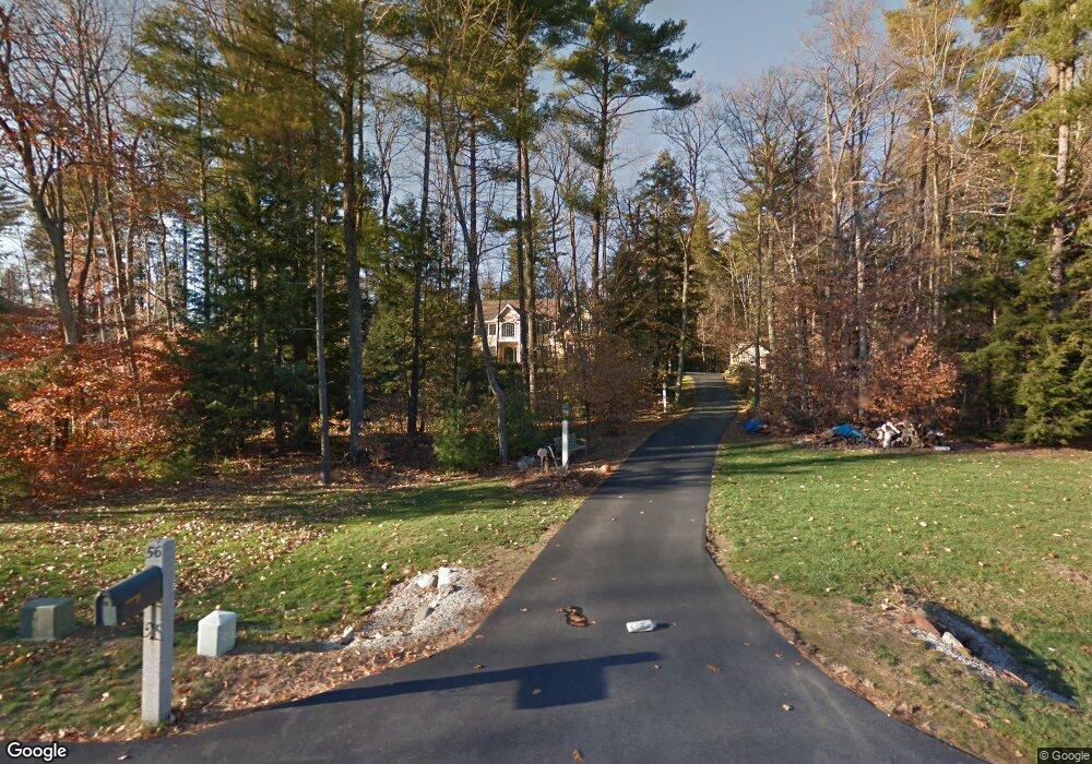
56 Dunlap Dr Bedford, NH 03110
Bedford NeighborhoodEstimated Value: $880,983 - $1,040,000
4
Beds
3
Baths
2,993
Sq Ft
$320/Sq Ft
Est. Value
About This Home
This home is located at 56 Dunlap Dr, Bedford, NH 03110 and is currently estimated at $956,996, approximately $319 per square foot. 56 Dunlap Dr is a home located in Hillsborough County with nearby schools including Mckelvie Intermediate School, Ross A. Lurgio Middle School, and Bedford High School.
Ownership History
Date
Name
Owned For
Owner Type
Purchase Details
Closed on
Mar 2, 2020
Sold by
Arico John and Arico Anna D
Bought by
John Arico Ret
Current Estimated Value
Purchase Details
Closed on
Mar 2, 1998
Sold by
Dunlap Woods Dev
Bought by
Arico John and Arico Anna D
Create a Home Valuation Report for This Property
The Home Valuation Report is an in-depth analysis detailing your home's value as well as a comparison with similar homes in the area
Home Values in the Area
Average Home Value in this Area
Purchase History
| Date | Buyer | Sale Price | Title Company |
|---|---|---|---|
| John Arico Ret | -- | None Available | |
| Arico John | $317,500 | -- |
Source: Public Records
Mortgage History
| Date | Status | Borrower | Loan Amount |
|---|---|---|---|
| Previous Owner | Arico John | $146,002 | |
| Previous Owner | Arico John | $186,000 | |
| Previous Owner | Arico John | $163,300 | |
| Previous Owner | Arico John | $248,098 |
Source: Public Records
Tax History Compared to Growth
Tax History
| Year | Tax Paid | Tax Assessment Tax Assessment Total Assessment is a certain percentage of the fair market value that is determined by local assessors to be the total taxable value of land and additions on the property. | Land | Improvement |
|---|---|---|---|---|
| 2024 | $13,160 | $832,400 | $284,700 | $547,700 |
| 2023 | $12,320 | $832,400 | $284,700 | $547,700 |
| 2022 | $11,183 | $635,400 | $211,000 | $424,400 |
| 2021 | $10,891 | $635,400 | $211,000 | $424,400 |
| 2020 | $10,833 | $541,100 | $162,200 | $378,900 |
| 2019 | $10,254 | $541,100 | $162,200 | $378,900 |
| 2018 | $139,952 | $509,600 | $162,200 | $347,400 |
| 2017 | $8,706 | $509,600 | $162,200 | $347,400 |
| 2016 | $9,704 | $433,800 | $124,200 | $309,600 |
| 2015 | $9,873 | $433,800 | $124,200 | $309,600 |
| 2014 | $9,761 | $433,800 | $124,200 | $309,600 |
| 2013 | $9,617 | $433,800 | $124,200 | $309,600 |
Source: Public Records
Map
Nearby Homes
- 53 Essex Rd
- 27 Birkdale Rd Unit LOTS 170/171
- 9 Cherry Ln
- 99 Cambridge Rd
- 28 Olde Lantern Rd
- 39 Mcintosh Ln
- 74 Settlers Ct
- 12 Mcintosh Ln
- Lot 6 Aisling Ln Unit Lot 6 - The Silverto
- 32 Wellesley Dr
- 60 Riddle Dr
- 250 Joppa Hill Rd
- 40 Tirrell Hill Rd
- 3 Baldwin Ln
- 44-9 Olympus Way
- 14 Angel Point Cir Unit B
- 4 Westview Rd Unit Lot 4 - Hannah Floor
- 3 Westview Rd Unit Lot 3 - The Saffron
- 18 Sprague Mill Rd
- 68 Perry Rd