56 Eastbrook Heights Unit A Mansfield Center, CT 06250
Estimated Value: $222,000 - $261,000
2
Beds
2
Baths
1,091
Sq Ft
$220/Sq Ft
Est. Value
About This Home
This home is located at 56 Eastbrook Heights Unit A, Mansfield Center, CT 06250 and is currently estimated at $240,501, approximately $220 per square foot. 56 Eastbrook Heights Unit A is a home located in Tolland County with nearby schools including Mansfield Elementary School, E.O. Smith High School, and St Mary St Joseph School.
Ownership History
Date
Name
Owned For
Owner Type
Purchase Details
Closed on
Aug 20, 2012
Sold by
Hussey Fran and Goralnick Angela
Bought by
Kao Shangming and Li Hongyan
Current Estimated Value
Home Financials for this Owner
Home Financials are based on the most recent Mortgage that was taken out on this home.
Original Mortgage
$90,750
Outstanding Balance
$62,867
Interest Rate
3.67%
Estimated Equity
$177,634
Purchase Details
Closed on
Jul 1, 1999
Sold by
Wright June
Bought by
Hussey Franca and Goralnick Angela
Create a Home Valuation Report for This Property
The Home Valuation Report is an in-depth analysis detailing your home's value as well as a comparison with similar homes in the area
Home Values in the Area
Average Home Value in this Area
Purchase History
| Date | Buyer | Sale Price | Title Company |
|---|---|---|---|
| Kao Shangming | $121,000 | -- | |
| Kao Shangming | $121,000 | -- | |
| Hussey Franca | $80,000 | -- | |
| Hussey Franca | $80,000 | -- |
Source: Public Records
Mortgage History
| Date | Status | Borrower | Loan Amount |
|---|---|---|---|
| Open | Hussey Franca | $90,750 | |
| Closed | Hussey Franca | $90,750 |
Source: Public Records
Tax History Compared to Growth
Tax History
| Year | Tax Paid | Tax Assessment Tax Assessment Total Assessment is a certain percentage of the fair market value that is determined by local assessors to be the total taxable value of land and additions on the property. | Land | Improvement |
|---|---|---|---|---|
| 2025 | $2,376 | $118,800 | $0 | $118,800 |
| 2024 | $2,463 | $80,700 | $0 | $80,700 |
| 2023 | $2,544 | $80,700 | $0 | $80,700 |
| 2022 | $2,452 | $80,700 | $0 | $80,700 |
| 2021 | $2,532 | $80,700 | $0 | $80,700 |
| 2020 | $2,532 | $80,700 | $0 | $80,700 |
| 2019 | $2,711 | $86,400 | $0 | $86,400 |
| 2018 | $2,668 | $86,400 | $0 | $86,400 |
| 2017 | $2,646 | $86,400 | $0 | $86,400 |
| 2016 | $2,581 | $86,400 | $0 | $86,400 |
| 2015 | $2,581 | $86,400 | $0 | $86,400 |
| 2014 | $2,782 | $99,540 | $0 | $99,540 |
Source: Public Records
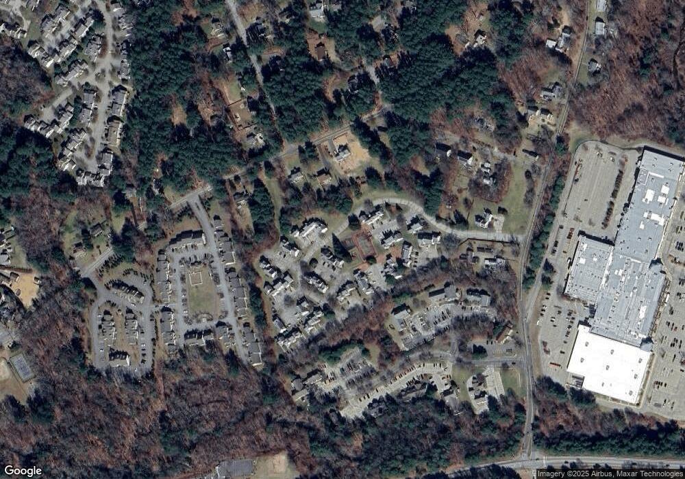
Map
Nearby Homes
- 19 Eastbrook Heights Unit C
- 54 Meadowbrook Ln
- 31 Adeline Place
- 0 Storrs Rd Unit 2 170571015
- 23 Circle Dr
- 23 Liberty Dr Unit 23
- 2 Pequot Square Unit 2
- 1 Heritage Square Unit 1
- 39 Jacobs Hill Rd
- 28 Circle Dr
- 59 Lynwood Dr
- 399 High St
- 23 Pond Way
- 17 Jacqueline Ln
- 5 Woods Way Unit WOOD005
- 27 Aspen Place
- 33 Woods Way Unit WOOD033
- 295 Jackson St
- 59 Chestnut St
- 61 Oak St
- 54 Eastbrook Heights Unit C
- 54 Eastbrook Heights Unit B
- 54 Eastbrook Heights Unit D
- 54 Eastbrook Heights Unit A
- 54 Eastbrook Heights Unit 54B
- 56 Eastbrook Heights Unit C
- 56 Eastbrook Heights Unit D
- 56 Eastbrook Heights
- 52 Eastbrook Heights Unit B
- 52 Eastbrook Heights Unit A
- 52 Eastbrook Heights Unit C
- 50 Eastbrook Heights Unit C
- 50 Eastbrook Heights Unit A
- 50 Eastbrook Heights Unit B
- 50 Eastbrook Heights Unit 50B
- 48 Eastbrook Heights Unit 48E
- 48 Eastbrook Heights Unit A
- 48 Eastbrook Heights Unit E
- 48 Eastbrook Heights Unit B