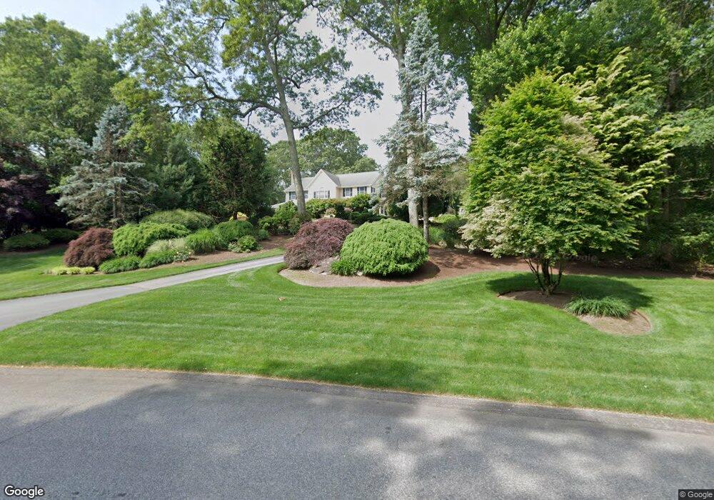
56 Finch Ln Saunderstown, RI 02874
Saunderstown NeighborhoodEstimated Value: $1,403,000 - $1,730,000
4
Beds
3
Baths
4,786
Sq Ft
$334/Sq Ft
Est. Value
About This Home
This home is located at 56 Finch Ln, Saunderstown, RI 02874 and is currently estimated at $1,597,748, approximately $333 per square foot. 56 Finch Ln is a home located in Washington County with nearby schools including Hamilton Elementary School, Wickford Middle School, and North Kingstown Sr. High School.
Ownership History
Date
Name
Owned For
Owner Type
Purchase Details
Closed on
Jun 30, 2000
Sold by
Quail Hollow Assoc Lp
Bought by
Cowesset Enterprises
Current Estimated Value
Purchase Details
Closed on
Aug 2, 1999
Sold by
Quail Hollow Assoc Lp
Bought by
R Sammartino Bldrs Llc
Purchase Details
Closed on
Nov 2, 1994
Sold by
Wickford Highlands Dev
Bought by
Sammartino Rocco M
Create a Home Valuation Report for This Property
The Home Valuation Report is an in-depth analysis detailing your home's value as well as a comparison with similar homes in the area
Home Values in the Area
Average Home Value in this Area
Purchase History
| Date | Buyer | Sale Price | Title Company |
|---|---|---|---|
| Cowesset Enterprises | $130,000 | -- | |
| R Sammartino Bldrs Llc | $188,928 | -- | |
| Sammartino Rocco M | $67,000 | -- |
Source: Public Records
Mortgage History
| Date | Status | Borrower | Loan Amount |
|---|---|---|---|
| Open | Sammartino Rocco M | $297,000 | |
| Open | Sammartino Rocco M | $500,000 |
Source: Public Records
Tax History Compared to Growth
Tax History
| Year | Tax Paid | Tax Assessment Tax Assessment Total Assessment is a certain percentage of the fair market value that is determined by local assessors to be the total taxable value of land and additions on the property. | Land | Improvement |
|---|---|---|---|---|
| 2025 | $18,252 | $1,653,300 | $446,500 | $1,206,800 |
| 2024 | $17,516 | $1,221,500 | $288,100 | $933,400 |
| 2023 | $17,516 | $1,221,500 | $288,100 | $933,400 |
| 2022 | $17,174 | $1,221,500 | $288,100 | $933,400 |
| 2021 | $18,515 | $1,058,000 | $216,100 | $841,900 |
| 2020 | $18,081 | $1,058,000 | $216,100 | $841,900 |
| 2019 | $2,829 | $1,057,900 | $216,100 | $841,800 |
| 2018 | $16,769 | $884,000 | $216,100 | $667,900 |
| 2017 | $16,434 | $884,000 | $216,100 | $667,900 |
| 2016 | $15,965 | $884,000 | $216,100 | $667,900 |
| 2015 | $15,594 | $808,000 | $216,100 | $591,900 |
| 2014 | $15,279 | $808,000 | $216,100 | $591,900 |
Source: Public Records
Map
Nearby Homes
- 210 Explorer Dr
- 202 Explorer Dr
- 158 Explorer Dr
- 168 Explorer Dr
- 47 Shady Lea Rd
- 65 Village Hill Ln
- 247 Glen Hill Dr
- 2180 Tower Hill Rd
- 0 W Allenton Rd
- 2424 Tower Hill Rd
- 150 Delta Dr
- 470 Sylvan Ct
- 449 Sylvan Ct
- 48 Fieldstone Ln
- 55 Whisper Ln
- 66 Essex Manor Ln
- 46 Hillside Ct
- 604 Stony Fort Rd
- 67 Daniel Dr
- 127 Oceanwoods Dr
- 34 Finch Ln
- 26 Finch Ln
- 14 Finch Ln
- 235 Pheasant Run
- 8 Finch Ln
- 12 Finch Ln
- 33 Finch Ln
- 209 Pheasant Run
- 16 Finch Ln
- 234 Mourning Dove Dr
- 111 Finch Ln
- 25 Finch Ln
- 236 Pheasant Run
- 189 Pheasant Run
- 13 Finch Ln
- 198 Mourning Dove Dr
- 244 Pheasant Run
- 230 Pheasant Run
- 15 Mourning Dove Dr
- 166 Mourning Dove Dr