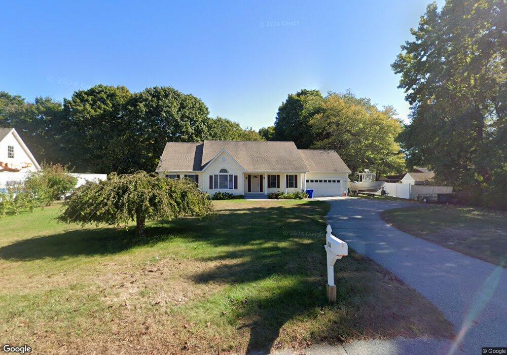
56 Fog Plain Rd Waterford, CT 06385
Estimated Value: $516,627 - $672,000
3
Beds
2
Baths
2,098
Sq Ft
$272/Sq Ft
Est. Value
About This Home
This home is located at 56 Fog Plain Rd, Waterford, CT 06385 and is currently estimated at $571,407, approximately $272 per square foot. 56 Fog Plain Rd is a home located in New London County with nearby schools including Clark Lane Middle School, Waterford High School, and New London High School Multi-Magnet Campus.
Ownership History
Date
Name
Owned For
Owner Type
Purchase Details
Closed on
Apr 12, 2010
Sold by
Willot Dora and Willot Dora I
Bought by
Davis Justin and Davis Melissa
Current Estimated Value
Home Financials for this Owner
Home Financials are based on the most recent Mortgage that was taken out on this home.
Original Mortgage
$349,200
Outstanding Balance
$233,958
Interest Rate
5.12%
Mortgage Type
Purchase Money Mortgage
Estimated Equity
$337,449
Purchase Details
Closed on
Jun 2, 1999
Sold by
Carnaroli Rudolph and Carnaroli Madga L
Bought by
Willott Dora
Purchase Details
Closed on
Mar 18, 1999
Sold by
Est Bottinelli Stephen and Joyner Denise A
Bought by
Carnaroli Rudolph and Carnaroli Magda L
Purchase Details
Closed on
Jun 12, 1995
Sold by
Sudol Eleanor M
Bought by
Carnaroli Rudolph and Carnaroli Magda L
Create a Home Valuation Report for This Property
The Home Valuation Report is an in-depth analysis detailing your home's value as well as a comparison with similar homes in the area
Home Values in the Area
Average Home Value in this Area
Purchase History
| Date | Buyer | Sale Price | Title Company |
|---|---|---|---|
| Davis Justin | $355,500 | -- | |
| Willott Dora | $73,500 | -- | |
| Carnaroli Rudolph | $233,000 | -- | |
| Carnaroli Rudolph | $62,500 | -- |
Source: Public Records
Mortgage History
| Date | Status | Borrower | Loan Amount |
|---|---|---|---|
| Open | Carnaroli Rudolph | $349,200 |
Source: Public Records
Tax History Compared to Growth
Tax History
| Year | Tax Paid | Tax Assessment Tax Assessment Total Assessment is a certain percentage of the fair market value that is determined by local assessors to be the total taxable value of land and additions on the property. | Land | Improvement |
|---|---|---|---|---|
| 2025 | $6,320 | $270,550 | $71,920 | $198,630 |
| 2024 | $5,988 | $268,530 | $71,920 | $196,610 |
| 2023 | $5,693 | $268,530 | $71,920 | $196,610 |
| 2022 | $5,557 | $201,630 | $53,310 | $148,320 |
| 2021 | $5,573 | $201,630 | $53,310 | $148,320 |
| 2020 | $5,619 | $201,630 | $53,310 | $148,320 |
| 2019 | $5,642 | $201,630 | $53,310 | $148,320 |
| 2018 | $5,529 | $201,630 | $53,310 | $148,320 |
| 2017 | $5,382 | $199,100 | $56,450 | $142,650 |
| 2016 | $5,332 | $199,100 | $56,450 | $142,650 |
| 2015 | $5,143 | $199,100 | $56,450 | $142,650 |
| 2014 | $4,938 | $199,100 | $56,450 | $142,650 |
Source: Public Records
Map
Nearby Homes
- 267 Boston Post Rd
- 213 Boston Post Rd
- 270 Boston Post Rd Unit 22
- 140 Waterford Pkwy S
- 27 Mullen Hill Rd
- 310 Boston Post Rd Unit 86
- 54 Rope Ferry Rd Unit H133
- 41 5th Ave
- 164 Stoneheights Dr Unit 164
- 172 Ashcraft Rd
- 14 N Phillips St
- 47 Phillips St
- 16 Beechwood Dr
- 226 Colman St
- 24 Stoneheights Dr
- 32 Stoneheights Dr Unit 32
- 70 Morgan St
- 430 Vauxhall St
- 9 Rock Ridge Rd
- 168 Waterford Pkwy S Unit B25
- 54 Fog Plain Rd
- 3 Mackenzie Rd
- 5 Mackenzie Rd
- 1 Mackenzie Rd
- 7 Mackenzie Rd
- 57 Fog Plain Rd
- 52 Fog Plain Rd
- 9 Mackenzie Rd
- 55 Fog Plain Rd
- 4 Mackenzie Rd
- 64 Fog Plain Rd
- 59 Fog Plain Rd
- 11 Mackenzie Rd
- 53 Fog Plain Rd
- 6 Mackenzie Rd
- 63 Fog Plain Rd
- 8 Mackenzie Rd
- 2 Lark St
- 13 Mackenzie Rd
- 55R Fog Plain Rd