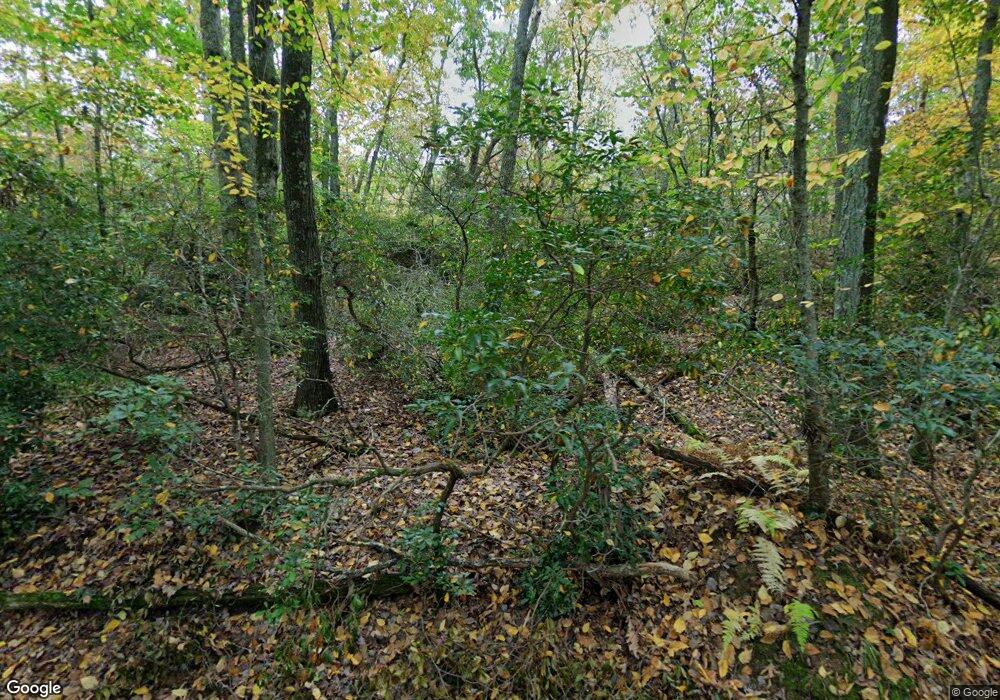
56 Hickory Ln East Haddam, CT 06423
Estimated Value: $346,000 - $361,000
3
Beds
1
Bath
1,035
Sq Ft
$340/Sq Ft
Est. Value
About This Home
This home is located at 56 Hickory Ln, East Haddam, CT 06423 and is currently estimated at $352,210, approximately $340 per square foot. 56 Hickory Ln is a home located in Middlesex County with nearby schools including East Haddam Elementary School, Nathan Hale-Ray Middle School, and Nathan Hale-Ray High School.
Ownership History
Date
Name
Owned For
Owner Type
Purchase Details
Closed on
Aug 21, 2025
Sold by
Nuzzo Philip F and Nuzzo Linda M
Bought by
Lombardo Gary and Saale Mark
Current Estimated Value
Home Financials for this Owner
Home Financials are based on the most recent Mortgage that was taken out on this home.
Original Mortgage
$281,600
Outstanding Balance
$280,776
Interest Rate
6.13%
Mortgage Type
Future Advance Clause Open End Mortgage
Estimated Equity
$71,435
Purchase Details
Closed on
Jul 20, 2022
Sold by
Welch Jeffrey D and Welch Renee C
Bought by
Nuzzo Linda M and Nuzzo Philip F
Purchase Details
Closed on
Aug 17, 1998
Sold by
Mangiagli Patricia A
Bought by
Wilde Mark H and Wilde Coreen M
Home Financials for this Owner
Home Financials are based on the most recent Mortgage that was taken out on this home.
Original Mortgage
$49,500
Interest Rate
7%
Mortgage Type
Purchase Money Mortgage
Create a Home Valuation Report for This Property
The Home Valuation Report is an in-depth analysis detailing your home's value as well as a comparison with similar homes in the area
Home Values in the Area
Average Home Value in this Area
Purchase History
| Date | Buyer | Sale Price | Title Company |
|---|---|---|---|
| Lombardo Gary | -- | -- | |
| Lombardo Gary | -- | -- | |
| Lombardo Gary | -- | -- | |
| Lombardo Gary | -- | -- | |
| Nuzzo Linda M | $263,800 | None Available | |
| Nuzzo Linda M | $263,800 | None Available | |
| Nuzzo Linda M | $263,800 | None Available | |
| Nuzzo Linda M | $263,800 | None Available | |
| Wilde Mark H | $55,000 | -- | |
| Wilde Mark H | $55,000 | -- |
Source: Public Records
Mortgage History
| Date | Status | Borrower | Loan Amount |
|---|---|---|---|
| Open | Lombardo Gary | $281,600 | |
| Closed | Lombardo Gary | $281,600 | |
| Previous Owner | Wilde Mark H | $49,500 |
Source: Public Records
Tax History Compared to Growth
Tax History
| Year | Tax Paid | Tax Assessment Tax Assessment Total Assessment is a certain percentage of the fair market value that is determined by local assessors to be the total taxable value of land and additions on the property. | Land | Improvement |
|---|---|---|---|---|
| 2025 | $4,513 | $160,840 | $73,900 | $86,940 |
| 2024 | $4,289 | $160,280 | $73,900 | $86,380 |
| 2023 | $4,127 | $160,280 | $73,900 | $86,380 |
| 2022 | $3,286 | $103,370 | $50,940 | $52,430 |
| 2021 | $3,147 | $103,370 | $50,940 | $52,430 |
| 2020 | $3,147 | $103,370 | $50,940 | $52,430 |
| 2019 | $3,147 | $103,370 | $50,940 | $52,430 |
| 2018 | $3,066 | $103,370 | $50,940 | $52,430 |
| 2017 | $2,802 | $94,740 | $42,450 | $52,290 |
| 2016 | $2,781 | $94,740 | $42,450 | $52,290 |
| 2015 | $2,717 | $94,740 | $42,450 | $52,290 |
| 2014 | $2,642 | $94,710 | $42,420 | $52,290 |
Source: Public Records
Map
Nearby Homes
- 114 Lakeside Dr
- 8 Tom Rd
- 42 Dogwood Rd
- 0 Lakeside Dr
- 53 Falls Bashan Rd
- 45 Alger Rd
- 154 Falls Rd
- 112 Schulman Veslak Rd
- 53 Falls Rd
- 63 Schulman Veslak Rd
- 55 Bogel Rd
- 5 Joe Williams Rd
- 21 Olmstead Rd
- 23 Olmstead Rd
- 398 E Haddam Moodus Rd
- 115 Lakeview Dr
- 206 Sheepskin Hollow Rd
- 53 Shanaghans Rd
- 213 Waterhole Rd
- 80 Orchard Rd
