56 Lindsey Ct Livermore, CO 80536
Estimated Value: $645,000 - $770,000
3
Beds
3
Baths
2,536
Sq Ft
$273/Sq Ft
Est. Value
About This Home
This home is located at 56 Lindsey Ct, Livermore, CO 80536 and is currently estimated at $692,812, approximately $273 per square foot. 56 Lindsey Ct is a home located in Larimer County with nearby schools including Red Feather Lakes Elementary School, Cache La Poudre Middle School, and Poudre High School.
Ownership History
Date
Name
Owned For
Owner Type
Purchase Details
Closed on
Jun 25, 2018
Sold by
Mccray Ronald E
Bought by
Ferguson Stephen
Current Estimated Value
Purchase Details
Closed on
Jun 13, 2016
Sold by
Paque Michael W and Paque Maureen C
Bought by
Paque Michael W and Paque Maureen C
Purchase Details
Closed on
Oct 30, 2007
Sold by
Stackler Jennifer A
Bought by
Paque Michael and Paque Maureen
Purchase Details
Closed on
Oct 4, 2004
Sold by
Sharp Ralph E and Sharp Lois M
Bought by
Stackler Jennifer A and Gould Brian J
Purchase Details
Closed on
May 1, 1977
Bought by
Sharp Ralph E and Sharp Lois M
Create a Home Valuation Report for This Property
The Home Valuation Report is an in-depth analysis detailing your home's value as well as a comparison with similar homes in the area
Home Values in the Area
Average Home Value in this Area
Purchase History
| Date | Buyer | Sale Price | Title Company |
|---|---|---|---|
| Ferguson Stephen | -- | None Available | |
| Paque Michael W | -- | None Available | |
| Paque Michael | $63,600 | North American Title | |
| Stackler Jennifer A | $59,000 | North American Title Co Of C | |
| Sharp Ralph E | $12,500 | -- |
Source: Public Records
Tax History Compared to Growth
Tax History
| Year | Tax Paid | Tax Assessment Tax Assessment Total Assessment is a certain percentage of the fair market value that is determined by local assessors to be the total taxable value of land and additions on the property. | Land | Improvement |
|---|---|---|---|---|
| 2025 | $4,468 | $49,098 | $8,643 | $40,455 |
| 2024 | $4,257 | $49,098 | $8,643 | $40,455 |
| 2022 | $3,589 | $37,051 | $3,267 | $33,784 |
| 2021 | $3,629 | $38,117 | $3,361 | $34,756 |
| 2020 | $3,138 | $32,676 | $2,717 | $29,959 |
| 2019 | $3,151 | $32,676 | $2,717 | $29,959 |
| 2018 | $1,360 | $15,178 | $2,268 | $12,910 |
| 2017 | $1,355 | $15,178 | $2,268 | $12,910 |
| 2016 | $1,245 | $13,874 | $1,910 | $11,964 |
| 2015 | $1,236 | $13,870 | $1,910 | $11,960 |
| 2014 | $1,017 | $11,350 | $3,420 | $7,930 |
Source: Public Records
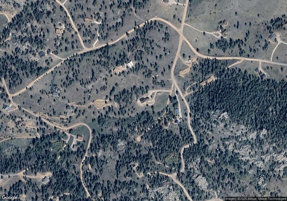
Map
Nearby Homes
- 78 Mount Champion Dr
- 1084 Iron Mountain Dr
- 241 Deadhorse Mountain Ct
- 98 Deadhorse Mountain Ct
- 636 Cucharas Mountain Dr
- 775 Haystack Dr
- 0 Shoshana Ranch Rd
- 366 N Rim Rd
- 131 Mount Apiatan Ct
- 0 Mountain Pony Rd
- 102 Mount Princeton Ct
- 3309 Green Mountain Dr
- 166 Red Cloud Peak Ct
- 180 Deep Cut Rd
- 16420 W County Road 74e
- 0 Legacy Rock Rd
- 81 Humboldt Dr
- 569 Gordon Ct
- 490 Gordon Ct
- 64 Mount Massive Dr
- 0 Lindsey Ct
- 110 Lindsey Ct
- 1235 Iron Mountain Dr
- 80 Castle Mountain Rd
- 823 Mount Champion Dr
- 784 Iron Mountain Dr
- 613 Mount Champion Dr
- 79 Red Hill Ct
- 120 Castle Mountain Dr
- 1127 Mount Champion Dr
- 0 Mount Belford Ct
- 1668 Mount Simon Dr Unit BEAR
- 39 Red Hill Ct
- 810 Mount Champion Dr
- 832 Mount Champion Dr
- 965 Iron Mountain Dr
- 940 Iron Mountain Dr
- 567 Iron Mountain Dr
- 67 Lizardhead Mountain Dr
- 86 Castle Ct