56 Miller Dr Florissant, CO 80816
Estimated Value: $306,000 - $348,000
1
Bed
1
Bath
649
Sq Ft
$504/Sq Ft
Est. Value
About This Home
This home is located at 56 Miller Dr, Florissant, CO 80816 and is currently estimated at $326,982, approximately $503 per square foot. 56 Miller Dr is a home located in Teller County with nearby schools including Woodland Park Junior/Senior High School, Merit Academy, and Lake George Charter School.
Ownership History
Date
Name
Owned For
Owner Type
Purchase Details
Closed on
Aug 31, 2021
Sold by
Davis Family Trust
Bought by
Boyle Robert H and Boyle Joni L
Current Estimated Value
Home Financials for this Owner
Home Financials are based on the most recent Mortgage that was taken out on this home.
Original Mortgage
$235,000
Outstanding Balance
$213,513
Interest Rate
2.7%
Mortgage Type
New Conventional
Estimated Equity
$113,469
Purchase Details
Closed on
Nov 20, 2008
Sold by
Clem Harold A
Bought by
Clem Family Trust
Create a Home Valuation Report for This Property
The Home Valuation Report is an in-depth analysis detailing your home's value as well as a comparison with similar homes in the area
Home Values in the Area
Average Home Value in this Area
Purchase History
| Date | Buyer | Sale Price | Title Company |
|---|---|---|---|
| Boyle Robert H | $295,000 | Fidelity National Title | |
| Clem Family Trust | -- | None Available |
Source: Public Records
Mortgage History
| Date | Status | Borrower | Loan Amount |
|---|---|---|---|
| Open | Boyle Robert H | $235,000 |
Source: Public Records
Tax History Compared to Growth
Tax History
| Year | Tax Paid | Tax Assessment Tax Assessment Total Assessment is a certain percentage of the fair market value that is determined by local assessors to be the total taxable value of land and additions on the property. | Land | Improvement |
|---|---|---|---|---|
| 2024 | $866 | $14,920 | $1,157 | $13,763 |
| 2023 | $866 | $14,920 | $1,160 | $13,760 |
| 2022 | $737 | $13,000 | $770 | $12,230 |
| 2021 | $761 | $13,370 | $790 | $12,580 |
| 2020 | $655 | $11,780 | $830 | $10,950 |
| 2019 | $647 | $11,780 | $0 | $0 |
| 2018 | $426 | $7,520 | $0 | $0 |
| 2017 | $427 | $7,520 | $0 | $0 |
| 2016 | $454 | $7,970 | $0 | $0 |
| 2015 | $509 | $7,970 | $0 | $0 |
| 2014 | $326 | $5,040 | $0 | $0 |
Source: Public Records
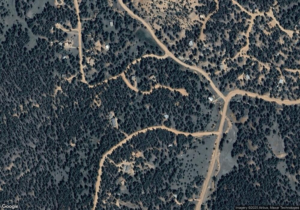
Map
Nearby Homes
- 480 Blue Mountain Dr
- 86 Wilson Dr
- 434 Blue Mountain Dr
- 117 Reed Dr
- 39 Reed Dr
- 76 Bradshaw Rd
- 110 Wallace Dr
- 382 Blue Mountain Dr
- 153 Ingles Dr
- 60 Pickens Rd
- 101 Dunlap Dr
- 30 Steven Dr
- 00 Wildhorn Rd
- 584 Pikes Peak Dr
- 784 Crestridge Rd
- 39858 Highway 24
- TBD Highway 24
- 187 Circle Dr
- 1110 Pikes Peak Dr
- 133 Lake Dr
- 553 Blue Mountain Dr
- 39 Miller Dr
- 67 Miller Dr
- 40 Miller Dr
- 120 Miller Dr
- 481 Blue Mountain Dr
- 584 Blue Mountain Dr
- 149 Phoebus Dr
- 9 Wilson Dr
- 250 Phoebus Dr
- 181 Phoebus Dr
- 220 Phoebus Dr
- 120 Reed Dr
- 44 Wilson Dr
- 300 Phoebus Dr
- 205 Phoebus Dr
- 201 Phoebus Dr
- 435 Blue Mountain Dr
- 1329 County Road 46
- 241 Phoebus Dr