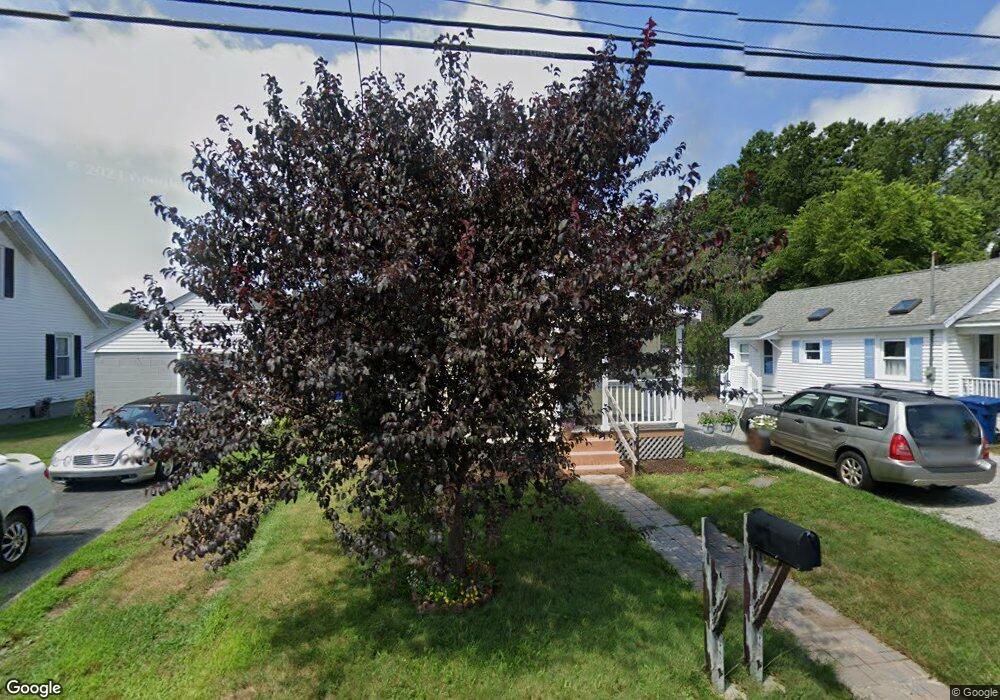
56 Miner Ave Waterford, CT 06385
Estimated Value: $222,095 - $267,000
2
Beds
1
Bath
606
Sq Ft
$404/Sq Ft
Est. Value
About This Home
This home is located at 56 Miner Ave, Waterford, CT 06385 and is currently estimated at $244,524, approximately $403 per square foot. 56 Miner Ave is a home located in New London County with nearby schools including Clark Lane Middle School, Waterford High School, and New London High School Multi-Magnet Campus.
Ownership History
Date
Name
Owned For
Owner Type
Purchase Details
Closed on
Aug 24, 2015
Sold by
Renz Kathleen W
Bought by
Bishop Jason
Current Estimated Value
Home Financials for this Owner
Home Financials are based on the most recent Mortgage that was taken out on this home.
Original Mortgage
$73,000
Outstanding Balance
$57,492
Interest Rate
4.07%
Mortgage Type
New Conventional
Estimated Equity
$187,032
Purchase Details
Closed on
Nov 13, 1997
Sold by
Spellman Daniel K and Spellman Denise L
Bought by
Wyble Laura E
Home Financials for this Owner
Home Financials are based on the most recent Mortgage that was taken out on this home.
Original Mortgage
$77,200
Interest Rate
7.23%
Mortgage Type
Purchase Money Mortgage
Create a Home Valuation Report for This Property
The Home Valuation Report is an in-depth analysis detailing your home's value as well as a comparison with similar homes in the area
Home Values in the Area
Average Home Value in this Area
Purchase History
| Date | Buyer | Sale Price | Title Company |
|---|---|---|---|
| Bishop Jason | $110,000 | -- | |
| Wyble Laura E | $77,900 | -- |
Source: Public Records
Mortgage History
| Date | Status | Borrower | Loan Amount |
|---|---|---|---|
| Open | Wyble Laura E | $73,000 | |
| Previous Owner | Wyble Laura E | $50,000 | |
| Previous Owner | Wyble Laura E | $77,200 |
Source: Public Records
Tax History Compared to Growth
Tax History
| Year | Tax Paid | Tax Assessment Tax Assessment Total Assessment is a certain percentage of the fair market value that is determined by local assessors to be the total taxable value of land and additions on the property. | Land | Improvement |
|---|---|---|---|---|
| 2025 | $2,801 | $119,900 | $64,080 | $55,820 |
| 2024 | $2,674 | $119,900 | $64,080 | $55,820 |
| 2023 | $2,542 | $119,900 | $64,080 | $55,820 |
| 2022 | $2,643 | $95,900 | $51,080 | $44,820 |
| 2021 | $2,651 | $95,900 | $51,080 | $44,820 |
| 2020 | $2,673 | $95,900 | $51,080 | $44,820 |
| 2019 | $2,683 | $95,900 | $51,080 | $44,820 |
| 2018 | $2,630 | $95,900 | $51,080 | $44,820 |
| 2017 | $2,347 | $86,820 | $41,790 | $45,030 |
| 2016 | $2,325 | $86,820 | $41,790 | $45,030 |
| 2015 | $2,243 | $86,820 | $41,790 | $45,030 |
| 2014 | $1,933 | $77,930 | $41,790 | $36,140 |
Source: Public Records
Map
Nearby Homes
- 7 Robin St
- 267 Boston Post Rd
- 270 Boston Post Rd Unit 22
- 213 Boston Post Rd
- 27 Mullen Hill Rd
- 310 Boston Post Rd Unit 86
- 54 Rope Ferry Rd Unit H133
- 164 Stoneheights Dr Unit 164
- 140 Waterford Pkwy S
- 32 Stoneheights Dr Unit 32
- 24 Stoneheights Dr
- 9 Rock Ridge Rd
- 127 Spithead Rd
- 16 Beechwood Dr
- 168 Waterford Pkwy S Unit B25
- 398 & 402 Boston Post Rd
- 398 Boston Post Rd
- 24 Pine St
- 172 Ashcraft Rd
- 9 Arrowhead Trail