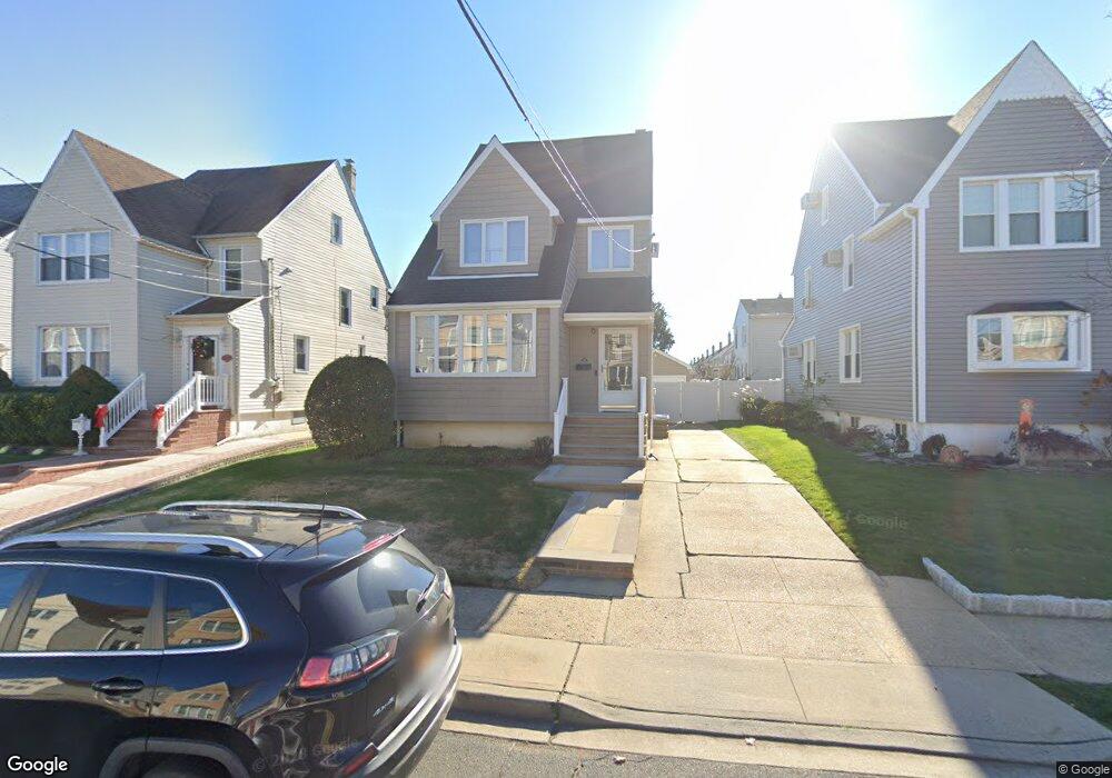
56 Munro Blvd Valley Stream, NY 11581
Estimated Value: $630,053 - $743,000
Studio
2
Baths
1,452
Sq Ft
$473/Sq Ft
Est. Value
About This Home
This home is located at 56 Munro Blvd, Valley Stream, NY 11581 and is currently estimated at $686,527, approximately $472 per square foot. 56 Munro Blvd is a home located in Nassau County with nearby schools including George W Hewlett High School, Yeshiva of South Shore, and Holy Name of Mary School.
Ownership History
Date
Name
Owned For
Owner Type
Purchase Details
Closed on
Mar 3, 2025
Sold by
Margolin Joseph B and Margolin Ellen
Bought by
Margolin Joseph B and Margolin Ellen
Current Estimated Value
Purchase Details
Closed on
Mar 23, 2009
Sold by
Margolin Joseph B and Margolin Ellen
Bought by
Margolin Joseph B and Margolin Ellen
Purchase Details
Closed on
Mar 2, 2006
Sold by
Venezia John
Bought by
Margolin Joseph
Purchase Details
Closed on
Jul 26, 2001
Sold by
Stockmann John
Bought by
Venezia John J
Create a Home Valuation Report for This Property
The Home Valuation Report is an in-depth analysis detailing your home's value as well as a comparison with similar homes in the area
Home Values in the Area
Average Home Value in this Area
Purchase History
| Date | Buyer | Sale Price | Title Company |
|---|---|---|---|
| Margolin Joseph B | -- | None Available | |
| Margolin Joseph B | -- | None Available | |
| Margolin Joseph B | -- | None Available | |
| Margolin Joseph B | -- | Attorney | |
| Margolin Joseph B | -- | Attorney | |
| Margolin Joseph B | -- | Attorney | |
| Margolin Joseph | $480,000 | -- | |
| Margolin Joseph | $480,000 | -- | |
| Venezia John J | $272,000 | Roger Delisle | |
| Venezia John J | $272,000 | Roger Delisle |
Source: Public Records
Tax History
| Year | Tax Paid | Tax Assessment Tax Assessment Total Assessment is a certain percentage of the fair market value that is determined by local assessors to be the total taxable value of land and additions on the property. | Land | Improvement |
|---|---|---|---|---|
| 2025 | $12,417 | $441 | $166 | $275 |
| 2024 | $1,696 | $441 | $166 | $275 |
| 2023 | $12,054 | $453 | $171 | $282 |
| 2022 | $12,054 | $441 | $166 | $275 |
| 2021 | $16,271 | $427 | $161 | $266 |
| 2020 | $10,362 | $488 | $344 | $144 |
| 2019 | $9,671 | $523 | $346 | $177 |
| 2018 | $9,700 | $558 | $0 | $0 |
| 2017 | $8,635 | $593 | $339 | $254 |
| 2016 | $9,989 | $628 | $359 | $269 |
| 2015 | $1,445 | $645 | $369 | $276 |
| 2014 | $1,445 | $645 | $369 | $276 |
| 2013 | $1,345 | $645 | $369 | $276 |
Source: Public Records
Map
Nearby Homes
- 80 Gibson Blvd Unit 1c
- 29 Orleans Rd
- 510 Dubois Ave Unit 11B
- 530 Dubois Ave Unit 2C
- 530 Dubois Ave Unit 1B
- 530 Dubois Ave Unit 7C
- 343 Cochran Place
- 21 Fremont Rd
- 15 Eton St
- 22 Eton St
- 165 Cochran Place
- 59 Holly Rd
- 13 Gotham St
- 1584 Kew Ave
- 51 Stevenson Rd
- 53 Lee Ave
- 1434 Noel Ave
- 9 Pine Ln
- 242 Munro Blvd
- 29 Avon Rd
Your Personal Tour Guide
Ask me questions while you tour the home.