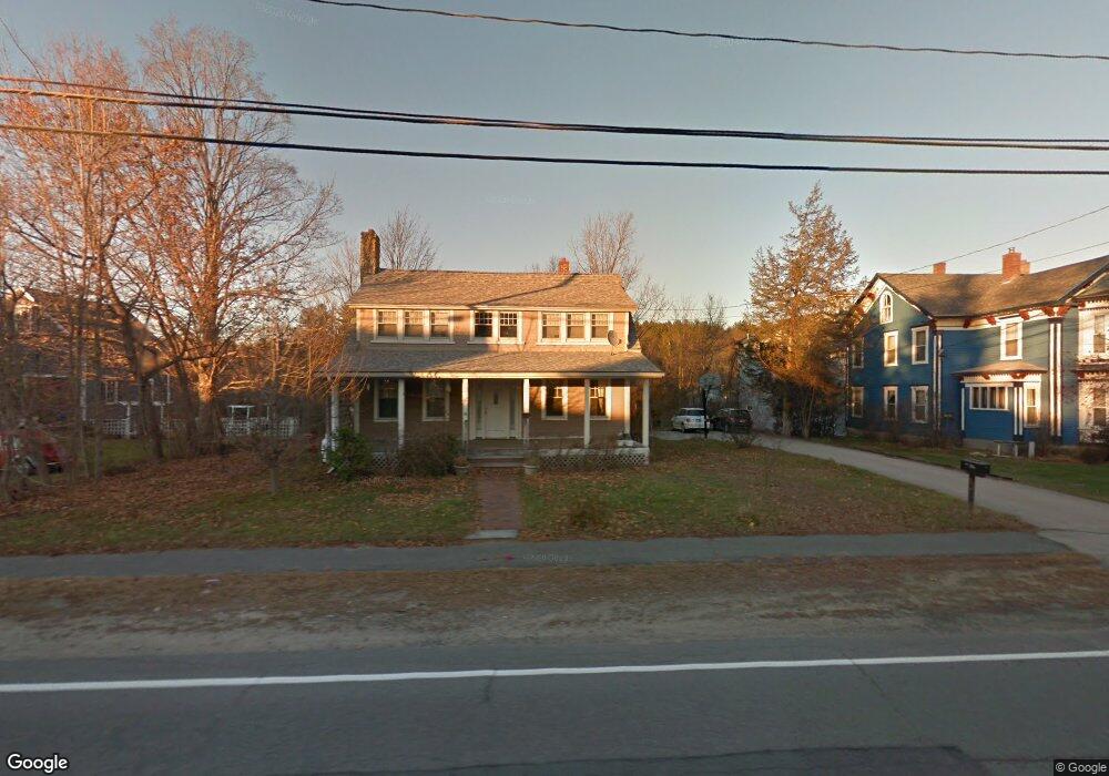
56 N Mast St Goffstown, NH 03045
Estimated Value: $465,640 - $531,000
3
Beds
2
Baths
1,717
Sq Ft
$286/Sq Ft
Est. Value
About This Home
This home is located at 56 N Mast St, Goffstown, NH 03045 and is currently estimated at $490,660, approximately $285 per square foot. 56 N Mast St is a home with nearby schools including Mountain View Middle School and Goffstown High School.
Ownership History
Date
Name
Owned For
Owner Type
Purchase Details
Closed on
Feb 20, 2004
Sold by
Bullis Russell H
Bought by
Palmer-Johnson Marcus W
Current Estimated Value
Home Financials for this Owner
Home Financials are based on the most recent Mortgage that was taken out on this home.
Original Mortgage
$168,000
Interest Rate
5.83%
Mortgage Type
Purchase Money Mortgage
Purchase Details
Closed on
Oct 15, 2002
Sold by
Spooner Perry and Spooner Sandra
Bought by
Fortin Lewis J and Fortin Penny M
Home Financials for this Owner
Home Financials are based on the most recent Mortgage that was taken out on this home.
Original Mortgage
$156,750
Interest Rate
6.24%
Purchase Details
Closed on
Apr 16, 2001
Sold by
Burl David R and Burl Patricia J
Bought by
Bullis Russell H and Bullis Cynthia D
Home Financials for this Owner
Home Financials are based on the most recent Mortgage that was taken out on this home.
Original Mortgage
$168,625
Interest Rate
6.97%
Create a Home Valuation Report for This Property
The Home Valuation Report is an in-depth analysis detailing your home's value as well as a comparison with similar homes in the area
Home Values in the Area
Average Home Value in this Area
Purchase History
| Date | Buyer | Sale Price | Title Company |
|---|---|---|---|
| Palmer-Johnson Marcus W | $210,000 | -- | |
| Fortin Lewis J | $165,000 | -- | |
| Bullis Russell H | $177,500 | -- |
Source: Public Records
Mortgage History
| Date | Status | Borrower | Loan Amount |
|---|---|---|---|
| Open | Bullis Russell H | $152,000 | |
| Closed | Bullis Russell H | $168,000 | |
| Previous Owner | Bullis Russell H | $156,750 | |
| Previous Owner | Bullis Russell H | $168,625 |
Source: Public Records
Tax History Compared to Growth
Tax History
| Year | Tax Paid | Tax Assessment Tax Assessment Total Assessment is a certain percentage of the fair market value that is determined by local assessors to be the total taxable value of land and additions on the property. | Land | Improvement |
|---|---|---|---|---|
| 2024 | $7,479 | $365,900 | $186,900 | $179,000 |
| 2023 | $6,901 | $365,900 | $186,900 | $179,000 |
| 2022 | $6,372 | $242,200 | $118,100 | $124,100 |
| 2021 | $6,011 | $242,200 | $118,100 | $124,100 |
| 2020 | $6,011 | $242,200 | $118,100 | $124,100 |
| 2019 | $5,953 | $242,200 | $118,100 | $124,100 |
| 2018 | $4,505 | $242,200 | $118,100 | $124,100 |
| 2017 | $5,624 | $205,100 | $97,800 | $107,300 |
| 2016 | $5,421 | $205,100 | $97,800 | $107,300 |
| 2015 | $5,393 | $191,500 | $88,700 | $102,800 |
| 2014 | $5,171 | $191,500 | $88,700 | $102,800 |
Source: Public Records
Map
Nearby Homes
- 25 Pleasant St
- 16 Palmer Rd
- 12 S Mast St
- 39 S Mast St
- 99 Elm St
- 232 N Mast St
- 137 Elm St
- 88 Saunders Rd
- 120 S Mast St
- 152 S Mast St
- 22 Winter Hill Rd
- 2 Larch St Unit 1
- 12 Maplewood Ave
- 21A Apple Tree Dr
- 45 Range Rd
- 29 N Riverdale Rd
- 22 Fairway Dr
- 111 Bog Brook Rd
- 0 Fairway Dr Unit 11
- 174 S Stark Hwy Unit 13