56 Patton Ct Conway, NH 03818
Estimated Value: $533,399 - $553,000
3
Beds
2
Baths
1,752
Sq Ft
$309/Sq Ft
Est. Value
About This Home
This home is located at 56 Patton Ct, Conway, NH 03818 and is currently estimated at $540,600, approximately $308 per square foot. 56 Patton Ct is a home with nearby schools including A. Crosby Kennett Middle School, Kennett High School, and The Lilliputian School.
Ownership History
Date
Name
Owned For
Owner Type
Purchase Details
Closed on
Oct 13, 2021
Sold by
Goudreau Anne M and Goudreau John L
Bought by
Baird Patrick R
Current Estimated Value
Home Financials for this Owner
Home Financials are based on the most recent Mortgage that was taken out on this home.
Original Mortgage
$369,000
Outstanding Balance
$336,494
Interest Rate
2.8%
Mortgage Type
Purchase Money Mortgage
Estimated Equity
$204,106
Purchase Details
Closed on
Feb 3, 2016
Sold by
Greenfield Carol S and Greenfield David T
Bought by
Goudreau Anne M and Goudreau John L
Purchase Details
Closed on
Jan 15, 2016
Sold by
Greenfield George L
Bought by
Greenfield Carol S and Greenfield David T
Create a Home Valuation Report for This Property
The Home Valuation Report is an in-depth analysis detailing your home's value as well as a comparison with similar homes in the area
Home Values in the Area
Average Home Value in this Area
Purchase History
| Date | Buyer | Sale Price | Title Company |
|---|---|---|---|
| Baird Patrick R | $420,000 | None Available | |
| Goudreau Anne M | $205,000 | -- | |
| Greenfield Carol S | -- | -- |
Source: Public Records
Mortgage History
| Date | Status | Borrower | Loan Amount |
|---|---|---|---|
| Open | Baird Patrick R | $369,000 |
Source: Public Records
Tax History Compared to Growth
Tax History
| Year | Tax Paid | Tax Assessment Tax Assessment Total Assessment is a certain percentage of the fair market value that is determined by local assessors to be the total taxable value of land and additions on the property. | Land | Improvement |
|---|---|---|---|---|
| 2024 | $5,068 | $402,200 | $158,500 | $243,700 |
| 2023 | $4,609 | $402,200 | $158,500 | $243,700 |
| 2022 | $3,700 | $192,900 | $75,800 | $117,100 |
| 2021 | $3,093 | $189,300 | $75,800 | $113,500 |
| 2020 | $3,534 | $189,300 | $75,800 | $113,500 |
| 2019 | $3,279 | $189,300 | $75,800 | $113,500 |
| 2018 | $3,168 | $137,800 | $44,300 | $93,500 |
| 2017 | $2,753 | $137,800 | $44,300 | $93,500 |
| 2016 | $2,661 | $137,800 | $44,300 | $93,500 |
| 2015 | $2,631 | $137,800 | $44,300 | $93,500 |
| 2014 | $2,599 | $137,800 | $44,300 | $93,500 |
| 2013 | $2,500 | $140,000 | $44,300 | $95,700 |
Source: Public Records
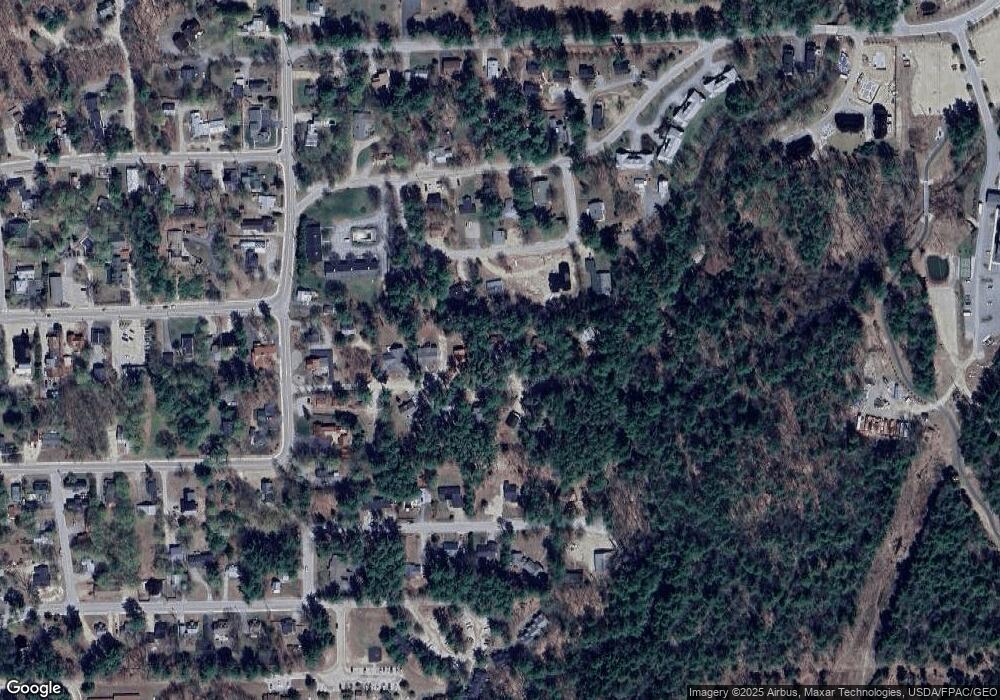
Map
Nearby Homes
- 137 Skimobile Rd Unit 3
- 11 Black Diamond Rd Unit 3
- 7 Black Diamond Rd Unit 2
- 15 Black Diamond Rd Unit 4
- 243 Skimobile Rd Unit 352
- 243 Skimobile Rd Unit 252
- 243 Skimobile Rd Unit 355
- 243 Skimobile Rd Unit 255
- 235 Skimobile Rd Unit 1404
- 239 Skimobile Rd Unit 314
- 239 Skimobile Rd Unit 305
- 239 Skimobile Rd Unit 304
- 168 Old Bartlett Rd Unit A
- 2760 New Hampshire 16 Unit E008A Week 29
- 00 Artist Falls Rd
- 72 Cranmore Woods Ln Unit 2
- 72 Cranmore Woods Ln Unit 4
- 2906 White Mountain Hwy
- 679 Kearsarge Rd
- 00 White Mountain Hwy