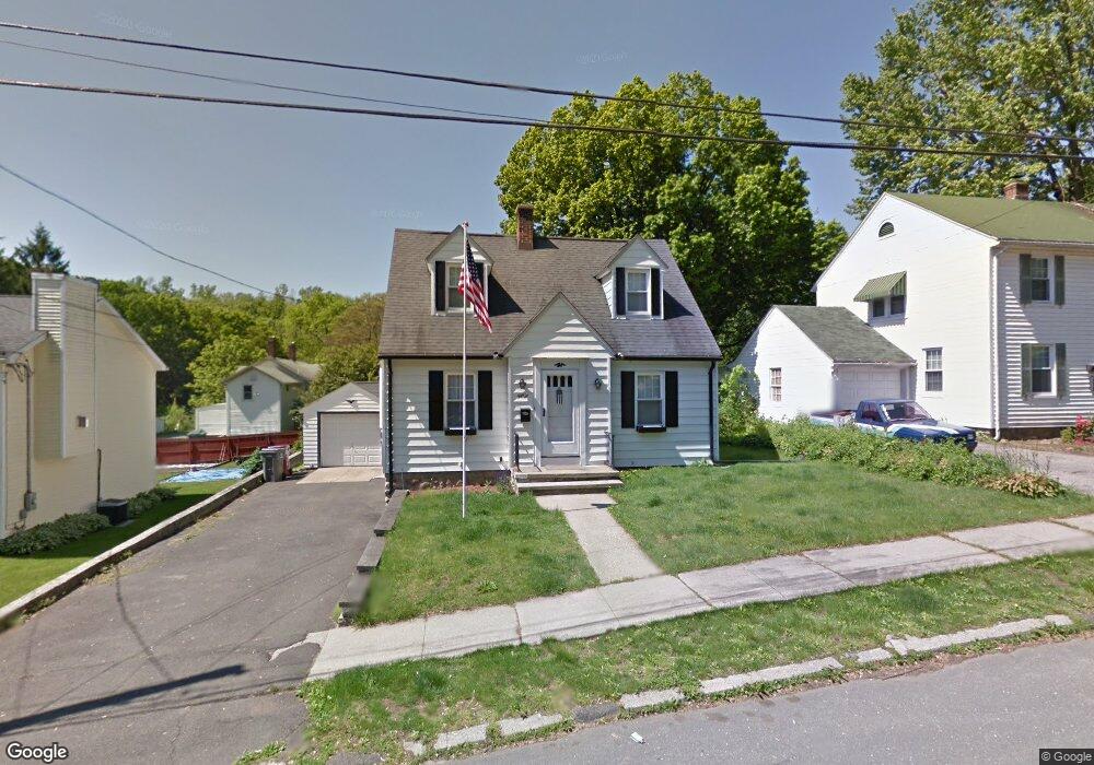
56 Radnor Ave Naugatuck, CT 06770
Estimated Value: $286,000 - $312,087
2
Beds
2
Baths
1,330
Sq Ft
$225/Sq Ft
Est. Value
About This Home
This home is located at 56 Radnor Ave, Naugatuck, CT 06770 and is currently estimated at $298,772, approximately $224 per square foot. 56 Radnor Ave is a home located in New Haven County with nearby schools including City Hill Middle School, Naugatuck High School, and Our Lady Of Mount Carmel School.
Ownership History
Date
Name
Owned For
Owner Type
Purchase Details
Closed on
Jun 30, 2017
Sold by
Genovese Robert and Genovese Rosemarie
Bought by
Genovese Anthony and Genovese Irene
Current Estimated Value
Purchase Details
Closed on
Mar 22, 1974
Bought by
Genovese Robert L and Genovese Rose Marie
Create a Home Valuation Report for This Property
The Home Valuation Report is an in-depth analysis detailing your home's value as well as a comparison with similar homes in the area
Home Values in the Area
Average Home Value in this Area
Purchase History
| Date | Buyer | Sale Price | Title Company |
|---|---|---|---|
| Genovese Anthony | -- | -- | |
| Genovese Robert L | -- | -- |
Source: Public Records
Mortgage History
| Date | Status | Borrower | Loan Amount |
|---|---|---|---|
| Previous Owner | Genovese Robert L | $84,750 | |
| Previous Owner | Genovese Robert L | $77,250 |
Source: Public Records
Tax History Compared to Growth
Tax History
| Year | Tax Paid | Tax Assessment Tax Assessment Total Assessment is a certain percentage of the fair market value that is determined by local assessors to be the total taxable value of land and additions on the property. | Land | Improvement |
|---|---|---|---|---|
| 2025 | $5,896 | $148,190 | $27,300 | $120,890 |
| 2024 | $6,193 | $148,190 | $27,300 | $120,890 |
| 2023 | $6,632 | $148,190 | $27,300 | $120,890 |
| 2022 | $5,004 | $104,800 | $29,260 | $75,540 |
| 2021 | $5,004 | $104,800 | $29,260 | $75,540 |
| 2020 | $5,004 | $104,800 | $29,260 | $75,540 |
| 2019 | $4,952 | $104,800 | $29,260 | $75,540 |
| 2018 | $4,638 | $95,930 | $35,200 | $60,730 |
| 2017 | $4,657 | $95,930 | $35,200 | $60,730 |
| 2016 | $4,573 | $95,930 | $35,200 | $60,730 |
| 2015 | $4,372 | $95,930 | $35,200 | $60,730 |
| 2014 | $4,323 | $95,930 | $35,200 | $60,730 |
| 2012 | $4,470 | $133,220 | $44,450 | $88,770 |
Source: Public Records
Map
Nearby Homes
- 69 Nancy Ln
- 92A Thunderbird Dr
- 125 Thunderbird Dr
- 66 Nancy Ln
- 23 Thunderbird Dr
- 461 Spring St Unit 9E
- 111 Mallane Ln Unit 19A
- 29 Gaby Ln
- 31 Gaby Ln
- 6 Peach St
- 1385 Highland Ave Unit 20A
- 0 Silver Ridge Ln Unit 24139632
- 2 Silver Ridge Ln
- 135 Elise Dr
- 53 Mill St
- 48 & 50 Anderson St
- 32 Greenwood St
- 0 Field St Unit 170385250
- 465 N Main St
- 32 Stanley St
- 62 Radnor Ave
- 48 Radnor Ave
- 107 Platts Mill Rd
- 44 Radnor Ave
- 113 Platts Mill Rd
- 101 Platts Mill Rd
- 6 Willow Ln
- 63 Radnor Ave
- 68 Radnor Ave
- 10 Willow Ln
- 87 Platts Mill Rd
- 16 Willow Ln
- 76 Radnor Ave
- 45 Beardsley Ave
- 133 Platts Mill Rd
- 3 Willow Ln
- 20 Willow Ln
- 79 Radnor Ave
- 47 Beardsley Ave
- 96 Radnor Ave