Estimated Value: $504,842 - $618,000
4
Beds
2
Baths
1,352
Sq Ft
$430/Sq Ft
Est. Value
About This Home
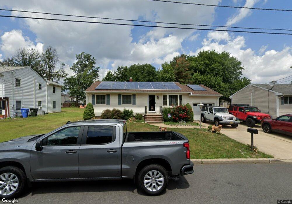
This home is located at 56 S Maple St, Fords, NJ 08863 and is currently estimated at $581,211, approximately $429 per square foot. 56 S Maple St is a home located in Middlesex County with nearby schools including Ford Avenue Elementary School, Fords Middle School, and Woodbridge High School.
Ownership History
Date
Name
Owned For
Owner Type
Purchase Details
Closed on
Aug 15, 2012
Sold by
Kenny Patrick and Kenny Gerianne
Bought by
Kenny Patrick
Current Estimated Value
Purchase Details
Closed on
Jan 15, 2008
Sold by
Torhan Bernice J
Bought by
Kenny Patrick and Kenny Gerianne
Home Financials for this Owner
Home Financials are based on the most recent Mortgage that was taken out on this home.
Original Mortgage
$292,000
Interest Rate
6.17%
Mortgage Type
Purchase Money Mortgage
Create a Home Valuation Report for This Property
The Home Valuation Report is an in-depth analysis detailing your home's value as well as a comparison with similar homes in the area
Home Values in the Area
Average Home Value in this Area
Purchase History
| Date | Buyer | Sale Price | Title Company |
|---|---|---|---|
| Kenny Patrick | -- | None Available | |
| Kenny Patrick | $365,000 | Chicago Title Insurance Co |
Source: Public Records
Mortgage History
| Date | Status | Borrower | Loan Amount |
|---|---|---|---|
| Previous Owner | Kenny Patrick | $292,000 |
Source: Public Records
Tax History
| Year | Tax Paid | Tax Assessment Tax Assessment Total Assessment is a certain percentage of the fair market value that is determined by local assessors to be the total taxable value of land and additions on the property. | Land | Improvement |
|---|---|---|---|---|
| 2025 | $12,615 | $93,200 | $22,000 | $71,200 |
| 2024 | $12,302 | $93,200 | $22,000 | $71,200 |
| 2023 | $12,302 | $93,200 | $22,000 | $71,200 |
| 2022 | $11,553 | $93,200 | $22,000 | $71,200 |
| 2021 | $11,434 | $93,200 | $22,000 | $71,200 |
| 2020 | $11,057 | $93,200 | $22,000 | $71,200 |
| 2019 | $10,777 | $93,200 | $22,000 | $71,200 |
| 2018 | $10,493 | $93,200 | $22,000 | $71,200 |
| 2017 | $10,282 | $93,200 | $22,000 | $71,200 |
| 2016 | $10,184 | $93,200 | $22,000 | $71,200 |
| 2015 | $9,984 | $93,200 | $22,000 | $71,200 |
| 2014 | $9,275 | $93,200 | $22,000 | $71,200 |
Source: Public Records
Map
Nearby Homes
- 54 Parsler Place
- 32 Kilfoyle Ave
- 21 Highview Dr
- 30 Bennet St
- 14 Bell Ave
- 92 Beverly Hill Terrace Unit F
- 206 Arlington Dr
- 340 Sharon Garden Ct
- 133 Beverly Hills Terrace Unit G
- 324 Sharon Ct
- 324 Sharon Garden Ct Unit 324
- 705 Sharon Garden Ct
- 141 Dunbar Ave
- 816 Sharon Garden Ct
- 31 Marie Rd
- 29 Highland Terrace
- 186 Metuchen Ave
- 808 King Georges Rd
- 180 Cutter Ave
- 16 Inverness Terrace
- 52 S Maple St
- 64 S Maple St
- 70 S Maple St
- 51 Parsler Place
- 59 S Maple St
- 55 Parsler Place
- 75 Howell Ave
- 65 S Maple St
- 71 Howell Ave
- 53 S Maple St
- 53 Parsler Place
- 59 Parsler Place
- 47 Parsler Place
- 71 S Maple St
- 85 Howell Ave
- 45 S Maple St
- 87 Howell Ave
- 59 Howell Ave
- 59 Howell Ave Unit 2
- 58 Parsler Place
Your Personal Tour Guide
Ask me questions while you tour the home.