560 Battle Rd Antioch, TN 37013
Estimated Value: $676,000 - $1,202,000
3
Beds
3
Baths
2,483
Sq Ft
$344/Sq Ft
Est. Value
About This Home
This home is located at 560 Battle Rd, Antioch, TN 37013 and is currently estimated at $854,400, approximately $344 per square foot. 560 Battle Rd is a home located in Davidson County with nearby schools including A.Z. Kelley Elementary School, Thurgood Marshall Middle School, and Cane Ridge High School.
Ownership History
Date
Name
Owned For
Owner Type
Purchase Details
Closed on
Jun 25, 2004
Sold by
Wilkison Stephen P and Wilkison Deborah Lynn
Bought by
Millraney James D and Millraney Diana L
Current Estimated Value
Home Financials for this Owner
Home Financials are based on the most recent Mortgage that was taken out on this home.
Original Mortgage
$255,920
Outstanding Balance
$49,939
Interest Rate
2.62%
Mortgage Type
Purchase Money Mortgage
Estimated Equity
$804,461
Create a Home Valuation Report for This Property
The Home Valuation Report is an in-depth analysis detailing your home's value as well as a comparison with similar homes in the area
Home Values in the Area
Average Home Value in this Area
Purchase History
| Date | Buyer | Sale Price | Title Company |
|---|---|---|---|
| Millraney James D | $319,900 | Saturn & Mazer Title Service |
Source: Public Records
Mortgage History
| Date | Status | Borrower | Loan Amount |
|---|---|---|---|
| Open | Millraney James D | $255,920 | |
| Closed | Millraney James D | $31,990 |
Source: Public Records
Tax History Compared to Growth
Tax History
| Year | Tax Paid | Tax Assessment Tax Assessment Total Assessment is a certain percentage of the fair market value that is determined by local assessors to be the total taxable value of land and additions on the property. | Land | Improvement |
|---|---|---|---|---|
| 2024 | $3,915 | $133,975 | $51,750 | $82,225 |
| 2023 | $3,915 | $133,975 | $51,750 | $82,225 |
| 2022 | $3,915 | $133,975 | $51,750 | $82,225 |
| 2021 | $3,956 | $133,975 | $51,750 | $82,225 |
| 2020 | $4,168 | $110,025 | $43,125 | $66,900 |
| 2019 | $3,031 | $110,025 | $43,125 | $66,900 |
| 2018 | $3,031 | $110,025 | $43,125 | $66,900 |
| 2017 | $3,031 | $110,025 | $43,125 | $66,900 |
| 2016 | $3,929 | $100,125 | $37,825 | $62,300 |
| 2015 | $3,929 | $100,125 | $37,825 | $62,300 |
| 2014 | $3,929 | $100,125 | $37,825 | $62,300 |
Source: Public Records
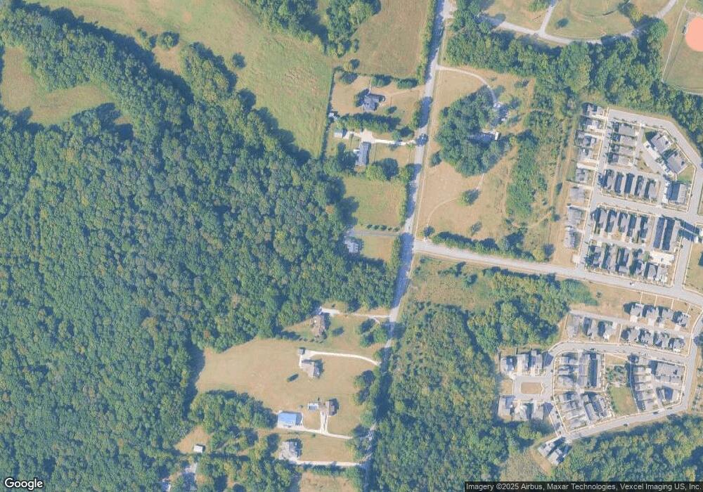
Map
Nearby Homes
- 1588 Winding Creek Dr
- 2319 Fairchild Cir
- 1936 Grace Point Ln
- 349 Moira Cir
- 503 Pleasant St
- 3115 Patcham Dr Unit 103
- 3115 Patcham Dr Unit 201
- 3107 Patcham Dr Unit 204
- 3107 Patcham Dr Unit 103
- 3220 Patcham Dr Unit 3
- 1011 Milson Ln
- 1435 Winding Creek Dr
- 2010 Oak Trail Dr
- 1427 Winding Creek Dr
- 2018 Cavell Ln
- 2030 Cavell Ln
- 311 Crows Nest Alley
- 352 Savoy Loop
- 254 Savoy Loop
- 1743 Park Terrace Ln
- 530 Battle Rd
- 7107 Carothers Rd
- 544 Battle Rd
- 533 Battle Rd
- 2364 Fairchild Cir Unit 190
- 2368 Fairchild Cir
- 2368 Fairchild Cir Unit 191
- 2368 Fairchild Cir Unit 191
- 2372 Fairchild Cir
- 2372 Fairchild Cir
- 2365 Fairchild Cir
- 2376 Fairchild Cir
- 2376 Fairchild Cir
- 2376 Fairchild Cir Unit 193
- 2376 Fairchild Cir Unit 190
- 6444 Burkitt Rd
- 2369 Fairchild Cir
- 2369 Fairchild Cir Unit 187
- 2369 Fairchild Circle #187