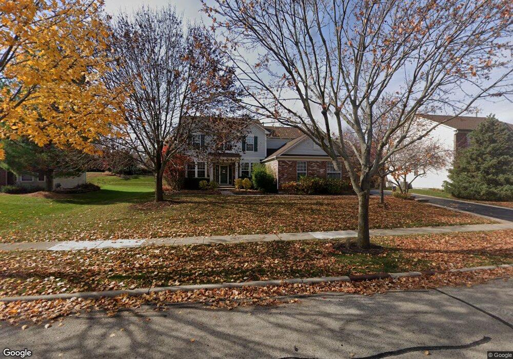
560 Brookside Ave Algonquin, IL 60102
Far West Algonquin NeighborhoodEstimated Value: $510,334 - $610,000
4
Beds
3
Baths
2,556
Sq Ft
$225/Sq Ft
Est. Value
About This Home
This home is located at 560 Brookside Ave, Algonquin, IL 60102 and is currently estimated at $574,584, approximately $224 per square foot. 560 Brookside Ave is a home located in McHenry County with nearby schools including Westfield Community School, Lincoln Prairie Elementary School, and Harry D Jacobs High School.
Ownership History
Date
Name
Owned For
Owner Type
Purchase Details
Closed on
Aug 21, 2025
Sold by
Frank Kathleen T
Bought by
Kathleen T Frank Living Trust and Frank
Current Estimated Value
Purchase Details
Closed on
May 31, 2022
Sold by
Frank Sergio A
Bought by
Frank Kathleen T
Purchase Details
Closed on
Jan 18, 2005
Sold by
Marks Bradford R and Marks Kim M
Bought by
Frank Sergio A and Frank Kathleen T
Home Financials for this Owner
Home Financials are based on the most recent Mortgage that was taken out on this home.
Original Mortgage
$308,500
Interest Rate
5.77%
Mortgage Type
Unknown
Purchase Details
Closed on
May 21, 2002
Sold by
Pulte Homes
Bought by
Marks Bradford R
Home Financials for this Owner
Home Financials are based on the most recent Mortgage that was taken out on this home.
Original Mortgage
$299,700
Interest Rate
7.07%
Create a Home Valuation Report for This Property
The Home Valuation Report is an in-depth analysis detailing your home's value as well as a comparison with similar homes in the area
Home Values in the Area
Average Home Value in this Area
Purchase History
| Date | Buyer | Sale Price | Title Company |
|---|---|---|---|
| Kathleen T Frank Living Trust | -- | None Listed On Document | |
| Frank Kathleen T | -- | None Listed On Document | |
| Frank Sergio A | $397,500 | Lawyers Title Insurance Corp | |
| Marks Bradford R | $333,145 | 1St American Title |
Source: Public Records
Mortgage History
| Date | Status | Borrower | Loan Amount |
|---|---|---|---|
| Previous Owner | Frank Sergio A | $308,500 | |
| Previous Owner | Marks Bradford R | $299,700 |
Source: Public Records
Tax History
| Year | Tax Paid | Tax Assessment Tax Assessment Total Assessment is a certain percentage of the fair market value that is determined by local assessors to be the total taxable value of land and additions on the property. | Land | Improvement |
|---|---|---|---|---|
| 2024 | $10,712 | $144,930 | $23,535 | $121,395 |
| 2023 | $10,181 | $129,622 | $21,049 | $108,573 |
| 2022 | $9,909 | $121,550 | $26,014 | $95,536 |
| 2021 | $9,516 | $113,238 | $24,235 | $89,003 |
| 2020 | $9,269 | $109,229 | $23,377 | $85,852 |
| 2019 | $9,049 | $104,546 | $22,375 | $82,171 |
| 2018 | $9,996 | $110,873 | $20,670 | $90,203 |
| 2017 | $9,804 | $104,449 | $19,472 | $84,977 |
| 2016 | $9,671 | $97,964 | $18,263 | $79,701 |
| 2013 | -- | $84,429 | $17,037 | $67,392 |
Source: Public Records
Map
Nearby Homes
- 16 Springbrook Ln
- 601 Woods Creek Ln
- 3260 Nottingham Dr
- 3610 Lakeview Dr
- 4241 Wanderlust Dr
- 531 Alpine Dr
- 940 Treeline Dr
- 2660 Harnish Dr
- 4 Greenbrier Ct
- 432 Thunder Ridge
- 895 Eineke Blvd
- 3650 Wintergreen Terrace
- 2380 Dawson Ln Unit 165
- 2930 Harnish Dr
- 305 Harvest Gate
- 2956 Harnish Dr
- 1157 Sawmill Ln
- 4051 Willow View Dr
- 610 Juniper Ln
- 74 Harvest Gate
- 550 Brookside Ave
- 570 Brookside Ave
- 571 Saratoga Cir
- 561 Saratoga Cir
- 580 Brookside Ave
- 540 Brookside Ave
- 561 Brookside Ave
- 581 Saratoga Cir
- 551 Brookside Ave
- 551 Saratoga Cir
- 571 Brookside Ave
- 541 Brookside Ave
- 530 Brookside Ave
- 591 Saratoga Cir
- 531 Brookside Ave
- 581 Brookside Ave
- 541 Saratoga Cir
- 9 Rock River Ct
- 570 Saratoga Cir
- 560 Saratoga Cir
Your Personal Tour Guide
Ask me questions while you tour the home.