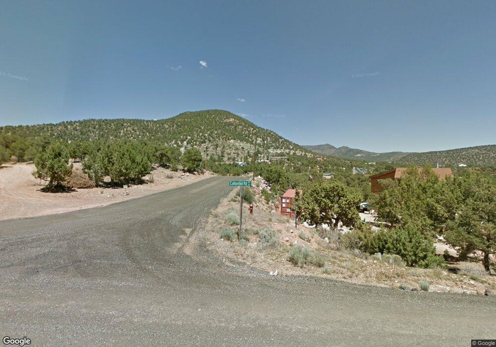
560 Cottontail Cir Central, UT 84722
Estimated Value: $405,000 - $482,000
1
Bed
2
Baths
1,556
Sq Ft
$281/Sq Ft
Est. Value
About This Home
This home is located at 560 Cottontail Cir, Central, UT 84722 and is currently estimated at $437,497, approximately $281 per square foot. 560 Cottontail Cir is a home located in Washington County with nearby schools including Enterprise School and Enterprise High School.
Ownership History
Date
Name
Owned For
Owner Type
Purchase Details
Closed on
Oct 3, 2025
Sold by
Hild Mike and Milsap Mary
Bought by
Hild Michael and Millsap Mary
Current Estimated Value
Home Financials for this Owner
Home Financials are based on the most recent Mortgage that was taken out on this home.
Original Mortgage
$40,000
Outstanding Balance
$39,764
Interest Rate
6.58%
Mortgage Type
New Conventional
Estimated Equity
$397,733
Purchase Details
Closed on
Apr 11, 2019
Sold by
Saccoccio Louis and Saccoccio Andrea
Bought by
Hild Mike and Milsap Mary
Purchase Details
Closed on
Jan 2, 2018
Sold by
Fogliani Timothy and Mcgovern Patricia M
Bought by
Saccoccio Louis and Saccoccio Andrea
Purchase Details
Closed on
Jun 1, 2017
Sold by
Willis Jimmy L and Willis Rosie M
Bought by
Fogliani Timothy and Mcgovern Patricia L
Create a Home Valuation Report for This Property
The Home Valuation Report is an in-depth analysis detailing your home's value as well as a comparison with similar homes in the area
Home Values in the Area
Average Home Value in this Area
Purchase History
We collect this data history from publicly available records. To have your information removed, we recommend requesting removal directly through your county’s website.
| Date | Buyer | Sale Price | Title Company |
|---|---|---|---|
| Hild Michael | -- | First American Title Insurance | |
| Hild Mike | -- | Southern Utah Title Company | |
| Saccoccio Louis | -- | Southern Utah Title | |
| Fogliani Timothy | -- | Terra Title Co |
Source: Public Records
Mortgage History
We collect this data history from publicly available records. To have your information removed, we recommend requesting removal directly through your county’s website.
| Date | Status | Borrower | Loan Amount |
|---|---|---|---|
| Open | Hild Michael | $40,000 |
Source: Public Records
Map
Nearby Homes
- 425 E Mule Deer Rd
- 442 E Pine View Dr
- 324 Hillside Cir
- 375 Hillcrest Cir
- 0 Hillcrest Cir
- 328 E Hillcrest
- 342 E Foothill Cir
- 371 N Pinion Cir
- 706 E Cottontail Rd
- 207 E Red Hill Rd
- 348 N Lodge Rd
- 115 E Hunter Ln
- 327 N Lodge Rd
- 202 E Rye Dr
- 0 Utah 18
- 177 E Forest Dr
- 128 E Forest Dr
- 131 N Butch Cassidy Trail
- 25 N Doc Holiday Ln
- 25 N Doc Holiday Ln Unit 49
- 791 Cottontail Cir
- 0 Cottontail Cir Unit Lot 69
- 0 Cottontail Cir Unit 19-207056
- 0 Cottontail Cir Unit 87915
- 0 Cottontail Cir Unit 21-223698
- 0 Cottontail Cir Unit 1294939
- 0 Cottontail Rd
- 247 Cottontail Cir
- 467 E Cottontail Rd
- 282 N Mountain View Dr Unit 73
- 282 N Mountain View Dr
- 0 E Cottontail Dde-2-40 Rd
- 232 N Mountain View Dr
- 480 E Cottontail Rd
- 352 N Cottontail Rd
- 511 E Cottontail Rd
- 327 N Mountain View Dr
- 322 E Cottontail Rd
- 451 E Pine View Dr
- 315 N Mountain View Dr
Your Personal Tour Guide
Ask me questions while you tour the home.