560 Cove Lane Rd Roaring Spring, PA 16673
Estimated Value: $221,000 - $315,000
--
Bed
--
Bath
--
Sq Ft
0.81
Acres
About This Home
This home is located at 560 Cove Lane Rd, Roaring Spring, PA 16673 and is currently estimated at $271,621. 560 Cove Lane Rd is a home located in Blair County with nearby schools including Spring Cove Elementary School, Spring Cove Middle School, and Central High School.
Ownership History
Date
Name
Owned For
Owner Type
Purchase Details
Closed on
Dec 30, 2005
Sold by
Russell Charles W and Kaye Russell S
Bought by
Guyer Jason C and Guyer Michelle L
Current Estimated Value
Home Financials for this Owner
Home Financials are based on the most recent Mortgage that was taken out on this home.
Original Mortgage
$81,000
Outstanding Balance
$45,851
Interest Rate
6.39%
Mortgage Type
New Conventional
Estimated Equity
$225,770
Create a Home Valuation Report for This Property
The Home Valuation Report is an in-depth analysis detailing your home's value as well as a comparison with similar homes in the area
Home Values in the Area
Average Home Value in this Area
Purchase History
| Date | Buyer | Sale Price | Title Company |
|---|---|---|---|
| Guyer Jason C | $177,000 | None Available |
Source: Public Records
Mortgage History
| Date | Status | Borrower | Loan Amount |
|---|---|---|---|
| Open | Guyer Jason C | $81,000 |
Source: Public Records
Tax History Compared to Growth
Tax History
| Year | Tax Paid | Tax Assessment Tax Assessment Total Assessment is a certain percentage of the fair market value that is determined by local assessors to be the total taxable value of land and additions on the property. | Land | Improvement |
|---|---|---|---|---|
| 2025 | $3,320 | $193,700 | $31,000 | $162,700 |
| 2024 | $3,119 | $193,700 | $31,000 | $162,700 |
| 2023 | $3,037 | $193,700 | $31,000 | $162,700 |
| 2022 | $2,994 | $193,700 | $31,000 | $162,700 |
| 2021 | $2,994 | $193,700 | $31,000 | $162,700 |
| 2020 | $2,990 | $193,700 | $31,000 | $162,700 |
| 2019 | $2,898 | $193,700 | $31,000 | $162,700 |
| 2018 | $2,832 | $193,700 | $31,000 | $162,700 |
| 2017 | $22,294 | $180,900 | $31,000 | $149,900 |
| 2016 | $558 | $15,440 | $1,190 | $14,250 |
| 2015 | $558 | $15,440 | $1,190 | $14,250 |
| 2014 | $558 | $15,440 | $1,190 | $14,250 |
Source: Public Records
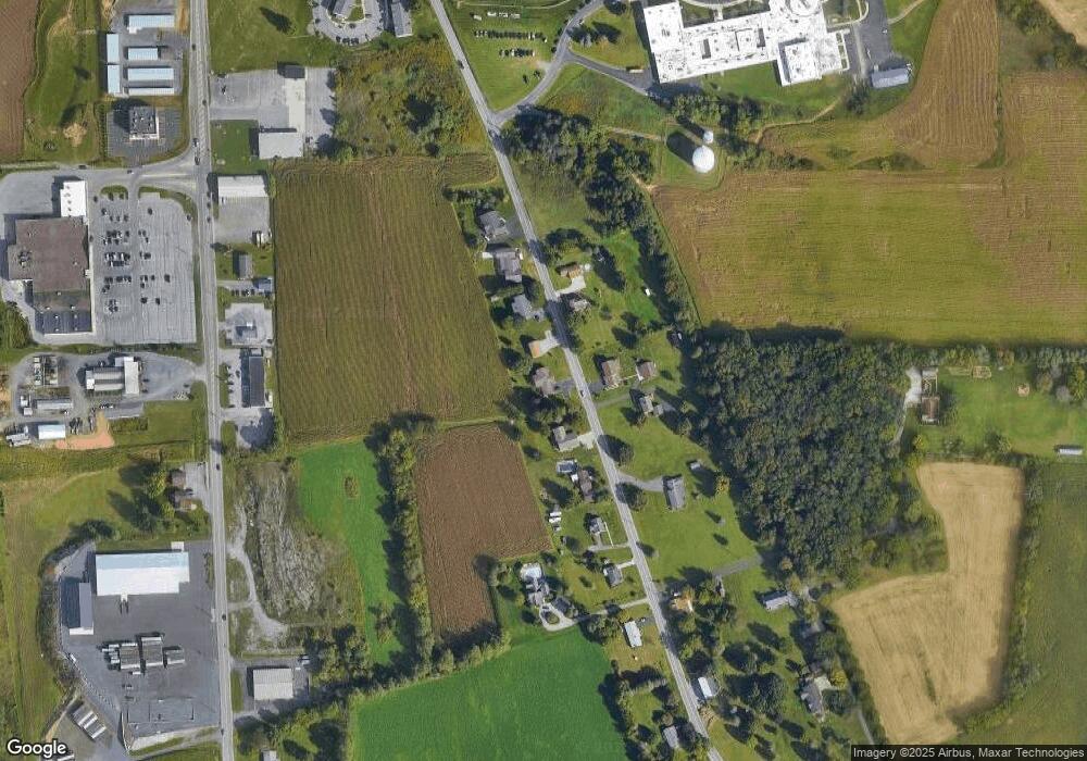
Map
Nearby Homes
- 817 New St
- 717 New St
- 932 Beech St
- 1194 Spang St Unit ext.
- 304 Poplar St
- 234 Cherry St
- 452 Shawnee Dr
- 1310 Cove Lane Rd
- 1066 Oak Terrace Dr
- 1246 Oak Terrace Dr
- 476 Wilbur Forest Dr
- 1105 Oak Terrace Dr
- 563 Lock Mountain Rd
- 15033 Dunnings Hwy
- . Heverly Ave
- 304 W Penn St
- 331 N Nicodemus St
- 0 Dunnings Hwy Unit 63202
- 682 Piney Creek Rd
- 106 Arden St
- 554 Cove Lane Rd
- 555 Cove Lane Rd
- 563 Cove Lane Rd
- 564 Cove Lane Rd
- 528 Cove Lane Rd
- 566 Cove Lane Rd
- 565 Cove Lane Rd
- 514 Cove Lane Rd
- 525 Cove Lane Rd
- 578 Cove Lane Rd
- 591 Cove Lane Rd
- 00 Woodbury Pike Lots 6-19
- 600 Cove Lane Rd
- 598 Cove Lane Rd
- 0 Cove Lane Rd
- 7390 Woodbury Pike
- 605 Cove Lane Rd
- 608 Cove Lane Rd
- 7406 Woodbury Pike
- 211 Oak Ridge Dr