560 Lower Myrick Rd Laurel, MS 39443
Estimated Value: $174,000 - $228,000
Studio
--
Bath
1,946
Sq Ft
$101/Sq Ft
Est. Value
About This Home
This home is located at 560 Lower Myrick Rd, Laurel, MS 39443 and is currently estimated at $197,451, approximately $101 per square foot. 560 Lower Myrick Rd is a home located in Jones County.
Ownership History
Date
Name
Owned For
Owner Type
Purchase Details
Closed on
Apr 23, 2021
Sold by
Hill Georgia and Ponder Patsy Mccraw
Bought by
Ponder Patsy Mccraw and Hill Georgia
Current Estimated Value
Purchase Details
Closed on
Feb 25, 2013
Sold by
Holcomb Fairy Wood
Bought by
The Estate Of Faye Jelinda Mclaurin And
Purchase Details
Closed on
Jun 24, 2009
Sold by
Hill Georgia and Mccraw Patsy
Bought by
Holcomb Fairy Wood
Purchase Details
Closed on
Jan 15, 2009
Sold by
Holcomb Fairy Wood
Bought by
Hill Georgia and Mccraw Patsy
Create a Home Valuation Report for This Property
The Home Valuation Report is an in-depth analysis detailing your home's value as well as a comparison with similar homes in the area
Purchase History
| Date | Buyer | Sale Price | Title Company |
|---|---|---|---|
| Ponder Patsy Mccraw | -- | -- | |
| The Estate Of Faye Jelinda Mclaurin And | -- | -- | |
| Holcomb Fairy Wood | -- | -- | |
| Hill Georgia | -- | -- |
Source: Public Records
Tax History
| Year | Tax Paid | Tax Assessment Tax Assessment Total Assessment is a certain percentage of the fair market value that is determined by local assessors to be the total taxable value of land and additions on the property. | Land | Improvement |
|---|---|---|---|---|
| 2025 | $844 | $8,242 | $0 | $0 |
| 2024 | $876 | $8,097 | $0 | $0 |
| 2023 | $876 | $11,884 | $0 | $0 |
| 2022 | $1,541 | $11,901 | $0 | $0 |
| 2021 | $760 | $8,148 | $0 | $0 |
| 2020 | $795 | $8,277 | $0 | $0 |
| 2019 | $795 | $8,247 | $0 | $0 |
| 2018 | $793 | $8,232 | $0 | $0 |
| 2017 | $791 | $8,220 | $0 | $0 |
| 2016 | $675 | $7,518 | $0 | $0 |
| 2015 | -- | $7,487 | $0 | $0 |
| 2014 | -- | $7,458 | $0 | $0 |
Source: Public Records
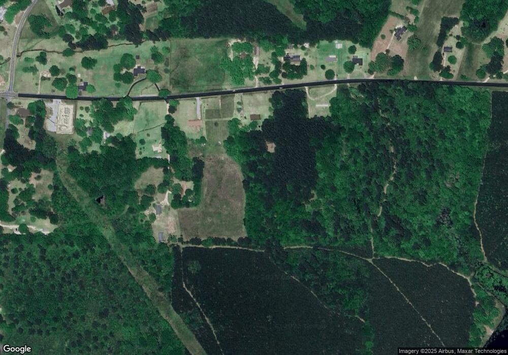
Map
Nearby Homes
- 12 George Holcomb Rd
- 603 Lower Myrick Rd
- 574 Lower Myrick Rd
- 21 George Holcomb Rd
- 0 Myrick Rd
- 547 Lower Myrick Rd
- 573 Lower Myrick Rd
- 534 Lower Myrick Rd
- 24 George Holcomb Rd
- 585 Lower Myrick Rd
- 533 Lower Myrick Rd
- 42 Reid Rd
- 523 Lower Myrick Rd
- 46 Reid Rd
- 518 Lower Myrick Rd
- 36 Reid Rd
- 601 Lower Myrick Rd
- 30 Reid Rd
- 60 Reid Rd
- 513 Lower Myrick Rd
Your Personal Tour Guide
Ask me questions while you tour the home.