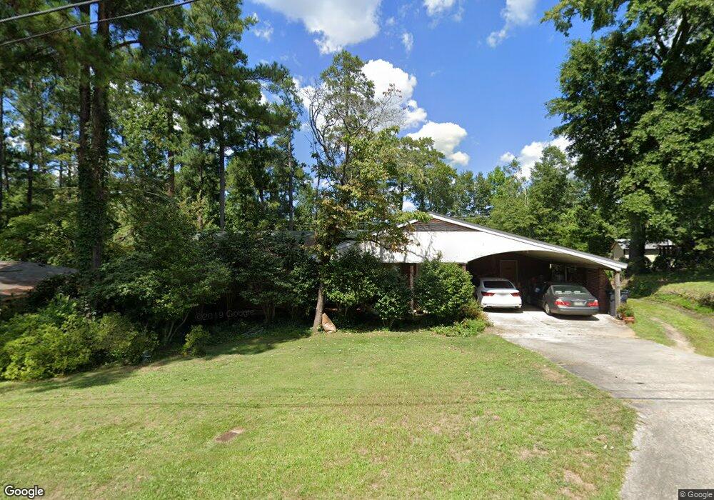
560 Martin Ln Augusta, GA 30909
Lake Aumond NeighborhoodEstimated Value: $219,032 - $234,000
3
Beds
2
Baths
1,485
Sq Ft
$153/Sq Ft
Est. Value
About This Home
This home is located at 560 Martin Ln, Augusta, GA 30909 and is currently estimated at $227,508, approximately $153 per square foot. 560 Martin Ln is a home located in Richmond County with nearby schools including R.B. Hunt Elementary School, Lake Forest Hills Elementary School, and Langford Middle School.
Ownership History
Date
Name
Owned For
Owner Type
Purchase Details
Closed on
Jun 8, 2009
Sold by
Law Joyce G
Bought by
Law Douglas R
Current Estimated Value
Home Financials for this Owner
Home Financials are based on the most recent Mortgage that was taken out on this home.
Original Mortgage
$50,209
Interest Rate
4.77%
Purchase Details
Closed on
Nov 25, 1986
Sold by
Heath Helen B
Bought by
Law Douglas R Law Joyce G
Create a Home Valuation Report for This Property
The Home Valuation Report is an in-depth analysis detailing your home's value as well as a comparison with similar homes in the area
Home Values in the Area
Average Home Value in this Area
Purchase History
| Date | Buyer | Sale Price | Title Company |
|---|---|---|---|
| Law Douglas R | -- | -- | |
| Law Douglas R Law Joyce G | $60,000 | -- |
Source: Public Records
Mortgage History
| Date | Status | Borrower | Loan Amount |
|---|---|---|---|
| Closed | Law Douglas R | $50,209 |
Source: Public Records
Tax History Compared to Growth
Tax History
| Year | Tax Paid | Tax Assessment Tax Assessment Total Assessment is a certain percentage of the fair market value that is determined by local assessors to be the total taxable value of land and additions on the property. | Land | Improvement |
|---|---|---|---|---|
| 2025 | $1,021 | $77,784 | $12,000 | $65,784 |
| 2024 | $1,021 | $80,188 | $12,000 | $68,188 |
| 2023 | $658 | $57,184 | $12,000 | $45,184 |
| 2022 | $950 | $63,584 | $12,000 | $51,584 |
| 2021 | $917 | $54,869 | $12,000 | $42,869 |
| 2020 | $1,553 | $43,376 | $10,400 | $32,976 |
| 2019 | $1,637 | $43,376 | $10,400 | $32,976 |
| 2018 | $1,648 | $43,376 | $10,400 | $32,976 |
| 2017 | $1,606 | $43,376 | $10,400 | $32,976 |
| 2016 | $1,607 | $43,376 | $10,400 | $32,976 |
| 2015 | $1,617 | $43,376 | $10,400 | $32,976 |
| 2014 | $1,619 | $43,376 | $10,400 | $32,976 |
Source: Public Records
Map
Nearby Homes
- 565 Martin Ln
- 552 Whitehead Dr
- 3101 Trafalgar Dr
- 2823 Walters Ct
- 712 Westminster Ct
- 533 Basin St
- 542 Basin St
- 543 Basin St
- 441 Aumond Rd
- 756 Oberlin Rd
- 427 Aumond Rd
- 12 Shadowbrook Cir
- 750 Lancaster Rd
- 2743 Blount Ave
- 525 Henderson Dr
- 505 Stratford Dr
- 2818 Hazel St
- 751 Lancaster Rd
- 3071 Walton Way
- 3075 Walton Way