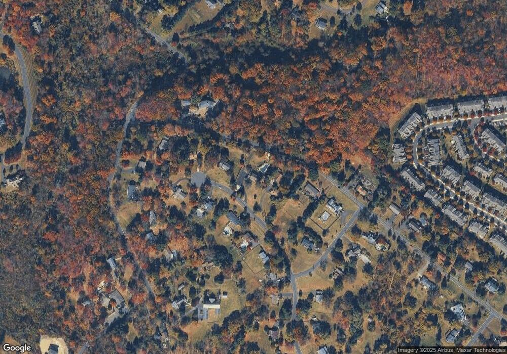
560 Mccarty Dr Furlong, PA 18925
Estimated Value: $681,000 - $820,000
5
Beds
3
Baths
3,151
Sq Ft
$241/Sq Ft
Est. Value
About This Home
This home is located at 560 Mccarty Dr, Furlong, PA 18925 and is currently estimated at $759,329, approximately $240 per square foot. 560 Mccarty Dr is a home located in Bucks County with nearby schools including Bridge Valley Elementary School, Lenape Middle School, and Central Bucks High School-West.
Ownership History
Date
Name
Owned For
Owner Type
Purchase Details
Closed on
Mar 27, 2009
Sold by
Lennon Margaret
Bought by
Cimakasky Richard A and Cimakasky Maria C
Current Estimated Value
Home Financials for this Owner
Home Financials are based on the most recent Mortgage that was taken out on this home.
Original Mortgage
$382,500
Outstanding Balance
$244,386
Interest Rate
5.14%
Mortgage Type
Purchase Money Mortgage
Estimated Equity
$514,943
Purchase Details
Closed on
Sep 29, 2008
Sold by
Lennon Thomas J and Lennon Margaret
Bought by
Lennon Margaret
Purchase Details
Closed on
Nov 23, 1994
Sold by
Miller Joan V
Bought by
Lennon Thomas J and Lennon Margaret
Home Financials for this Owner
Home Financials are based on the most recent Mortgage that was taken out on this home.
Original Mortgage
$214,200
Interest Rate
7.75%
Create a Home Valuation Report for This Property
The Home Valuation Report is an in-depth analysis detailing your home's value as well as a comparison with similar homes in the area
Home Values in the Area
Average Home Value in this Area
Purchase History
| Date | Buyer | Sale Price | Title Company |
|---|---|---|---|
| Cimakasky Richard A | $425,000 | None Available | |
| Lennon Margaret | -- | None Available | |
| Lennon Thomas J | -- | -- |
Source: Public Records
Mortgage History
| Date | Status | Borrower | Loan Amount |
|---|---|---|---|
| Open | Cimakasky Richard A | $382,500 | |
| Previous Owner | Lennon Thomas J | $214,200 |
Source: Public Records
Tax History Compared to Growth
Tax History
| Year | Tax Paid | Tax Assessment Tax Assessment Total Assessment is a certain percentage of the fair market value that is determined by local assessors to be the total taxable value of land and additions on the property. | Land | Improvement |
|---|---|---|---|---|
| 2025 | $8,395 | $47,440 | $8,240 | $39,200 |
| 2024 | $8,395 | $47,440 | $8,240 | $39,200 |
| 2023 | $8,005 | $47,440 | $8,240 | $39,200 |
| 2022 | $7,916 | $47,440 | $8,240 | $39,200 |
| 2021 | $7,753 | $47,440 | $8,240 | $39,200 |
| 2020 | $7,717 | $47,440 | $8,240 | $39,200 |
| 2019 | $7,634 | $47,440 | $8,240 | $39,200 |
| 2018 | $7,611 | $47,440 | $8,240 | $39,200 |
| 2017 | $7,551 | $47,440 | $8,240 | $39,200 |
| 2016 | $7,504 | $47,440 | $8,240 | $39,200 |
| 2015 | -- | $47,440 | $8,240 | $39,200 |
| 2014 | -- | $47,440 | $8,240 | $39,200 |
Source: Public Records
Map
Nearby Homes
- 2443 Sugar Bottom Rd
- 547 Mccarty Dr
- 3060 Cloverly Dr
- 2372 Dorchester St W Unit W
- 3017 Dorchester St E Unit 125
- 1249 Pebble Hill Rd
- 106 Saddle Dr
- 21 Shady Springs Dr
- 45 Bedford Ave
- 152 Watercrest Dr
- 2209 Swamp Rd
- 137 Pebble Woods Dri Pebble Woods Dr
- 2080 Bedfordshire Rd
- 223 Cherry Ln
- 150 Watercrest Dr
- 1834 Augusta Dr
- 108 Eagle Ct Unit 105
- 000 Cherry Ln
- 2320 Turk Rd
- 11 Dogwood Ln
- 559 Mccarty Dr
- 561 Mccarty Dr
- 549 Mccarty Dr
- 550 Mccarty Dr
- 558 Mccarty Dr
- 136 Sugar Bottom Rd
- 548 Mccarty Dr
- 2459 Sugar Bottom Rd
- 557 Mccarty Dr
- 1031 Sugar Bottom Rd
- 563 Foy Dr
- 562 Foy Dr
- 2505 Pebble Hill Rd
- 2419 Sugar Bottom Rd
- 1051 Pebble Hill Rd
- 1057 Pebble Hill Rd
- 1045 Pebble Hill Rd
- 1069 Pebble Hill Rd
- 1071 Pebble Hill Rd
- 1073 Pebble Hill Rd
