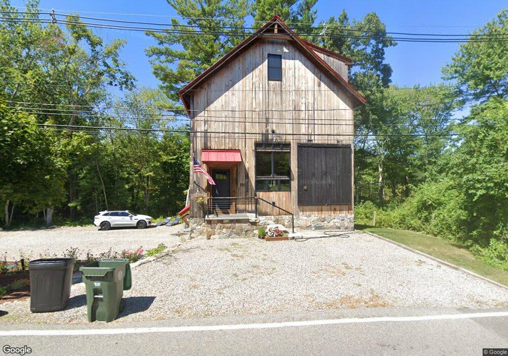
560 Spring St Marshfield, MA 02050
Estimated Value: $1,121,000 - $1,251,000
4
Beds
3
Baths
2,695
Sq Ft
$440/Sq Ft
Est. Value
About This Home
This home is located at 560 Spring St, Marshfield, MA 02050 and is currently estimated at $1,185,566, approximately $439 per square foot. 560 Spring St is a home with nearby schools including Martinson Elementary School, Furnace Brook Middle School, and Marshfield High School.
Ownership History
Date
Name
Owned For
Owner Type
Purchase Details
Closed on
Oct 21, 2016
Sold by
Crouch Daniel R and Oneil-Crouch Barbarann
Bought by
Verni Rick M
Current Estimated Value
Purchase Details
Closed on
Jan 31, 2013
Sold by
Sheehan Thomas A and Sheehan Jaana L
Bought by
Crouch Daniel R and Crouch Barbarann O
Create a Home Valuation Report for This Property
The Home Valuation Report is an in-depth analysis detailing your home's value as well as a comparison with similar homes in the area
Home Values in the Area
Average Home Value in this Area
Purchase History
| Date | Buyer | Sale Price | Title Company |
|---|---|---|---|
| Verni Rick M | $125,000 | -- | |
| Crouch Daniel R | $65,000 | -- |
Source: Public Records
Tax History Compared to Growth
Tax History
| Year | Tax Paid | Tax Assessment Tax Assessment Total Assessment is a certain percentage of the fair market value that is determined by local assessors to be the total taxable value of land and additions on the property. | Land | Improvement |
|---|---|---|---|---|
| 2025 | $9,926 | $1,002,600 | $414,700 | $587,900 |
| 2024 | $9,840 | $947,100 | $414,700 | $532,400 |
| 2023 | $9,724 | $835,700 | $373,400 | $462,300 |
| 2022 | $9,724 | $750,900 | $355,400 | $395,500 |
| 2021 | $8,865 | $672,100 | $316,200 | $355,900 |
| 2020 | $6,400 | $480,100 | $316,200 | $163,900 |
| 2019 | $3,969 | $296,600 | $296,600 | $0 |
| 2018 | $627 | $46,900 | $35,300 | $11,600 |
| 2017 | $623 | $45,400 | $33,100 | $12,300 |
| 2016 | $584 | $42,100 | $29,800 | $12,300 |
| 2015 | $530 | $39,900 | $27,600 | $12,300 |
| 2014 | $530 | $39,900 | $26,600 | $13,300 |
Source: Public Records
Map
Nearby Homes
- 1 Valley Path
- 32 Carolyn Cir
- 64 Carolyn Cir
- 480 Pleasant St
- 908 Main St
- 55 Macombers Way
- 9 Cushing Park Rd
- 1155 Main St
- 76 Macombers Way
- 26 Damons Point Cir
- 250 River St
- 260 River St
- 10 Shrine Rd
- 734 Main St
- 10 Penstock Ln
- 21 Chowdermarch St
- 252 Winter St
- 17 Old Oaken Bucket Rd
- 3 Webster Farm Way
- 5 Webster Farm Way
- 563 Spring St
- 440 Highland St
- 459 Highland St
- 451 Highland St
- 512 Spring St
- 437 Highland St
- 506 Highland St
- 511 Spring St
- 428 Highland St
- 504 Spring St
- 509 Highland St
- 421 Highland St
- 494 Spring St
- 406 Highland St
- 489 Spring St
- 521 Spring St
- 486 Spring St
- 486 Spring St Unit 1
- 486 Spring St
- 409 Highland St