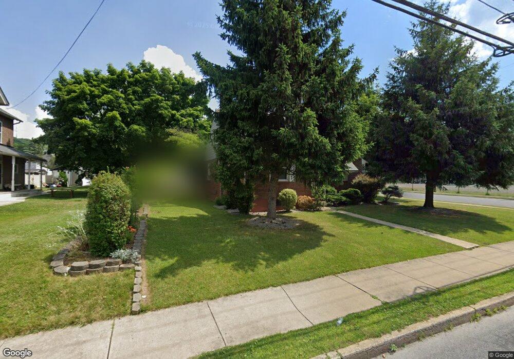
560 W Emaus Ave Unit 564 Allentown, PA 18103
Southside NeighborhoodEstimated Value: $295,000 - $327,000
4
Beds
2
Baths
1,500
Sq Ft
$206/Sq Ft
Est. Value
About This Home
This home is located at 560 W Emaus Ave Unit 564, Allentown, PA 18103 and is currently estimated at $308,666, approximately $205 per square foot. 560 W Emaus Ave Unit 564 is a home located in Lehigh County with nearby schools including Hiram W Dodd Elementary School, South Mountain Middle School, and Louis E. Dieruff High School.
Ownership History
Date
Name
Owned For
Owner Type
Purchase Details
Closed on
Dec 23, 2004
Sold by
Zimmerman Margaret L and Zimmerman Thomas L
Bought by
Rojas Jorge L
Current Estimated Value
Home Financials for this Owner
Home Financials are based on the most recent Mortgage that was taken out on this home.
Original Mortgage
$132,905
Outstanding Balance
$66,603
Interest Rate
5.74%
Mortgage Type
Credit Line Revolving
Estimated Equity
$242,063
Create a Home Valuation Report for This Property
The Home Valuation Report is an in-depth analysis detailing your home's value as well as a comparison with similar homes in the area
Home Values in the Area
Average Home Value in this Area
Purchase History
| Date | Buyer | Sale Price | Title Company |
|---|---|---|---|
| Rojas Jorge L | $139,900 | -- |
Source: Public Records
Mortgage History
| Date | Status | Borrower | Loan Amount |
|---|---|---|---|
| Open | Rojas Jorge L | $132,905 |
Source: Public Records
Tax History Compared to Growth
Tax History
| Year | Tax Paid | Tax Assessment Tax Assessment Total Assessment is a certain percentage of the fair market value that is determined by local assessors to be the total taxable value of land and additions on the property. | Land | Improvement |
|---|---|---|---|---|
| 2025 | $5,141 | $153,100 | $21,700 | $131,400 |
| 2024 | $5,141 | $153,100 | $21,700 | $131,400 |
| 2023 | $5,141 | $153,100 | $21,700 | $131,400 |
| 2022 | $4,967 | $153,100 | $131,400 | $21,700 |
| 2021 | $4,871 | $153,100 | $21,700 | $131,400 |
| 2020 | $4,748 | $153,100 | $21,700 | $131,400 |
| 2019 | $4,674 | $153,100 | $21,700 | $131,400 |
| 2018 | $4,339 | $153,100 | $21,700 | $131,400 |
| 2017 | $4,232 | $153,100 | $21,700 | $131,400 |
| 2016 | -- | $153,100 | $21,700 | $131,400 |
| 2015 | -- | $153,100 | $21,700 | $131,400 |
| 2014 | -- | $153,100 | $21,700 | $131,400 |
Source: Public Records
Map
Nearby Homes
- 566 W Emaus Ave
- 566 588 W Emaus Ave
- 2347 S Law St Unit 2349
- 2416 S Alice St Unit 2418
- 2401 S Church St
- 642 W Emaus Ave
- 2413 S Church St
- 2441 S 4th St
- 206 208 W Emaus Ave
- 316 W Mountain Rd
- 618 Clifford St
- 1852 S 2nd St
- 1831 S Church St
- 2429 S Front St
- 2421 S Wood St
- 148 W Brookdale St
- 203 W Brookdale St
- 2343 S 9th St
- 2531 S Carbon St
- 1901 S Delaware St
- 554 W Emaus Ave
- 556 W Emaus Ave
- 550 W Emaus Ave Unit 552
- 2315 S Law St Unit 2321
- 546 W Emaus Ave Unit 548
- 555 W Emaus Ave Unit 561
- 551 W Emaus Ave Unit 553
- 563 W Emaus Ave
- 542 W Emaus Ave
- 545 W Emaus Ave
- 2323 S Law St Unit 2327
- 547 W Emaus Ave Unit 549
- 538 W Emaus Ave Unit 540
- 2325 S Law St
- 543 W Emaus Ave Unit 545
- 2329 S Law St Unit 2331
- 579 W Emaus Ave
- 2324 S Alice St Unit 2328
- 2014 S Law St
- 2330 S Alice St Unit 2332