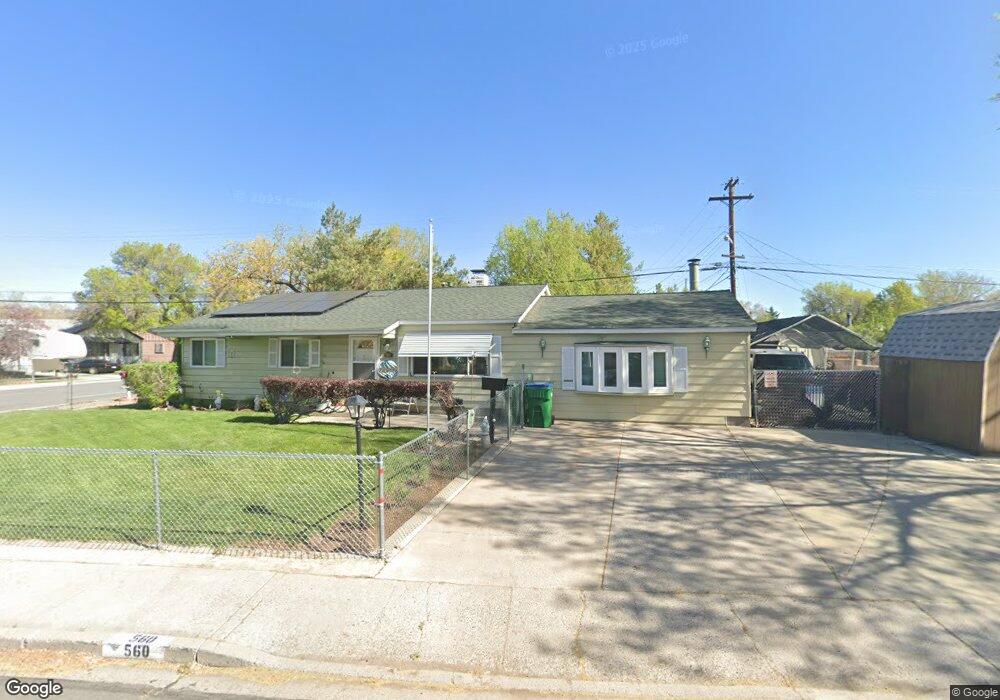
560 York Way Sparks, NV 89431
McCarran Boulevard-Probasco NeighborhoodEstimated Value: $366,103 - $437,000
3
Beds
1
Bath
1,131
Sq Ft
$351/Sq Ft
Est. Value
About This Home
This home is located at 560 York Way, Sparks, NV 89431 and is currently estimated at $397,526, approximately $351 per square foot. 560 York Way is a home located in Washoe County with nearby schools including Florence Drake Elementary School, George L Dilworth Middle School, and Sparks High School.
Ownership History
Date
Name
Owned For
Owner Type
Purchase Details
Closed on
Sep 12, 1997
Sold by
Clements Gerald D and Clements Erma J
Bought by
Hruz Martin A and Hruz Karen A
Current Estimated Value
Home Financials for this Owner
Home Financials are based on the most recent Mortgage that was taken out on this home.
Original Mortgage
$117,000
Interest Rate
7.45%
Mortgage Type
VA
Purchase Details
Closed on
Feb 1, 1997
Sold by
Clements Gerald D and Clements Erma J
Bought by
Clements Gerald D and Clements Erma J
Create a Home Valuation Report for This Property
The Home Valuation Report is an in-depth analysis detailing your home's value as well as a comparison with similar homes in the area
Home Values in the Area
Average Home Value in this Area
Purchase History
| Date | Buyer | Sale Price | Title Company |
|---|---|---|---|
| Hruz Martin A | $117,000 | Western Title Company Inc | |
| Clements Gerald D | -- | -- |
Source: Public Records
Mortgage History
| Date | Status | Borrower | Loan Amount |
|---|---|---|---|
| Previous Owner | Hruz Martin A | $117,000 |
Source: Public Records
Tax History Compared to Growth
Tax History
| Year | Tax Paid | Tax Assessment Tax Assessment Total Assessment is a certain percentage of the fair market value that is determined by local assessors to be the total taxable value of land and additions on the property. | Land | Improvement |
|---|---|---|---|---|
| 2025 | $626 | $51,549 | $33,565 | $17,984 |
| 2024 | $609 | $47,853 | $30,065 | $17,788 |
| 2023 | $609 | $47,732 | $31,325 | $16,407 |
| 2022 | $710 | $39,513 | $26,180 | $13,333 |
| 2021 | $689 | $30,819 | $17,955 | $12,864 |
| 2020 | $668 | $29,744 | $16,940 | $12,804 |
| 2019 | $648 | $27,978 | $15,890 | $12,088 |
| 2018 | $631 | $23,331 | $11,725 | $11,606 |
| 2017 | $612 | $22,008 | $10,395 | $11,613 |
| 2016 | $599 | $20,967 | $9,345 | $11,622 |
| 2015 | $599 | $19,238 | $7,700 | $11,538 |
| 2014 | $581 | $17,644 | $6,440 | $11,204 |
| 2013 | -- | $15,380 | $4,270 | $11,110 |
Source: Public Records
Map
Nearby Homes
- 1945 4th St Unit 32
- 1945 4th St Unit 33
- 1945 4th St Unit 10
- 1940 4th St Unit 20
- 1940 4th St Unit 51
- 465 Lenwood Dr
- 1023 Tyler Way
- 119 Devere Way
- 1705 9th St
- 780 Emerson Way
- 1110 Xman Way
- 1003 Sbragia Way
- 1703 1st St
- 1160 York Way
- 1125 Dodson Way
- 10 Sheridan Way
- 8 E O St
- 1124 Sbragia Way
- 1345 Plymouth Way
- 3252 Holman Way