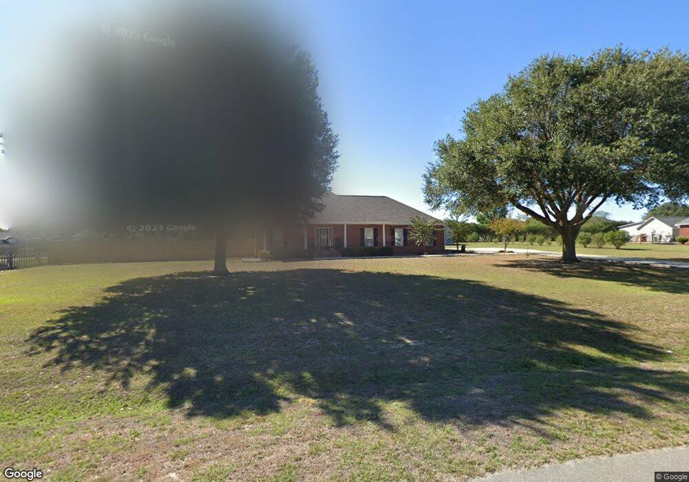
5600 Remington Rd Moss Point, MS 39562
Estimated Value: $286,510 - $337,000
3
Beds
2
Baths
2,024
Sq Ft
$159/Sq Ft
Est. Value
About This Home
This home is located at 5600 Remington Rd, Moss Point, MS 39562 and is currently estimated at $320,878, approximately $158 per square foot. 5600 Remington Rd is a home located in Jackson County with nearby schools including East Central Lower Elementary School, East Central Upper Elementary School, and East Central Middle School.
Ownership History
Date
Name
Owned For
Owner Type
Purchase Details
Closed on
Apr 25, 2014
Sold by
Russ Michael Russ Michael and Fields Monica Renee
Bought by
Williams Jacob Bryant and Williams Saranya
Current Estimated Value
Home Financials for this Owner
Home Financials are based on the most recent Mortgage that was taken out on this home.
Original Mortgage
$140,000
Outstanding Balance
$105,542
Interest Rate
4.43%
Mortgage Type
Purchase Money Mortgage
Estimated Equity
$215,336
Purchase Details
Closed on
Mar 19, 2010
Sold by
Blank Lloyd and Blank Loyd
Bought by
Fields Russ Michael and Fields Monica Renee
Home Financials for this Owner
Home Financials are based on the most recent Mortgage that was taken out on this home.
Original Mortgage
$165,600
Interest Rate
4.91%
Mortgage Type
Purchase Money Mortgage
Create a Home Valuation Report for This Property
The Home Valuation Report is an in-depth analysis detailing your home's value as well as a comparison with similar homes in the area
Purchase History
| Date | Buyer | Sale Price | Title Company |
|---|---|---|---|
| Williams Jacob Bryant | -- | -- | |
| Fields Russ Michael | -- | -- |
Source: Public Records
Mortgage History
| Date | Status | Borrower | Loan Amount |
|---|---|---|---|
| Open | Williams Jacob Bryant | $140,000 | |
| Previous Owner | Fields Russ Michael | $165,600 |
Source: Public Records
Tax History
| Year | Tax Paid | Tax Assessment Tax Assessment Total Assessment is a certain percentage of the fair market value that is determined by local assessors to be the total taxable value of land and additions on the property. | Land | Improvement |
|---|---|---|---|---|
| 2025 | $1,921 | $18,693 | $1,934 | $16,759 |
| 2024 | $1,921 | $17,447 | $1,882 | $15,565 |
| 2023 | $1,794 | $17,447 | $1,882 | $15,565 |
| 2022 | $1,735 | $17,447 | $1,882 | $15,565 |
| 2021 | $1,659 | $16,803 | $1,882 | $14,921 |
| 2020 | $1,619 | $15,885 | $1,742 | $14,143 |
| 2019 | $1,598 | $15,885 | $1,742 | $14,143 |
| 2018 | $1,635 | $15,885 | $1,742 | $14,143 |
| 2017 | $1,662 | $15,841 | $1,742 | $14,099 |
| 2016 | $1,585 | $15,841 | $1,742 | $14,099 |
| 2015 | $1,461 | $147,230 | $17,420 | $129,810 |
| 2014 | $1,480 | $15,154 | $1,742 | $13,412 |
| 2013 | $1,421 | $15,154 | $1,742 | $13,412 |
Source: Public Records
Map
Nearby Homes
- 5402 Huckleberry Ln
- 6200 Hurley Wade Rd
- Tbd Hurley Wade Rd
- 21217 E Trails End Rd
- 0 Mississippi 614
- 0000 Mississippi 614
- 5901 Lum Reeves Rd
- 24040 Robert e Lee Rd
- 23117 Hinton Rd
- 8012 Coleman Homestead Rd
- 125 Mulberry Dr
- 24023 Robert e Lee Rd
- 0 Ramie Farm Rd
- 24900 Highway 613
- 7015 Whites Farm Rd
- 7005 Whites Farm Rd
- 24997 Eastwood Ln
- 19500 Angel Ln
- 0 Hwy 613 Unit 4108899
- 2538 Timber Ln
- 5604 Remington Rd
- 5508 Remington Rd
- 5016 Remington Rd
- 5100 Remington Rd
- 5509 Remington Rd
- 5002 Remington Rd
- 5601 Remington Rd
- 5104 Remington Rd
- 5504 Remington Rd
- 5605 Remington Rd
- 4997 Remington Rd
- 5108 Remington Rd
- 5503 Remington Rd
- 5001 Remington Rd
- 5500 Remington Rd
- 5701 Remington Rd
- 5013 Remington Rd
- 5005 Remington Rd
- 5105 Remington Rd
- 5021 Remington Rd
Your Personal Tour Guide
Ask me questions while you tour the home.