5601 Powercat Place Manhattan, KS 66503
Estimated Value: $767,000 - $1,426,731
6
Beds
7
Baths
5,344
Sq Ft
$196/Sq Ft
Est. Value
About This Home
This home is located at 5601 Powercat Place, Manhattan, KS 66503 and is currently estimated at $1,045,433, approximately $195 per square foot. 5601 Powercat Place is a home located in Riley County with nearby schools including Ogden Elementary School, Susan B. Anthony Middle School, and Manhattan High School.
Ownership History
Date
Name
Owned For
Owner Type
Purchase Details
Closed on
Feb 1, 2021
Sold by
Cedar Ridge Trust
Bought by
Priddle Steven A and Priddle Angela L
Current Estimated Value
Home Financials for this Owner
Home Financials are based on the most recent Mortgage that was taken out on this home.
Original Mortgage
$510,400
Outstanding Balance
$374,954
Interest Rate
2.6%
Mortgage Type
New Conventional
Estimated Equity
$670,479
Create a Home Valuation Report for This Property
The Home Valuation Report is an in-depth analysis detailing your home's value as well as a comparison with similar homes in the area
Home Values in the Area
Average Home Value in this Area
Purchase History
| Date | Buyer | Sale Price | Title Company |
|---|---|---|---|
| Priddle Steven A | -- | -- |
Source: Public Records
Mortgage History
| Date | Status | Borrower | Loan Amount |
|---|---|---|---|
| Open | Priddle Steven A | $510,400 | |
| Closed | Priddle Steven A | $510,400 |
Source: Public Records
Tax History Compared to Growth
Tax History
| Year | Tax Paid | Tax Assessment Tax Assessment Total Assessment is a certain percentage of the fair market value that is determined by local assessors to be the total taxable value of land and additions on the property. | Land | Improvement |
|---|---|---|---|---|
| 2025 | $14,484 | $146,290 | $10,020 | $136,270 |
| 2024 | $14,484 | $131,531 | $8,398 | $123,133 |
| 2023 | $14,174 | $125,697 | $20,064 | $105,633 |
| 2022 | $12,666 | $109,385 | $14,381 | $95,004 |
| 2021 | $12,044 | $103,512 | $14,381 | $89,131 |
| 2020 | $12,110 | $102,914 | $14,381 | $88,533 |
| 2019 | $12,044 | $102,914 | $14,381 | $88,533 |
| 2018 | $11,340 | $103,102 | $14,369 | $88,733 |
| 2017 | $10,893 | $102,511 | $14,369 | $88,142 |
| 2016 | $11,109 | $105,487 | $13,978 | $91,509 |
| 2014 | -- | $0 | $0 | $0 |
Source: Public Records
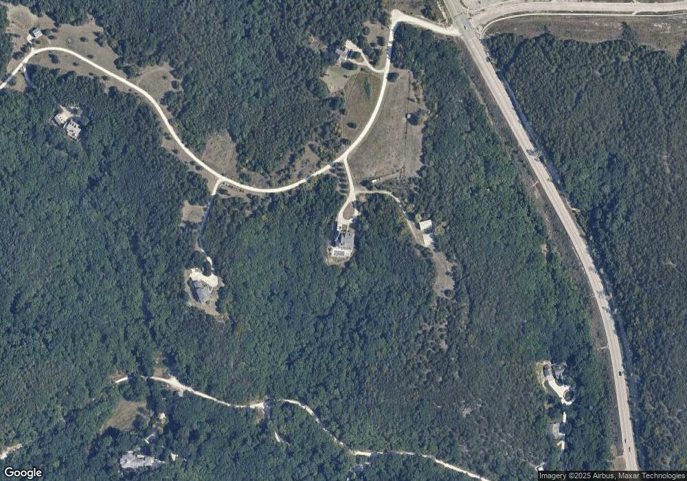
Map
Nearby Homes
- 630 S Scenic Dr
- 400 Ledgestone Ridge Ct
- 320 Ledgestone Ridge Ct
- 316 Ledgestone Ridge Ct
- 312 Ledgestone Ridge Ct
- 308 Ledgestone Ridge Ct
- 1044 Highland Ridge Dr
- 5100 Shadowridge Dr
- 4713 Lichen Ln
- 4922 Shadowridge Dr
- 4708 Miller Pkwy
- 4705 Lamonte Dr
- 300 Highland Ridge Dr
- 5007 Bramblewood Dr
- 809 Highland Ridge Dr
- 605 Harland Dr
- 614 Highland Ridge Dr
- 1116 E Park Grove Dr
- 1109 S Mill Point Cir
- 420 Rosewalk Place
- 5603 Powercat Place
- 5600 Powercat Place
- 620 S Scenic Dr
- 5605 Powercat Place
- 610 S Scenic Dr
- 405 Ledge Stone Dr
- 0 Ledge Stone Dr
- 512 Ledgestone Ridge Ct
- 600 S Scenic Dr
- 500 Ledgestone Ridge Dr
- 513 Ledgestone Ridge Ct
- 640 S Scenic Dr
- 416 Ledgestone Ridge Ct
- 505 Ledgestone Ridge Ct
- 412 Ledgestone Ridge Ct
- 601 S Scenic Dr
- 501 Ledgestone Ridge Ct
- 408 Ledgestone Ridge Cir
- 417 Ledgestone Ridge Ct
- 413 Ledgestone Ridge Ct