56021 Hazen Rd Warren, OR 97053
Estimated Value: $901,204 - $1,036,000
--
Bed
--
Bath
2,256
Sq Ft
$429/Sq Ft
Est. Value
About This Home
This home is located at 56021 Hazen Rd, Warren, OR 97053 and is currently estimated at $968,602, approximately $429 per square foot. 56021 Hazen Rd is a home with nearby schools including Scappoose High School, South Columbia Family School, and Scappoose Adventist School.
Ownership History
Date
Name
Owned For
Owner Type
Purchase Details
Closed on
Dec 29, 2017
Sold by
Circle M Land & Livestock Llc
Bought by
Urwin Keith L and Urwin Jamie R
Current Estimated Value
Home Financials for this Owner
Home Financials are based on the most recent Mortgage that was taken out on this home.
Original Mortgage
$648,000
Outstanding Balance
$559,246
Interest Rate
4.62%
Mortgage Type
Construction
Estimated Equity
$409,356
Create a Home Valuation Report for This Property
The Home Valuation Report is an in-depth analysis detailing your home's value as well as a comparison with similar homes in the area
Home Values in the Area
Average Home Value in this Area
Purchase History
| Date | Buyer | Sale Price | Title Company |
|---|---|---|---|
| Urwin Keith L | $259,900 | None Available |
Source: Public Records
Mortgage History
| Date | Status | Borrower | Loan Amount |
|---|---|---|---|
| Open | Urwin Keith L | $648,000 |
Source: Public Records
Tax History Compared to Growth
Tax History
| Year | Tax Paid | Tax Assessment Tax Assessment Total Assessment is a certain percentage of the fair market value that is determined by local assessors to be the total taxable value of land and additions on the property. | Land | Improvement |
|---|---|---|---|---|
| 2025 | $6,370 | $489,497 | $79,907 | $409,590 |
| 2024 | $6,186 | $475,249 | $77,579 | $397,670 |
| 2023 | $6,163 | $461,411 | $81,361 | $380,050 |
| 2022 | $5,884 | $447,974 | $78,804 | $369,170 |
| 2021 | $5,719 | $434,928 | $65,758 | $369,170 |
| 2020 | $4,525 | $342,872 | $76,182 | $266,690 |
| 2019 | $5,177 | $332,888 | $81,398 | $251,490 |
| 2018 | $31 | $1,018 | $1,018 | $0 |
| 2017 | $5,431 | $987 | $987 | $0 |
Source: Public Records
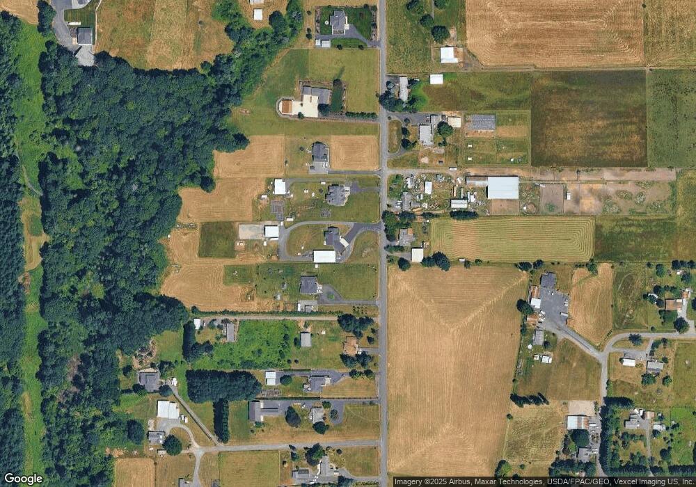
Map
Nearby Homes
- 32991 Rodney St
- 0 Parcel 1 Peter St St Unit 174014860
- 0 Peter St Unit 1S 480042051
- 33812 Berg Rd
- 0 Oester Rd
- 32650 Oester Rd
- 55051 Fullerton Rd
- 0 Wight Dr Unit Lot 3 675106164
- 34418 Berg Rd
- 34492 Berg Rd Unit 11
- 0 Viewcrest Dr Unit 24577481
- 54886 Fullerton Rd
- 34603 Church Rd
- 55496 Pioneer Rd
- 0 Bennett Rd
- 57827 S Bachelor Flat Rd
- 32005 Scappoose Vernonia Hwy
- 33336 Crown Point Dr
- 0 Reid Rd
- 31444 New Kirk Rd
- 0 Hazen Rd Unit 5 21641526
- 0 Hazen Rd Unit 21160419
- 0 Hazen Rd Unit 10061933
- 0 Hazen Rd Unit 11650734
- 0 Hazen Rd Unit 9061405
- 0 Hazen Rd Unit 9061404
- 0 Hazen Rd Unit 10008905
- 0 Hazen Rd Unit 11583970
- 0 Hazen Rd Unit 13188650
- 0 Hazen Rd Unit 14274298
- 0 Hazen Rd Unit 14153621
- 0 Hazen Rd Unit Lot 3 17571680
- 0 Hazen Rd Unit Lot 1 17291337
- 0 Hazen Rd Unit Lot 2 17015442
- 0 Hazen Rd
- 56039 Hazen Rd
- 56106 Hazen Rd
- 56126 Hazen Rd
- 56097 Hazen Rd
- 56024 Hazen Rd