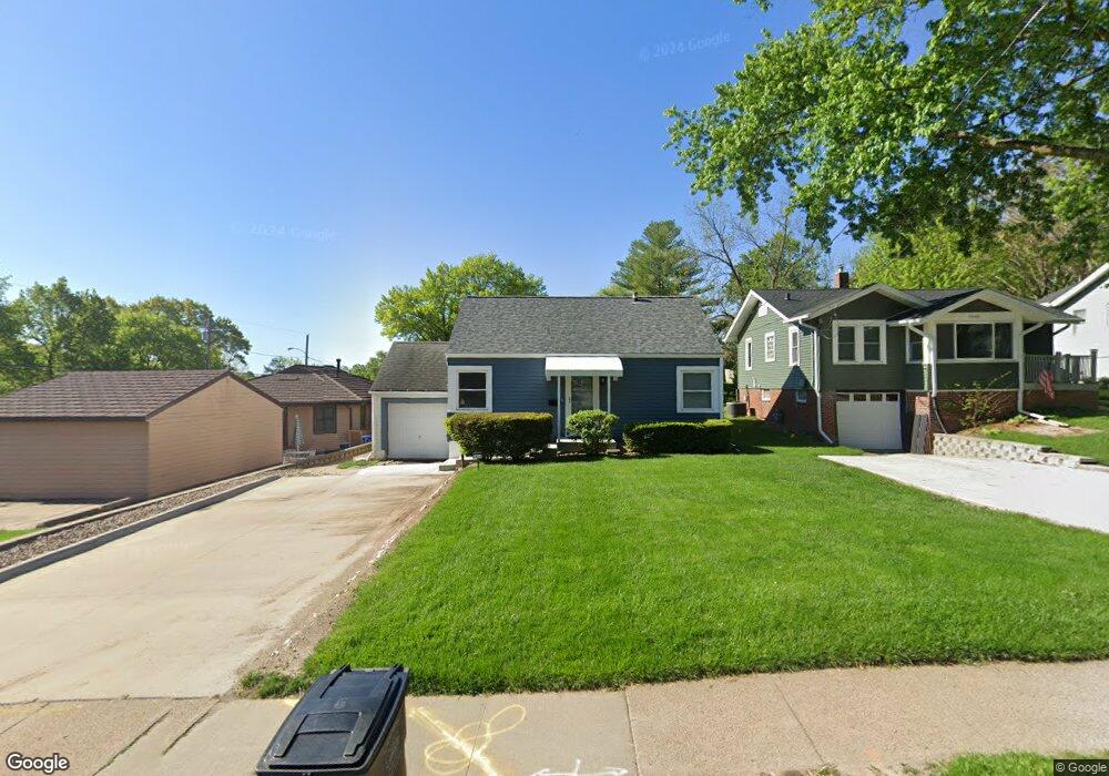
5604 University Ave Des Moines, IA 50311
Waveland Woods NeighborhoodEstimated Value: $185,000 - $194,100
2
Beds
1
Bath
885
Sq Ft
$213/Sq Ft
Est. Value
About This Home
This home is located at 5604 University Ave, Des Moines, IA 50311 and is currently estimated at $188,775, approximately $213 per square foot. 5604 University Ave is a home located in Polk County with nearby schools including Windsor Elementary School, Merrill Middle School, and Roosevelt High School.
Ownership History
Date
Name
Owned For
Owner Type
Purchase Details
Closed on
May 10, 1999
Sold by
Short Lisa and Short David
Bought by
Soraparu Elizabeth
Current Estimated Value
Home Financials for this Owner
Home Financials are based on the most recent Mortgage that was taken out on this home.
Original Mortgage
$66,125
Outstanding Balance
$16,577
Interest Rate
6.92%
Estimated Equity
$172,198
Create a Home Valuation Report for This Property
The Home Valuation Report is an in-depth analysis detailing your home's value as well as a comparison with similar homes in the area
Home Values in the Area
Average Home Value in this Area
Purchase History
| Date | Buyer | Sale Price | Title Company |
|---|---|---|---|
| Soraparu Elizabeth | $73,478 | -- |
Source: Public Records
Mortgage History
| Date | Status | Borrower | Loan Amount |
|---|---|---|---|
| Open | Soraparu Elizabeth | $66,125 |
Source: Public Records
Tax History Compared to Growth
Tax History
| Year | Tax Paid | Tax Assessment Tax Assessment Total Assessment is a certain percentage of the fair market value that is determined by local assessors to be the total taxable value of land and additions on the property. | Land | Improvement |
|---|---|---|---|---|
| 2025 | $2,942 | $177,900 | $41,700 | $136,200 |
| 2024 | $2,942 | $160,000 | $36,800 | $123,200 |
| 2023 | $2,934 | $160,000 | $36,800 | $123,200 |
| 2022 | $2,910 | $133,400 | $31,700 | $101,700 |
| 2021 | $2,898 | $133,400 | $31,700 | $101,700 |
| 2020 | $3,004 | $124,700 | $29,300 | $95,400 |
| 2019 | $2,802 | $124,700 | $29,300 | $95,400 |
| 2018 | $2,768 | $112,800 | $26,000 | $86,800 |
| 2017 | $2,472 | $112,800 | $26,000 | $86,800 |
| 2016 | $2,402 | $99,900 | $22,600 | $77,300 |
| 2015 | $2,402 | $99,900 | $22,600 | $77,300 |
| 2014 | $2,300 | $98,700 | $21,900 | $76,800 |
Source: Public Records
Map
Nearby Homes
- 1129 57th St
- 1215 Merle Hay Rd
- 1051 57th St
- 1344 57th St
- 1010 56th St
- 1304 60th St
- 5912 Rutland Dr
- 1441 56th St
- 1504 57th Place
- 1524 56th St
- 1539 56th St
- 4902 University Ave Unit 335
- 1236 63rd St
- 1129 64th St
- 1517 61st St
- 1705 56th St
- 6002 Rollins Ave
- 6423 Carpenter Ave
- 1310 47th St
- 1704 Merle Hay Rd
- 1160 56th St
- 5606 University Ave
- 5605 Brattleboro Ave
- 5609 Brattleboro Ave
- 5601 Brattleboro Ave
- 5612 University Ave
- 5611 Brattleboro Ave
- 5616 University Ave
- 5615 Brattleboro Ave
- 5519 University Ave
- 5515 University Ave
- 1208 56th St
- 5623 Brattleboro Ave
- 5511 University Ave
- 5620 University Ave
- 5620 University Ave
- 5611 University Ave
- 5505 University Ave
- 5625 Brattleboro Ave
- 5609 University Ave