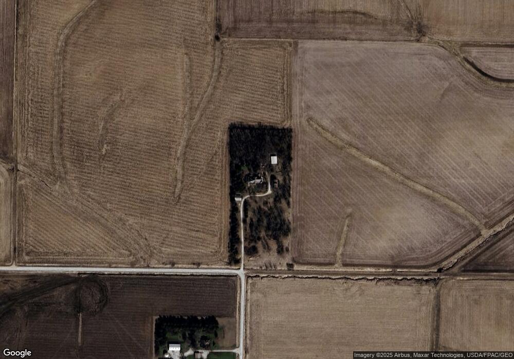
5606 560th St SE Lone Tree, IA 52755
Estimated Value: $199,000 - $487,121
5
Beds
4
Baths
3,079
Sq Ft
$112/Sq Ft
Est. Value
About This Home
This home is located at 5606 560th St SE, Lone Tree, IA 52755 and is currently estimated at $345,040, approximately $112 per square foot. 5606 560th St SE is a home located in Johnson County with nearby schools including Lone Tree Elementary School and Lone Tree Junior/Senior High School.
Create a Home Valuation Report for This Property
The Home Valuation Report is an in-depth analysis detailing your home's value as well as a comparison with similar homes in the area
Home Values in the Area
Average Home Value in this Area
Tax History Compared to Growth
Tax History
| Year | Tax Paid | Tax Assessment Tax Assessment Total Assessment is a certain percentage of the fair market value that is determined by local assessors to be the total taxable value of land and additions on the property. | Land | Improvement |
|---|---|---|---|---|
| 2025 | -- | $372,300 | $104,200 | $268,100 |
| 2024 | -- | $365,300 | $104,200 | $261,100 |
| 2023 | -- | $365,300 | $104,200 | $261,100 |
| 2022 | $0 | $303,400 | $89,800 | $213,600 |
| 2021 | $0 | $303,400 | $89,800 | $213,600 |
| 2020 | $3,841 | $280,000 | $89,800 | $190,200 |
| 2019 | $3,841 | $280,000 | $89,800 | $190,200 |
| 2018 | $0 | $270,800 | $89,800 | $181,000 |
| 2017 | $0 | $270,800 | $89,800 | $181,000 |
| 2016 | $3,386 | $259,900 | $89,800 | $170,100 |
| 2015 | $3,386 | $259,900 | $89,800 | $170,100 |
| 2014 | $3,282 | $248,500 | $74,000 | $174,500 |
Source: Public Records
Map
Nearby Homes
- 745 N Perkins St
- 407 E Elm St
- 201 N Devoe St
- 219 Taylor Dr
- 221 W Commercial St
- 1118 120th St
- 500 S Center St
- 0 520th St SE
- 203 W Dougherty Dr
- 106 Dorothy Ln
- 1210 Davis Ave
- 1437 Terrace Ln
- 1443 Bunker Dr
- 1290 Elder Ridge Rd
- 1444 121st St
- 0 Lot 1 Unit Country Vista - Down
- 5888 Sand Rd SE
- 0 Adams St & Front St
- 0000 TBD E A St
- 209 N Miller St