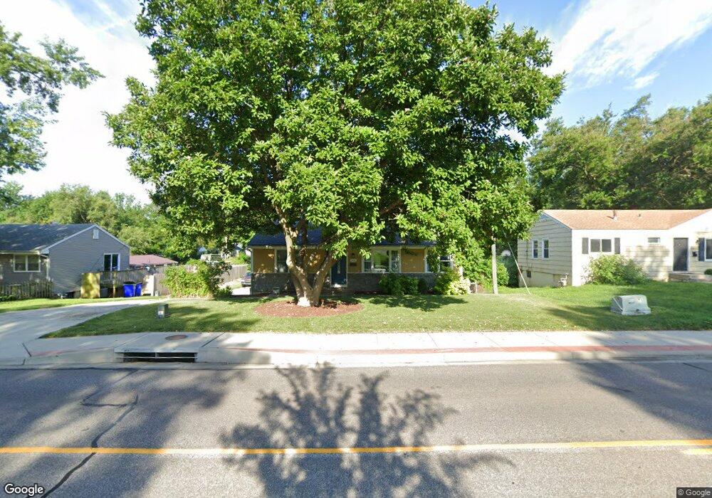
5606 Nieman Rd Shawnee, KS 66203
Estimated Value: $270,000 - $311,000
3
Beds
2
Baths
1,230
Sq Ft
$242/Sq Ft
Est. Value
About This Home
This home is located at 5606 Nieman Rd, Shawnee, KS 66203 and is currently estimated at $298,057, approximately $242 per square foot. 5606 Nieman Rd is a home located in Johnson County with nearby schools including Bluejacket / Flint Elementary, Hocker Grove Middle School, and Shawnee Mission North High School.
Ownership History
Date
Name
Owned For
Owner Type
Purchase Details
Closed on
Feb 24, 2004
Sold by
Souder Amanda G and Souder Matthew C
Bought by
Souder Matthew C and Souder Amanda G
Current Estimated Value
Home Financials for this Owner
Home Financials are based on the most recent Mortgage that was taken out on this home.
Original Mortgage
$91,200
Interest Rate
5.02%
Mortgage Type
New Conventional
Purchase Details
Closed on
Jul 21, 2001
Sold by
Otoya Jose A
Bought by
Otoya Amanda and Plummer Amanda
Create a Home Valuation Report for This Property
The Home Valuation Report is an in-depth analysis detailing your home's value as well as a comparison with similar homes in the area
Home Values in the Area
Average Home Value in this Area
Purchase History
| Date | Buyer | Sale Price | Title Company |
|---|---|---|---|
| Souder Matthew C | -- | Columbian Title Of Johnson C | |
| Otoya Amanda | -- | -- |
Source: Public Records
Mortgage History
| Date | Status | Borrower | Loan Amount |
|---|---|---|---|
| Closed | Souder Matthew C | $91,200 |
Source: Public Records
Tax History Compared to Growth
Tax History
| Year | Tax Paid | Tax Assessment Tax Assessment Total Assessment is a certain percentage of the fair market value that is determined by local assessors to be the total taxable value of land and additions on the property. | Land | Improvement |
|---|---|---|---|---|
| 2024 | $2,878 | $27,497 | $5,549 | $21,948 |
| 2023 | $3,014 | $28,175 | $5,549 | $22,626 |
| 2022 | $2,647 | $24,656 | $5,036 | $19,620 |
| 2021 | $2,529 | $21,988 | $4,376 | $17,612 |
| 2020 | $2,305 | $19,757 | $3,984 | $15,773 |
| 2019 | $2,145 | $18,366 | $3,324 | $15,042 |
| 2018 | $1,980 | $16,871 | $3,005 | $13,866 |
| 2017 | $1,978 | $16,595 | $3,005 | $13,590 |
| 2016 | $1,813 | $14,996 | $3,005 | $11,991 |
| 2015 | $1,648 | $14,272 | $3,005 | $11,267 |
| 2013 | -- | $14,203 | $3,005 | $11,198 |
Source: Public Records
Map
Nearby Homes
- 11002 W 55th Terrace
- Ashwood Plan at Bristol Highlands - North
- The Fleetwood Plan at Bristol Highlands - The Villas
- Cypress II Plan at Bristol Highlands - North
- The Fleetwood Plan at Bristol Highlands - The Manors
- The Brentwood Plan at Bristol Highlands - The Villas
- Yorkshire V Plan at Bristol Highlands - North
- The Kirkwood Plan at Bristol Highlands - The Villas
- 8013 Payne St
- The Rockwood Plan at Bristol Highlands - The Villas
- Magnolia Plan at Bristol Highlands - North
- 5308 Mcanany Dr
- 11815 W 53rd St
- 11403 W 51st Terrace
- 5407 Halsey St
- 10103 Johnson Dr
- 5504 Monrovia St
- 10116 W 52nd Terrace
- 12508 W 56th St
- 5845 Caenen St
- 5602 Nieman Rd
- 5612 Nieman Rd
- 5548 Nieman Rd
- 5620 Nieman Rd
- 11012 W 56th Terrace
- 11014 W 56th Terrace
- 5545 Nieman Rd
- 5542 Nieman Rd
- 5626 Nieman Rd
- 5536 Nieman Rd
- 5615 Barton Ln
- 5621 Barton Ln
- 5545 Barton Ln
- 11006 W 56th Terrace
- 5601 Barton Ln
- 5607 Barton Ln
- 5537 Nieman Rd
- 5611 Nieman Rd
- 5631 Barton Ln
- 5539 Barton Ln