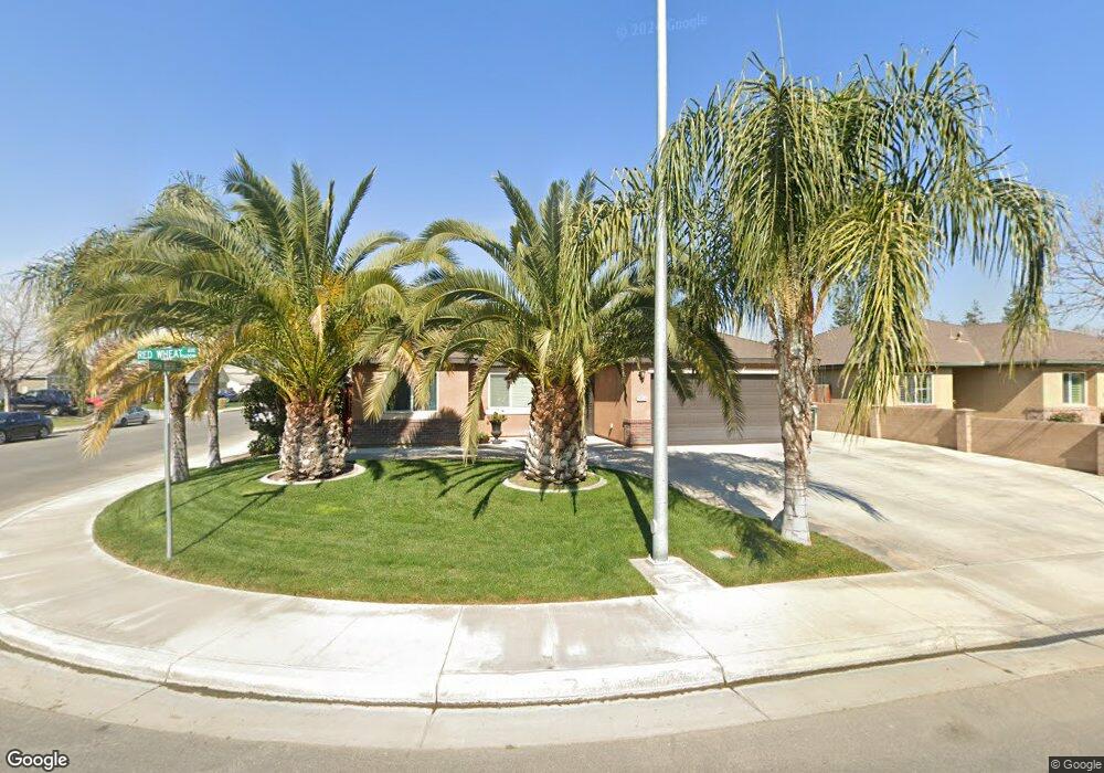
5606 Red Wheat Ave Bakersfield, CA 93313
Panama NeighborhoodEstimated Value: $379,675 - $396,000
4
Beds
2
Baths
1,400
Sq Ft
$278/Sq Ft
Est. Value
About This Home
This home is located at 5606 Red Wheat Ave, Bakersfield, CA 93313 and is currently estimated at $388,669, approximately $277 per square foot. 5606 Red Wheat Ave is a home located in Kern County with nearby schools including Panama Elementary School, Stonecreek Junior High School, and Ridgeview High School.
Ownership History
Date
Name
Owned For
Owner Type
Purchase Details
Closed on
May 10, 2011
Sold by
Lennar Homes Of California Inc
Bought by
Palafox Velasco Carla Sindy and Velasco Maria
Current Estimated Value
Home Financials for this Owner
Home Financials are based on the most recent Mortgage that was taken out on this home.
Original Mortgage
$166,665
Outstanding Balance
$103,829
Interest Rate
2.75%
Mortgage Type
FHA
Estimated Equity
$284,840
Create a Home Valuation Report for This Property
The Home Valuation Report is an in-depth analysis detailing your home's value as well as a comparison with similar homes in the area
Home Values in the Area
Average Home Value in this Area
Purchase History
| Date | Buyer | Sale Price | Title Company |
|---|---|---|---|
| Palafox Velasco Carla Sindy | $171,000 | North American Title Company |
Source: Public Records
Mortgage History
| Date | Status | Borrower | Loan Amount |
|---|---|---|---|
| Open | Palafox Velasco Carla Sindy | $166,665 |
Source: Public Records
Tax History Compared to Growth
Tax History
| Year | Tax Paid | Tax Assessment Tax Assessment Total Assessment is a certain percentage of the fair market value that is determined by local assessors to be the total taxable value of land and additions on the property. | Land | Improvement |
|---|---|---|---|---|
| 2025 | $3,696 | $219,067 | $51,240 | $167,827 |
| 2024 | $3,623 | $214,773 | $50,236 | $164,537 |
| 2023 | $3,623 | $210,562 | $49,251 | $161,311 |
| 2022 | $3,485 | $206,435 | $48,286 | $158,149 |
| 2021 | $3,358 | $202,389 | $47,340 | $155,049 |
| 2020 | $3,290 | $200,315 | $46,855 | $153,460 |
| 2019 | $3,255 | $200,315 | $46,855 | $153,460 |
| 2018 | $3,137 | $192,538 | $45,037 | $147,501 |
| 2017 | $3,084 | $188,763 | $44,154 | $144,609 |
| 2016 | $2,930 | $185,063 | $43,289 | $141,774 |
| 2015 | $2,919 | $182,284 | $42,639 | $139,645 |
| 2014 | $2,867 | $178,714 | $41,804 | $136,910 |
Source: Public Records
Map
Nearby Homes
- 5407 Red Wheat Ave
- 9301 Cobble Mountain Rd
- 9003 Great Harvest Dr
- 5815 Pearl Ridge Dr
- 9623 Kanosh Cobble Dr
- 9402 Cobble Mountain Rd
- 6009 Moonstone Peak Dr
- 5103 Green Clover Ave
- 8505 Marble Ridge Way
- 6115 Cape Cod Ave
- 6201 Cape Cod Ave
- 6040 Samuelson St
- 5400 Saddleback Ridge Ct
- 6225 Thorton Ave
- 6310 Thorton Ave
- 5808 Esmerelda Ave
- 5518 Coburn Ridge Ct
- 6028 Bogart Dr
- 6021 Bogart Dr
- 5831 Mardal Ave
- 5602 Red Wheat Ave
- 5508 Red Wheat Ave
- 5609 Winter Barley Ct
- 9019 Duram Wheat Dr
- 5603 Red Wheat Ave
- 5607 Red Wheat Ave
- 5605 Winter Barley Ct
- 9015 Duram Wheat Dr
- 9023 Duram Wheat Dr
- 5504 Red Wheat Ave
- 5601 Winter Barley Ct
- 5611 Red Wheat Ave
- 9011 Duram Wheat Dr
- 5509 Red Wheat Ave
- 9027 Duram Wheat Dr
- 5515 Winter Barley Ct
- 9007 Duram Wheat Dr
- 5500 Red Wheat Ave
- 5501 Red Wheat Ave
- 5511 Winter Barley Ct