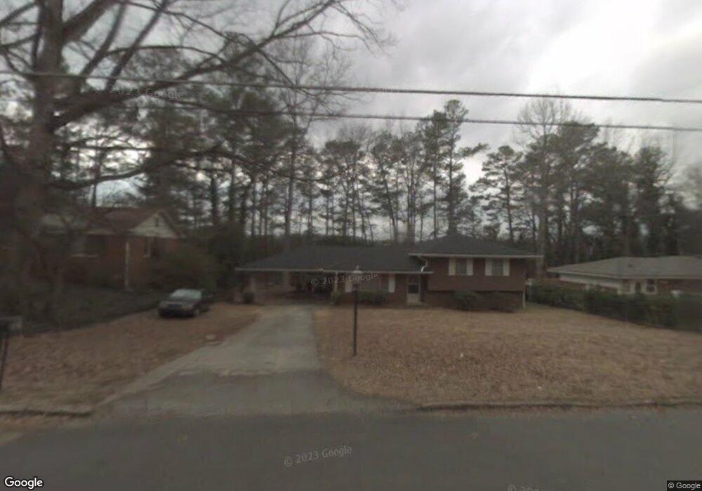
561 Collingwood Dr Decatur, GA 30032
Estimated Value: $260,180 - $329,000
3
Beds
3
Baths
2,063
Sq Ft
$149/Sq Ft
Est. Value
About This Home
This home is located at 561 Collingwood Dr, Decatur, GA 30032 and is currently estimated at $306,545, approximately $148 per square foot. 561 Collingwood Dr is a home located in DeKalb County with nearby schools including Dunaire Elementary School, Freedom Middle School, and Clarkston High School.
Ownership History
Date
Name
Owned For
Owner Type
Purchase Details
Closed on
Dec 2, 1998
Sold by
Altman Hugh A and Altman Virginia E
Bought by
Ivey Gail
Current Estimated Value
Home Financials for this Owner
Home Financials are based on the most recent Mortgage that was taken out on this home.
Original Mortgage
$93,950
Outstanding Balance
$20,832
Interest Rate
6.77%
Mortgage Type
New Conventional
Estimated Equity
$285,713
Create a Home Valuation Report for This Property
The Home Valuation Report is an in-depth analysis detailing your home's value as well as a comparison with similar homes in the area
Home Values in the Area
Average Home Value in this Area
Purchase History
| Date | Buyer | Sale Price | Title Company |
|---|---|---|---|
| Ivey Gail | $96,900 | -- |
Source: Public Records
Mortgage History
| Date | Status | Borrower | Loan Amount |
|---|---|---|---|
| Open | Ivey Gail | $93,950 |
Source: Public Records
Tax History Compared to Growth
Tax History
| Year | Tax Paid | Tax Assessment Tax Assessment Total Assessment is a certain percentage of the fair market value that is determined by local assessors to be the total taxable value of land and additions on the property. | Land | Improvement |
|---|---|---|---|---|
| 2025 | $853 | $94,600 | $15,000 | $79,600 |
| 2024 | $2,450 | $77,920 | $14,805 | $63,115 |
| 2023 | $2,450 | $77,920 | $14,805 | $63,115 |
| 2022 | $1,936 | $77,920 | $15,000 | $62,920 |
| 2021 | $1,936 | $58,840 | $12,560 | $46,280 |
| 2020 | $1,364 | $40,160 | $12,450 | $27,710 |
| 2019 | $1,351 | $40,160 | $12,450 | $27,710 |
| 2018 | $1,108 | $40,160 | $12,560 | $27,600 |
| 2017 | $1,352 | $39,000 | $12,480 | $26,520 |
| 2016 | $1,186 | $35,080 | $12,560 | $22,520 |
| 2014 | $1,003 | $29,720 | $12,800 | $16,920 |
Source: Public Records
Map
Nearby Homes
- 3801 Bretton Woods Rd
- 3838 Danbury Ln
- 518 Hammett Dr
- 521 S Indian Creek Dr
- 3907 Dunaire Dr
- 691 Heathmoor Place
- 3901 W Wood Path
- 3884 Wood Path Dr
- 3943 Dunaire Dr
- 3901 Wood Path Dr
- 3892 Springleaf Point
- 3880 Springleaf Ct
- 3728 Dial Dr
- 3959 Wood Path Dr
- 3909 S Creek Ct
- 450 S Susan Creek Dr
- 786 Brookside Parc Ln
- 798 Durham Trail
- 553 Collingwood Dr
- 565 Collingwood Dr
- 575 Collingwood Dr
- 0 Collingwood Dr Unit 7426071
- 0 Collingwood Dr Unit 8799510
- 0 Collingwood Dr Unit 8663857
- 0 Collingwood Dr Unit 8652656
- 0 Collingwood Dr Unit 8579688
- 0 Collingwood Dr Unit 8548478
- 0 Collingwood Dr Unit 8450975
- 0 Collingwood Dr Unit 8200198
- 0 Collingwood Dr Unit 8019517
- 0 Collingwood Dr Unit 3151548
- 0 Collingwood Dr Unit 8479521
- 0 Collingwood Dr Unit 7101991
- 0 Collingwood Dr Unit 8746292
- 0 Collingwood Dr Unit 3119270
- 562 Collingwood Dr
- 568 Collingwood Dr
- 554 Collingwood Dr