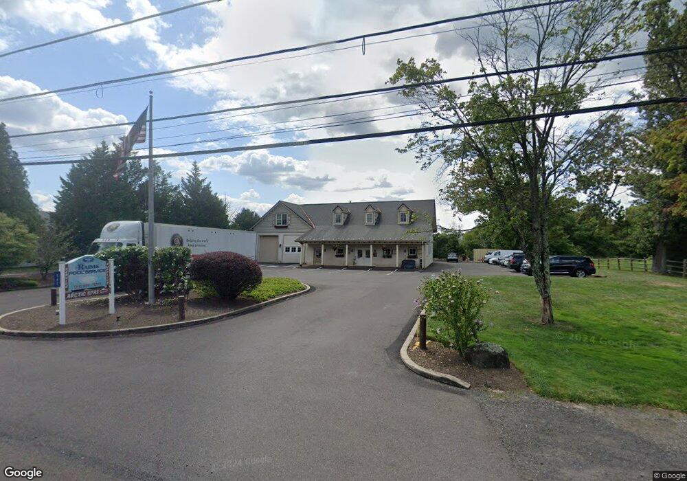
561 Durham Rd Unit UPPER Newtown, PA 18940
Estimated Value: $1,219,828
2
Beds
1
Bath
1,980
Sq Ft
$616/Sq Ft
Est. Value
About This Home
This home is located at 561 Durham Rd Unit UPPER, Newtown, PA 18940 and is currently estimated at $1,219,828, approximately $616 per square foot. 561 Durham Rd Unit UPPER is a home located in Bucks County with nearby schools including Wrightstown Elementary School, Newtown Middle School, and Council Rock High School North.
Ownership History
Date
Name
Owned For
Owner Type
Purchase Details
Closed on
Aug 5, 2014
Sold by
Twining Enterprises
Bought by
Raines Red Estate Holdings Llc
Current Estimated Value
Home Financials for this Owner
Home Financials are based on the most recent Mortgage that was taken out on this home.
Original Mortgage
$612,000
Interest Rate
4.18%
Mortgage Type
Purchase Money Mortgage
Purchase Details
Closed on
Sep 25, 2000
Sold by
Brunell Christina M
Bought by
Twining Enterprises
Home Financials for this Owner
Home Financials are based on the most recent Mortgage that was taken out on this home.
Original Mortgage
$182,000
Interest Rate
7.94%
Mortgage Type
Commercial
Create a Home Valuation Report for This Property
The Home Valuation Report is an in-depth analysis detailing your home's value as well as a comparison with similar homes in the area
Home Values in the Area
Average Home Value in this Area
Purchase History
| Date | Buyer | Sale Price | Title Company |
|---|---|---|---|
| Raines Red Estate Holdings Llc | $680,000 | None Available | |
| Twining Enterprises | $260,000 | -- |
Source: Public Records
Mortgage History
| Date | Status | Borrower | Loan Amount |
|---|---|---|---|
| Closed | Raines Red Estate Holdings Llc | $612,000 | |
| Previous Owner | Twining Enterprises | $182,000 |
Source: Public Records
Tax History Compared to Growth
Tax History
| Year | Tax Paid | Tax Assessment Tax Assessment Total Assessment is a certain percentage of the fair market value that is determined by local assessors to be the total taxable value of land and additions on the property. | Land | Improvement |
|---|---|---|---|---|
| 2025 | $7,976 | $45,160 | $11,400 | $33,760 |
| 2024 | $7,976 | $45,160 | $11,400 | $33,760 |
| 2023 | $7,639 | $45,160 | $11,400 | $33,760 |
| 2022 | $7,564 | $45,160 | $11,400 | $33,760 |
| 2021 | $7,447 | $45,160 | $11,400 | $33,760 |
| 2020 | $7,270 | $45,160 | $11,400 | $33,760 |
| 2019 | $1,521 | $45,160 | $11,400 | $33,760 |
| 2018 | $6,972 | $45,160 | $11,400 | $33,760 |
| 2017 | $6,697 | $45,160 | $11,400 | $33,760 |
| 2016 | $6,697 | $45,160 | $11,400 | $33,760 |
| 2015 | -- | $45,160 | $11,400 | $33,760 |
| 2014 | -- | $45,160 | $11,400 | $33,760 |
Source: Public Records
Map
Nearby Homes
- 632 Durham Rd
- 288 Jane Chapman Dr E Unit E
- 40 Hallowell Dr
- 309 Matthews Ln
- 313 Matthews Ln
- 2535 Second Street Pike
- 10 Providence Ct
- 0 Augusta Dr Unit LANEY
- 0 Augusta Dr Unit RAINTREE
- 0 Augusta Dr Unit KINGSWOOD
- 0 Augusta Dr Unit MAYWEATHER
- 0 Augusta Dr Unit ROLLINS
- 0 Augusta Dr Unit CLOVERFIELD
- Rollins Plan at Lyondale Meadows
- Laney Plan at Lyondale Meadows
- Kingswood Plan at Lyondale Meadows
- Raintree Plan at Lyondale Meadows
- Mayweather Plan at Lyondale Meadows
- Cloverfield Plan at Lyondale Meadows
- 101 Laurel Cir
- 557 Durham Rd Unit C
- 557 Durham Rd
- 529 Penns Park Rd
- 545 Penns Park Rd
- 554 Penns Park Rd
- 538 Durham Rd Unit B1
- 538 Durham Rd Unit A2
- 538 Durham Rd
- 538 Durham Rd Unit D
- 538 Durham Rd Unit B
- 2 Brownsburg Rd
- 16 Brownsburg Rd
- 3 Brownsburg Rd
- 4 Brownsburg Rd
- 532 Durham Rd Unit S-100
- 532 Durham Rd Unit 100A
- 532 Durham Rd
- 532 Durham Rd Unit 200
- 583 Penns Park Rd
- 608 Durham Rd