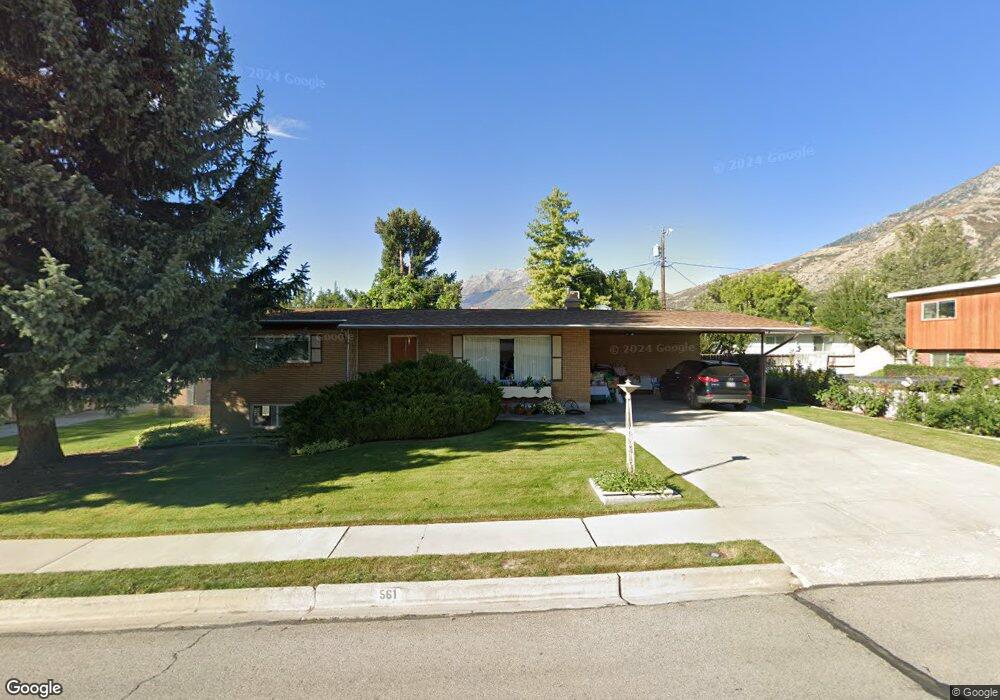
561 E 2825 N Provo, UT 84604
Rock Canyon NeighborhoodEstimated Value: $524,831 - $548,000
3
Beds
2
Baths
2,398
Sq Ft
$224/Sq Ft
Est. Value
About This Home
This home is located at 561 E 2825 N, Provo, UT 84604 and is currently estimated at $537,958, approximately $224 per square foot. 561 E 2825 N is a home located in Utah County with nearby schools including Rock Canyon Elementary School, Centennial Middle School, and Timpview High School.
Ownership History
Date
Name
Owned For
Owner Type
Purchase Details
Closed on
May 22, 2025
Sold by
Smead Robert N and Smead Gloria M
Bought by
Smead Family Trust and Smead
Current Estimated Value
Purchase Details
Closed on
Aug 29, 1997
Sold by
Hansen Henry
Bought by
Smead Robert N and Smead Gloria M
Home Financials for this Owner
Home Financials are based on the most recent Mortgage that was taken out on this home.
Original Mortgage
$105,000
Interest Rate
7.43%
Create a Home Valuation Report for This Property
The Home Valuation Report is an in-depth analysis detailing your home's value as well as a comparison with similar homes in the area
Home Values in the Area
Average Home Value in this Area
Purchase History
| Date | Buyer | Sale Price | Title Company |
|---|---|---|---|
| Smead Family Trust | -- | None Listed On Document | |
| Smead Robert N | -- | Old Republic Title Co Of Uta |
Source: Public Records
Mortgage History
| Date | Status | Borrower | Loan Amount |
|---|---|---|---|
| Previous Owner | Smead Robert N | $105,000 | |
| Closed | Smead Robert N | $45,000 |
Source: Public Records
Tax History
| Year | Tax Paid | Tax Assessment Tax Assessment Total Assessment is a certain percentage of the fair market value that is determined by local assessors to be the total taxable value of land and additions on the property. | Land | Improvement |
|---|---|---|---|---|
| 2025 | $2,508 | $257,235 | -- | -- |
| 2024 | $2,508 | $246,895 | $0 | $0 |
| 2023 | $2,440 | $236,775 | $0 | $0 |
| 2022 | $2,469 | $241,560 | $0 | $0 |
| 2021 | $1,927 | $328,800 | $172,000 | $156,800 |
| 2020 | $1,856 | $297,000 | $143,300 | $153,700 |
| 2019 | $1,724 | $286,900 | $143,300 | $143,600 |
| 2018 | $1,526 | $257,500 | $132,600 | $124,900 |
| 2017 | $1,485 | $137,665 | $0 | $0 |
| 2016 | $1,376 | $118,910 | $0 | $0 |
| 2015 | $1,262 | $110,220 | $0 | $0 |
| 2014 | $1,102 | $100,320 | $0 | $0 |
Source: Public Records
Map
Nearby Homes
- 2774 N 370 E
- 758 E 3030 N
- 788 E 2680 N
- 3043 Bannock Dr
- 3025 N 250 E
- 3129 Cherokee Ln
- 2735 N Country Club Dr
- 3013 N 100 W
- 5600 N Canyon Rd
- 3057 N 100 W
- 240 E 2230 N Unit 7
- 3250 Mohawk Ln
- 2999 N Marrcrest West Dr
- 2939 N Marrcrest Dr W
- 3221 Shadowbrook Cir
- 3305 N Shadowbrook Cir
- 111 Candlewood Place
- 3240 Shadowbrook Dr
- 2091 N 220 E
- 186 E 2100 N
Your Personal Tour Guide
Ask me questions while you tour the home.