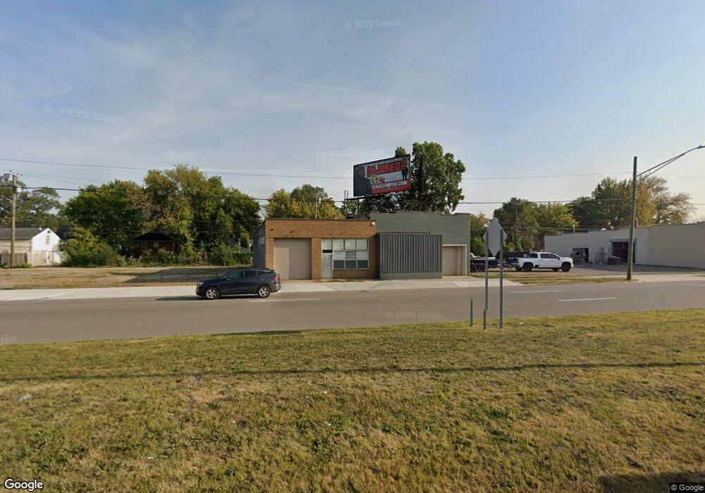
561 E 8 Mile Rd Ferndale, MI 48220
Estimated Value: $2,002,642
Studio
--
Bath
3,296
Sq Ft
$608/Sq Ft
Est. Value
About This Home
This home is located at 561 E 8 Mile Rd, Ferndale, MI 48220 and is currently estimated at $2,002,642, approximately $607 per square foot. 561 E 8 Mile Rd is a home located in Oakland County with nearby schools including Ferndale Lower Elementary Campus, Ferndale Upper Elementary Campus, and Ferndale Middle School.
Ownership History
Date
Name
Owned For
Owner Type
Purchase Details
Closed on
Mar 16, 2022
Sold by
Safiedine Inc
Bought by
Family Fuels Llc
Current Estimated Value
Purchase Details
Closed on
Jun 30, 2020
Sold by
Family Fuels Llc
Bought by
Lasa Llc
Purchase Details
Closed on
Jan 15, 2014
Sold by
Barrick Properties 40 Llc
Bought by
Family Fuels Llc
Purchase Details
Closed on
Jan 13, 2014
Sold by
Mtk Family Investments Llc
Bought by
Michigan Properties Llc
Purchase Details
Closed on
Jun 25, 2004
Sold by
Safiedine Kazem and Safiedine Jean
Bought by
Mtk Family Investments Llc
Create a Home Valuation Report for This Property
The Home Valuation Report is an in-depth analysis detailing your home's value as well as a comparison with similar homes in the area
Home Values in the Area
Average Home Value in this Area
Purchase History
| Date | Buyer | Sale Price | Title Company |
|---|---|---|---|
| Family Fuels Llc | -- | None Listed On Document | |
| Lasa Llc | $1,850,000 | None Listed On Document | |
| Lasa Llc | $1,850,000 | None Listed On Document | |
| Lasa Llc | -- | None Available | |
| Family Fuels Llc | $400,000 | Chirco Title | |
| Family Fuels Llc | $400,000 | Chirco Title | |
| Family Fuels Llc | -- | First American Title Ins Co | |
| Barrick Properties #40 Llc | -- | None Available | |
| Michigan Properties Llc | -- | None Available | |
| Michigan Properties Llc | -- | None Available | |
| Mtk Family Investments Llc | -- | -- |
Source: Public Records
Tax History
| Year | Tax Paid | Tax Assessment Tax Assessment Total Assessment is a certain percentage of the fair market value that is determined by local assessors to be the total taxable value of land and additions on the property. | Land | Improvement |
|---|---|---|---|---|
| 2025 | $44,518 | $659,980 | $0 | $0 |
| 2024 | $43,158 | $644,160 | $0 | $0 |
| 2023 | $42,968 | $630,910 | $0 | $0 |
| 2022 | $35,330 | $497,570 | $0 | $0 |
| 2021 | $36,546 | $486,400 | $0 | $0 |
| 2020 | $23,807 | $467,350 | $0 | $0 |
| 2019 | $23,994 | $433,070 | $0 | $0 |
| 2017 | $27,215 | $364,010 | $0 | $0 |
| 2015 | -- | $310,580 | $0 | $0 |
| 2014 | -- | $307,370 | $0 | $0 |
| 2011 | -- | $334,590 | $0 | $0 |
Source: Public Records
Map
Nearby Homes
- 384 E Chesterfield St
- 615 E Webster St
- 201 E Bennett Ave
- 440 Jewell St
- 441 Jewell St
- 202 W Bennett Ave
- 420 Silman St
- 2444 Woodstock Dr
- 231 W Bennett Ave
- 634 Channing St
- 306 Silman St
- 370 Channing St
- 2545 Woodstock Dr
- 2564 Woodstock Dr
- 2597 W 8 Mile Rd
- 1460 E Chesterfield St
- 211 Silman St
- 287 Fielding St
- 1449 Jewell St
- 293 Fielding St
- 561 E 8 Mile Rd
- 561 E Eight Mile Rd
- 521 E Bennett Ave
- 521 E Bennette St
- 503 E Bennette St
- 541 E Bennette St
- 561 E Bennett Ave
- 481 E Bennette St
- 581 E Bennett Ave
- 561 E Bennette St
- 581 E Bennette St
- 0 E Bennett St
- 601 E Bennett Ave
- 601 E Bennette St
- 520 E Chesterfield St
- 560 E Chesterfield St
- 502 E Chesterfield St
- 617 E Bennett Ave
- 530 E Chesterfield St
- 484 E Chesterfield St
Your Personal Tour Guide
Ask me questions while you tour the home.