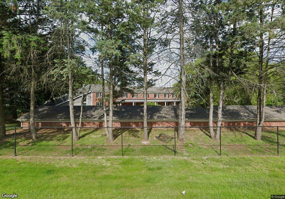
561 Garrison Rd Unit 11 Battle Creek, MI 49017
Estimated Value: $81,000 - $249,000
3
Beds
4
Baths
2,573
Sq Ft
$59/Sq Ft
Est. Value
About This Home
This home is located at 561 Garrison Rd Unit 11, Battle Creek, MI 49017 and is currently estimated at $152,333, approximately $59 per square foot. 561 Garrison Rd Unit 11 is a home located in Calhoun County with nearby schools including Pennfield Purdy School, Pennfield Dunlap Elementary School, and Pennfield Middle School.
Ownership History
Date
Name
Owned For
Owner Type
Purchase Details
Closed on
Oct 8, 2019
Sold by
Burbank Brenda
Bought by
Mcclellan Donald and Mcclellan Nancy
Current Estimated Value
Purchase Details
Closed on
Apr 8, 2014
Sold by
Roller Ronald
Bought by
Burbank Brenda
Purchase Details
Closed on
Jul 30, 2009
Sold by
Magiera Dawn M
Bought by
Federal Home Loan Mortgage Corp
Purchase Details
Closed on
Apr 20, 2007
Sold by
Mg Holdings Inc
Bought by
Magiera Dawn M
Home Financials for this Owner
Home Financials are based on the most recent Mortgage that was taken out on this home.
Original Mortgage
$124,800
Interest Rate
6.18%
Mortgage Type
Unknown
Create a Home Valuation Report for This Property
The Home Valuation Report is an in-depth analysis detailing your home's value as well as a comparison with similar homes in the area
Home Values in the Area
Average Home Value in this Area
Purchase History
| Date | Buyer | Sale Price | Title Company |
|---|---|---|---|
| Mcclellan Donald | $30,000 | None Available | |
| Burbank Brenda | -- | None Available | |
| Burbank Brenda | $19,000 | None Available | |
| Federal Home Loan Mortgage Corp | $130,202 | None Available | |
| Magiera Dawn M | $156,000 | Chicago Title Of Michigan |
Source: Public Records
Mortgage History
| Date | Status | Borrower | Loan Amount |
|---|---|---|---|
| Previous Owner | Magiera Dawn M | $124,800 |
Source: Public Records
Tax History Compared to Growth
Tax History
| Year | Tax Paid | Tax Assessment Tax Assessment Total Assessment is a certain percentage of the fair market value that is determined by local assessors to be the total taxable value of land and additions on the property. | Land | Improvement |
|---|---|---|---|---|
| 2025 | $3,687 | $0 | $0 | $0 |
| 2024 | $1,702 | $93,600 | $0 | $0 |
| 2023 | $3,223 | $78,840 | $0 | $0 |
| 2022 | $1,544 | $60,730 | $0 | $0 |
| 2021 | $3,210 | $52,070 | $0 | $0 |
| 2020 | $3,157 | $50,770 | $0 | $0 |
| 2019 | $521 | $44,850 | $0 | $0 |
| 2018 | $470 | $38,360 | $1,110 | $37,250 |
| 2017 | $0 | $36,800 | $0 | $0 |
| 2016 | $0 | $35,590 | $0 | $0 |
| 2015 | -- | $37,520 | $2,784 | $34,736 |
| 2014 | -- | $11,590 | $2,784 | $8,806 |
Source: Public Records
Map
Nearby Homes
- 561 Garrison Rd
- 52 Thorncroft Ave
- 274 Central St
- 110 Harriet Ln
- 0 Hopkins St
- 208 Glendale Ave
- V/L Parkview Ave
- 731 Roosevelt Ave E
- 202 Viking Dr
- 17 Gordon Blvd
- 276 Mckinley Ave N
- 21 Bradley St
- 11 Coolidge Ave W
- 31 Oxford St
- 125 Sunset Blvd W
- 0 Capital Ave NE
- 955 Capital Ave NE
- 6722 Morgan Rd E
- 261 Emmett St E
- 69 Coolidge Ave W
- 561 Garrison Rd Unit 1
- 561 Garrison Rd Unit 10
- 561 Garrison Rd Unit 9
- 561 Garrison Rd Unit 8
- 561 Garrison Rd Unit 7
- 563 Garrison Rd Unit 6
- 561 Garrison Rd Unit 5
- 561 Garrison Rd Unit 4
- 561 Garrison Rd Unit 3
- 561 Garrison Rd Unit 2
- 561 Garrison Rd Unit 1
- 563 Garrison Rd Unit 9
- 561 Garrison Rd Unit 1,2,4,8,10
- 561 Garrison Rd Unit 1,2,10
- 563 Garrison Rd Unit 10
- 563 Garrison Rd Unit 8
- 563 Garrison Rd Unit 4
- 563 Garrison Rd Unit 2
- 563 Garrison Rd Unit all
- 563 Garrison Rd Unit 7