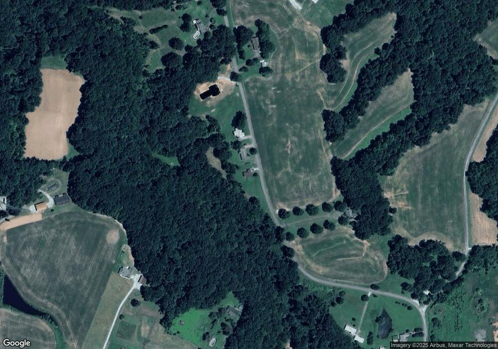
561 Independence Loop Lexington, TN 38351
Estimated Value: $193,352 - $206,000
--
Bed
2
Baths
1,200
Sq Ft
$168/Sq Ft
Est. Value
About This Home
This home is located at 561 Independence Loop, Lexington, TN 38351 and is currently estimated at $201,588, approximately $167 per square foot. 561 Independence Loop is a home located in Henderson County.
Ownership History
Date
Name
Owned For
Owner Type
Purchase Details
Closed on
Mar 18, 2025
Sold by
Wilson William Thomas
Bought by
Wilson William Thomas and Wilson Christy L
Current Estimated Value
Purchase Details
Closed on
Nov 27, 2024
Sold by
Cka Inc
Bought by
Wilson William Thomas
Home Financials for this Owner
Home Financials are based on the most recent Mortgage that was taken out on this home.
Original Mortgage
$6,790
Interest Rate
6.44%
Mortgage Type
New Conventional
Purchase Details
Closed on
Jan 31, 2003
Sold by
Eddie Dunavant
Bought by
Eddie Dunavant
Create a Home Valuation Report for This Property
The Home Valuation Report is an in-depth analysis detailing your home's value as well as a comparison with similar homes in the area
Home Values in the Area
Average Home Value in this Area
Purchase History
| Date | Buyer | Sale Price | Title Company |
|---|---|---|---|
| Wilson William Thomas | -- | None Listed On Document | |
| Wilson William Thomas | $194,000 | None Listed On Document | |
| Eddie Dunavant | -- | -- |
Source: Public Records
Mortgage History
| Date | Status | Borrower | Loan Amount |
|---|---|---|---|
| Previous Owner | Wilson William Thomas | $6,790 | |
| Previous Owner | Wilson William Thomas | $190,486 |
Source: Public Records
Tax History Compared to Growth
Tax History
| Year | Tax Paid | Tax Assessment Tax Assessment Total Assessment is a certain percentage of the fair market value that is determined by local assessors to be the total taxable value of land and additions on the property. | Land | Improvement |
|---|---|---|---|---|
| 2024 | $629 | $39,775 | $2,100 | $37,675 |
| 2023 | $629 | $39,775 | $2,100 | $37,675 |
| 2022 | $552 | $23,275 | $1,800 | $21,475 |
| 2021 | $552 | $23,275 | $1,800 | $21,475 |
| 2020 | $552 | $23,275 | $1,800 | $21,475 |
| 2019 | $552 | $23,275 | $1,800 | $21,475 |
| 2018 | $531 | $23,275 | $1,800 | $21,475 |
| 2017 | $531 | $23,275 | $1,800 | $21,475 |
| 2016 | $537 | $22,600 | $1,800 | $20,800 |
| 2015 | $537 | $22,600 | $1,800 | $20,800 |
| 2014 | $537 | $22,606 | $0 | $0 |
Source: Public Records
Map
Nearby Homes
- 1014 Crawford Springs Rd
- 0 End of 95 @ I-40
- 000 I-40 at Exit 93 E
- 0 Us-412 Hwy W
- 413 Law Ln
- 0 Lakewood Dr E
- 688 Spring Creek Law Rd
- 0 Liberty Claybrook Rd
- 00 Liberty Claybrook Rd
- 649 Spring Creek Law Rd
- 1840 Blue Goose Rd
- 00 Springbrook Dr
- 2710 Blue Goose Rd
- 2735 Blue Goose Rd
- 23 Springview Dr
- 000 Mt Gilead
- 151 Williams Ln
- 883 Crucifer Rd
- 0 Cotton Grove Rd
- 290 Westover Rd
- 575 Independence Loop
- 597 Independence Loop
- 480 Independence Loop
- 245 Us Highway 412 W
- 741 Independence Loop
- 700 Independence Loop
- 217 Independence Loop
- 280 Independence Loop
- 403 Highway 412 W
- 403 U S 412
- 235 Us Highway 412 W
- 85 Independence Loop
- 193 Independence Loop
- 199 Us Highway 412 W
- 412 U S 412
- 100 Independence Loop
- 207 Us Highway 412 W
- 1719 Us Highway 412 E
- 000 Independence Loop
- 210 Us Highway 412 W
