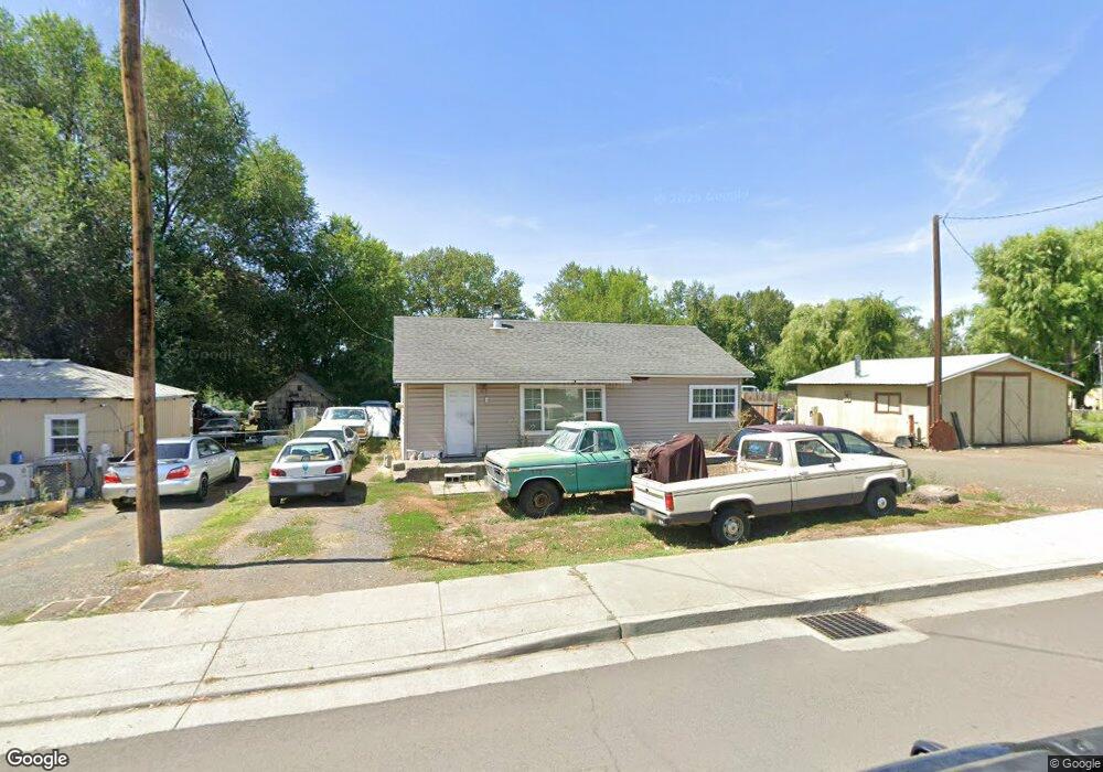
561 Ingle St Mount Vernon, OR 97865
Estimated Value: $154,000 - $220,000
--
Bed
--
Bath
864
Sq Ft
$206/Sq Ft
Est. Value
About This Home
This home is located at 561 Ingle St, Mount Vernon, OR 97865 and is currently estimated at $178,401, approximately $206 per square foot. 561 Ingle St is a home located in Grant County with nearby schools including Grant Union Junior/Senior High School.
Create a Home Valuation Report for This Property
The Home Valuation Report is an in-depth analysis detailing your home's value as well as a comparison with similar homes in the area
Home Values in the Area
Average Home Value in this Area
Tax History Compared to Growth
Tax History
| Year | Tax Paid | Tax Assessment Tax Assessment Total Assessment is a certain percentage of the fair market value that is determined by local assessors to be the total taxable value of land and additions on the property. | Land | Improvement |
|---|---|---|---|---|
| 2024 | $770 | $52,811 | $31,204 | $21,607 |
| 2023 | $746 | $51,273 | $30,288 | $20,985 |
| 2022 | $725 | $49,780 | $29,409 | $20,371 |
| 2021 | $706 | $48,331 | $28,553 | $19,778 |
| 2020 | $734 | $46,924 | $27,724 | $19,200 |
| 2019 | $707 | $45,558 | $15,310 | $30,248 |
| 2018 | $663 | $42,920 | $25,360 | $17,560 |
| 2017 | $642 | $41,290 | $23,340 | $17,950 |
| 2016 | $618 | $39,690 | $22,440 | $17,250 |
| 2015 | $730 | $44,232 | $14,862 | $29,370 |
| 2014 | $730 | $44,232 | $14,862 | $29,370 |
| 2013 | $688 | $42,944 | $14,432 | $28,512 |
Source: Public Records
Map
Nearby Homes
- 251 SE Council Dr
- 809 Ingle St
- 54797 U S Highway 26
- 210 Mountain Blvd
- 410 N Mountain Blvd
- 440 N Mountain Blvd
- 55550 McKern Ln
- 54797 U S 26
- 59720 Highway 26
- 58392 Antelope Ln
- 0 Hwy 395 Unit 220203788
- 0 Hwy 395 Unit 603386933
- 59920 Highway 26
- 59920 Hwy 26
- 31367 Clarks Creek Rd
- 27637 La Costa Rd
- 27637 La Costa Ave
- 59591 High Ridge Ln
- 0 E Side Ln Unit 201102803
- 0 County Rd 74b Unit 11554207