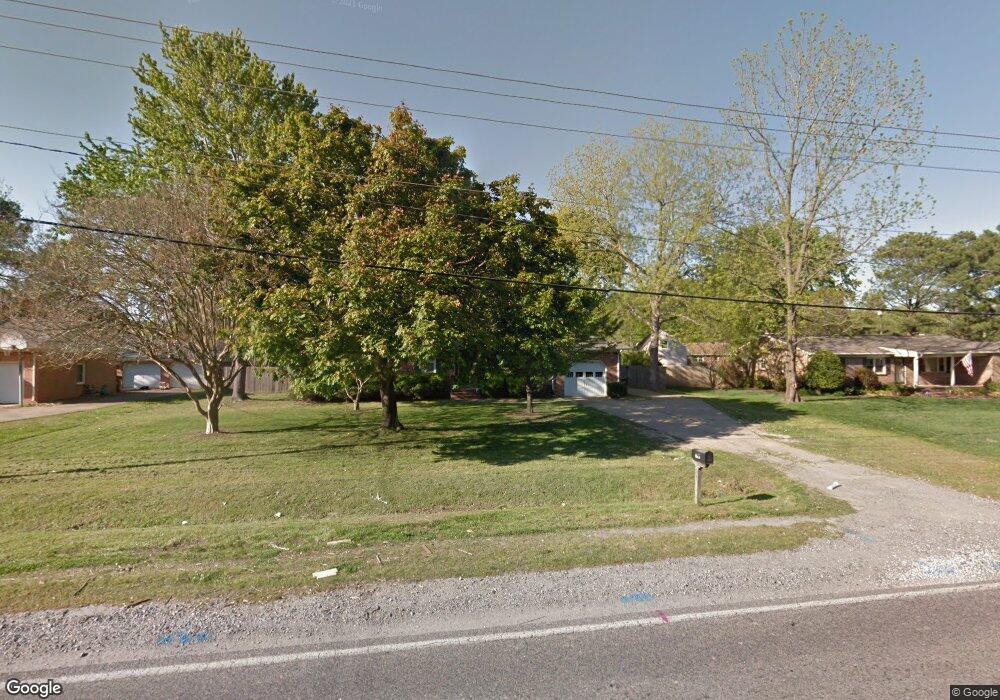
561 Mt Pleasant Rd Chesapeake, VA 23322
Pleasant Grove West NeighborhoodEstimated Value: $409,000 - $440,000
3
Beds
2
Baths
2,100
Sq Ft
$200/Sq Ft
Est. Value
About This Home
This home is located at 561 Mt Pleasant Rd, Chesapeake, VA 23322 and is currently estimated at $420,992, approximately $200 per square foot. 561 Mt Pleasant Rd is a home located in Chesapeake City with nearby schools including Butts Road Primary School, Butts Road Intermediate School, and Great Bridge Middle School.
Ownership History
Date
Name
Owned For
Owner Type
Purchase Details
Closed on
Mar 12, 2024
Sold by
Gaskins Melvin and Gaskins Karen
Bought by
561 Mount Pleasant Road Llc
Current Estimated Value
Purchase Details
Closed on
Feb 26, 2021
Sold by
Gaskins Melvin D and The Melvin D Gaskins Revocable
Bought by
Gaskins Melvin D and Gaskins Karen P
Home Financials for this Owner
Home Financials are based on the most recent Mortgage that was taken out on this home.
Original Mortgage
$212,100
Interest Rate
2.7%
Mortgage Type
New Conventional
Purchase Details
Closed on
Sep 28, 2001
Sold by
Bruce Richard E
Bought by
Replogle Gregory C
Home Financials for this Owner
Home Financials are based on the most recent Mortgage that was taken out on this home.
Original Mortgage
$133,500
Interest Rate
6.89%
Create a Home Valuation Report for This Property
The Home Valuation Report is an in-depth analysis detailing your home's value as well as a comparison with similar homes in the area
Home Values in the Area
Average Home Value in this Area
Purchase History
| Date | Buyer | Sale Price | Title Company |
|---|---|---|---|
| 561 Mount Pleasant Road Llc | -- | None Listed On Document | |
| 561 Mount Pleasant Road Llc | -- | None Listed On Document | |
| Gaskins Melvin D | -- | None Available | |
| Gaskins Melvin D | $242,600 | None Listed On Document | |
| Replogle Gregory C | $133,500 | -- |
Source: Public Records
Mortgage History
| Date | Status | Borrower | Loan Amount |
|---|---|---|---|
| Previous Owner | Gaskins Melvin D | $212,100 | |
| Previous Owner | Replogle Gregory C | $133,500 |
Source: Public Records
Tax History Compared to Growth
Tax History
| Year | Tax Paid | Tax Assessment Tax Assessment Total Assessment is a certain percentage of the fair market value that is determined by local assessors to be the total taxable value of land and additions on the property. | Land | Improvement |
|---|---|---|---|---|
| 2025 | $3,558 | $371,200 | $170,000 | $201,200 |
| 2024 | $3,558 | $352,300 | $170,000 | $182,300 |
| 2023 | $3,349 | $331,600 | $160,000 | $171,600 |
| 2022 | $2,911 | $288,200 | $128,300 | $159,900 |
| 2021 | $2,659 | $253,200 | $110,000 | $143,200 |
| 2020 | $2,547 | $242,600 | $105,000 | $137,600 |
| 2019 | $2,547 | $242,600 | $105,000 | $137,600 |
| 2018 | $2,606 | $248,200 | $105,000 | $143,200 |
| 2017 | $2,742 | $261,100 | $114,000 | $147,100 |
| 2016 | $2,642 | $251,600 | $104,500 | $147,100 |
| 2015 | $2,619 | $249,400 | $95,000 | $154,400 |
| 2014 | $2,619 | $249,400 | $95,000 | $154,400 |
Source: Public Records
Map
Nearby Homes
- 532 Mount Pleasant Rd
- 533 Beauregard Dr
- 501 Summit Ridge Dr
- 516 Youngstown Ct
- 345 Ewell Ln
- 343 Ewell Ln
- 1000 Joan Ct
- 911 Mount Pleasant Rd
- 917 Mount Pleasant Rd
- 733 Hawkhurst Dr
- 904 Billy O'Brien Ln
- 808 Loblolly Ct
- 101 Stadium Dr
- 113 Golden Maple Dr
- 151 Downing Dr
- 1012 Pernell Ln
- 544 Aylesbury Dr
- 968 Intracoastal Way
- SUMMIT Plan at Riverview Landing
- HADLEY Plan at Riverview Landing
- 561 Mount Pleasant Rd
- 565 Mt Pleasant Rd
- 557 Mt Pleasant Rd
- 565 Mount Pleasant Rd
- 557 Mount Pleasant Rd
- 569 Mount Pleasant Rd
- 552 Summit Ridge Dr
- 569 Mt Pleasant Rd
- 505 Westfield Ct
- 544 Mt Pleasant Rd
- 544 Mount Pleasant Rd
- 548 Mount Pleasant Rd
- 556 Summit Ridge Dr
- 548 Mt Pleasant Rd
- 553 Mt Pleasant Rd
- 553 Mount Pleasant Rd
- 548 Summit Ridge Dr
- 540 Mt Pleasant Rd
- 540 Mount Pleasant Rd
- 552 Mount Pleasant Rd