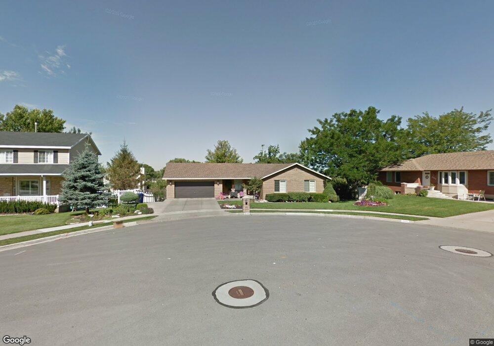
561 N 180 E Centerville, UT 84014
Estimated Value: $666,000 - $710,000
5
Beds
3
Baths
1,569
Sq Ft
$434/Sq Ft
Est. Value
About This Home
This home is located at 561 N 180 E, Centerville, UT 84014 and is currently estimated at $681,558, approximately $434 per square foot. 561 N 180 E is a home located in Davis County with nearby schools including Centerville Elementary, Centerville Jr High, and Viewmont High School.
Ownership History
Date
Name
Owned For
Owner Type
Purchase Details
Closed on
Nov 29, 2021
Sold by
Sandra D Walker Trust and Walker Sandra D
Bought by
Henrie Tanner and Henrie Abigail
Current Estimated Value
Home Financials for this Owner
Home Financials are based on the most recent Mortgage that was taken out on this home.
Original Mortgage
$400,000
Outstanding Balance
$365,304
Interest Rate
3.05%
Mortgage Type
New Conventional
Estimated Equity
$316,254
Purchase Details
Closed on
Feb 26, 2016
Sold by
Walker Thomas R and Walker Sandra D
Bought by
Walker Sandra D and Walker Trust
Create a Home Valuation Report for This Property
The Home Valuation Report is an in-depth analysis detailing your home's value as well as a comparison with similar homes in the area
Purchase History
| Date | Buyer | Sale Price | Title Company |
|---|---|---|---|
| Henrie Tanner | -- | Utah First Title | |
| Walker Sandra D | -- | None Available |
Source: Public Records
Mortgage History
| Date | Status | Borrower | Loan Amount |
|---|---|---|---|
| Open | Henrie Tanner | $400,000 |
Source: Public Records
Tax History
| Year | Tax Paid | Tax Assessment Tax Assessment Total Assessment is a certain percentage of the fair market value that is determined by local assessors to be the total taxable value of land and additions on the property. | Land | Improvement |
|---|---|---|---|---|
| 2025 | $3,576 | $342,100 | $170,178 | $171,922 |
| 2024 | $3,386 | $329,450 | $152,641 | $176,809 |
| 2023 | $3,254 | $572,000 | $250,798 | $321,202 |
| 2022 | $3,454 | $334,400 | $126,554 | $207,846 |
| 2021 | $3,018 | $455,000 | $192,620 | $262,380 |
| 2020 | $2,958 | $446,000 | $188,435 | $257,565 |
| 2019 | $2,975 | $438,000 | $189,907 | $248,093 |
| 2018 | $2,784 | $405,000 | $176,273 | $228,727 |
| 2016 | $2,486 | $200,970 | $58,524 | $142,446 |
| 2015 | $2,438 | $185,900 | $58,524 | $127,376 |
| 2014 | $2,589 | $165,000 | $58,524 | $106,476 |
| 2013 | -- | $154,252 | $48,624 | $105,628 |
Source: Public Records
Map
Nearby Homes
- 563 N 220 E
- 295 E 500 N
- 380 E 400 N
- 56 W 200 N
- 66 Brookside Ln
- 22 Creekside Ln
- 252 N 400 E
- 775 Pheasantbrook Cir
- 282 W 605 N Unit A
- 282 W 605 N Unit I
- 281 W 650 N Unit B
- 303 W 650 N Unit I
- 292 W 680 N
- 16 S 200 E
- 781 Pheasantbrook Dr
- 360 E Center St
- 984 N 500 E
- 328 E 1100 S
- 88 W 50 S Unit C-3
- 88 W 50 S Unit B5
Your Personal Tour Guide
Ask me questions while you tour the home.