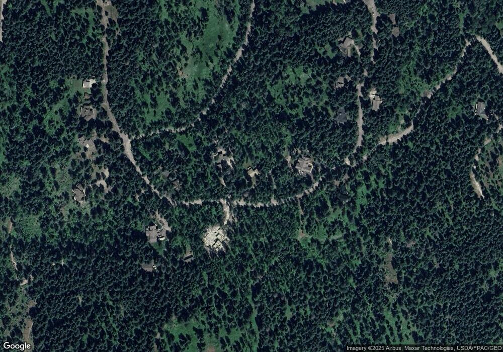
561 Ranch Rd Bigfork, MT 59911
Estimated Value: $870,000 - $1,261,000
3
Beds
2
Baths
2,466
Sq Ft
$428/Sq Ft
Est. Value
About This Home
This home is located at 561 Ranch Rd, Bigfork, MT 59911 and is currently estimated at $1,055,904, approximately $428 per square foot. 561 Ranch Rd is a home located in Flathead County with nearby schools including Bigfork Elementary School, Bigfork Middle School, and Bigfork High School.
Ownership History
Date
Name
Owned For
Owner Type
Purchase Details
Closed on
Apr 13, 2023
Sold by
Fisher Paul and Fisher Millie
Bought by
Paul And Millie Fisher Investments Llc
Current Estimated Value
Home Financials for this Owner
Home Financials are based on the most recent Mortgage that was taken out on this home.
Original Mortgage
$440,000
Outstanding Balance
$427,383
Interest Rate
6.63%
Mortgage Type
Construction
Estimated Equity
$628,521
Create a Home Valuation Report for This Property
The Home Valuation Report is an in-depth analysis detailing your home's value as well as a comparison with similar homes in the area
Home Values in the Area
Average Home Value in this Area
Purchase History
| Date | Buyer | Sale Price | Title Company |
|---|---|---|---|
| Paul And Millie Fisher Investments Llc | -- | Fidelity National Title | |
| Fisher Paul | -- | Fidelity National Title |
Source: Public Records
Mortgage History
| Date | Status | Borrower | Loan Amount |
|---|---|---|---|
| Open | Fisher Paul | $440,000 |
Source: Public Records
Tax History Compared to Growth
Tax History
| Year | Tax Paid | Tax Assessment Tax Assessment Total Assessment is a certain percentage of the fair market value that is determined by local assessors to be the total taxable value of land and additions on the property. | Land | Improvement |
|---|---|---|---|---|
| 2025 | $3,565 | $994,800 | $0 | $0 |
| 2024 | $671 | $133,180 | $0 | $0 |
| 2023 | $879 | $133,180 | $0 | $0 |
| 2022 | $601 | $89,908 | $0 | $0 |
| 2021 | $659 | $89,908 | $0 | $0 |
| 2020 | $1,156 | $74,880 | $0 | $0 |
| 2019 | $1,094 | $74,880 | $0 | $0 |
| 2018 | $1,038 | $63,836 | $0 | $0 |
| 2017 | $1,021 | $63,836 | $0 | $0 |
| 2016 | $983 | $59,256 | $0 | $0 |
| 2015 | $956 | $59,256 | $0 | $0 |
| 2014 | $1,104 | $49,445 | $0 | $0 |
Source: Public Records
Map
Nearby Homes
- 551 Ranch Rd
- 604 Ranch Rd
- 616 Ranch Rd
- 56 Bridle Ct
- 375 Ranch Rd
- 677 Latigo Ln
- 695 Latigo Ln
- 381 Chief Cliff Trail
- 40 Bridle Ct
- 24 Bridle Ct
- 28 Doubletree Dr
- 48 Bridle Ct
- 453 Chief Cliff Trail
- 664 Saddlehorn Trail
- 14 Trails End Ct
- 26 Trails End Ct
- 253 Chief Cliff Trail
- 8615 Montana Hwy 35
- 8615 Mt Hwy 35
- 50 Trails End Ct
- 583 Ranch Rd
- Nhn Ranch Rd Unit Lot 9
- Nhn Ranch Rd
- 570 Ranch Rd
- 591 Pommel Dr
- 560 Ranch Rd
- 588 Ranch Rd
- 599 Pommel Dr
- 607 Pommel Dr
- Lot 3 Jewel Basin Ranch Rd
- 546 Ranch Rd
- 554 Ranch Rd
- 251 Ranch Rd
- 0 Ranch Rd
- 612 Pommel Dr
- 617 Pommel Dr
- 100 Panorama Hill
- 540 Ranch Rd
- 628 Pommel Dr
- 604 W Doubletree Dr
