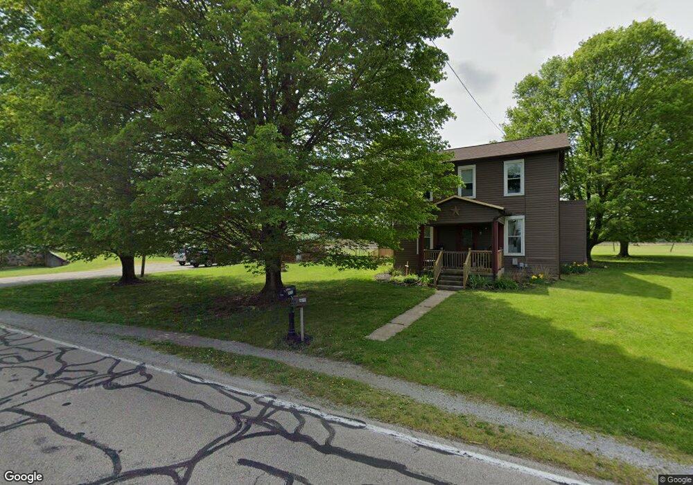
5610 Rudy Rd Tipp City, OH 45371
Estimated Value: $271,358 - $352,000
4
Beds
1
Bath
1,519
Sq Ft
$199/Sq Ft
Est. Value
About This Home
This home is located at 5610 Rudy Rd, Tipp City, OH 45371 and is currently estimated at $302,840, approximately $199 per square foot. 5610 Rudy Rd is a home located in Miami County with nearby schools including Bethel Elementary School, Bethel Middle School, and Bethel High School.
Ownership History
Date
Name
Owned For
Owner Type
Purchase Details
Closed on
Oct 8, 2003
Sold by
Davenport Beverly J
Bought by
Fisher Michael D and Fisher Tara A
Current Estimated Value
Home Financials for this Owner
Home Financials are based on the most recent Mortgage that was taken out on this home.
Original Mortgage
$106,000
Outstanding Balance
$50,211
Interest Rate
6.43%
Mortgage Type
New Conventional
Estimated Equity
$252,629
Purchase Details
Closed on
May 13, 1999
Sold by
Penley Beverly J
Bought by
Davenport Beverly J
Purchase Details
Closed on
Feb 23, 1994
Bought by
Penley Beverly J
Create a Home Valuation Report for This Property
The Home Valuation Report is an in-depth analysis detailing your home's value as well as a comparison with similar homes in the area
Home Values in the Area
Average Home Value in this Area
Purchase History
| Date | Buyer | Sale Price | Title Company |
|---|---|---|---|
| Fisher Michael D | $132,500 | -- | |
| Davenport Beverly J | -- | -- | |
| Penley Beverly J | -- | -- |
Source: Public Records
Mortgage History
| Date | Status | Borrower | Loan Amount |
|---|---|---|---|
| Open | Davenport Beverly J | $106,000 |
Source: Public Records
Tax History Compared to Growth
Tax History
| Year | Tax Paid | Tax Assessment Tax Assessment Total Assessment is a certain percentage of the fair market value that is determined by local assessors to be the total taxable value of land and additions on the property. | Land | Improvement |
|---|---|---|---|---|
| 2024 | $3,157 | $65,840 | $27,370 | $38,470 |
| 2023 | $3,157 | $65,840 | $27,370 | $38,470 |
| 2022 | $3,123 | $65,840 | $27,370 | $38,470 |
| 2021 | $2,797 | $54,880 | $22,820 | $32,060 |
| 2020 | $2,781 | $54,880 | $22,820 | $32,060 |
| 2019 | $2,812 | $54,880 | $22,820 | $32,060 |
| 2018 | $2,486 | $45,440 | $17,120 | $28,320 |
| 2017 | $2,489 | $45,440 | $17,120 | $28,320 |
| 2016 | $2,243 | $45,440 | $17,120 | $28,320 |
| 2015 | $2,232 | $43,680 | $16,450 | $27,230 |
| 2014 | $2,232 | $43,680 | $16,450 | $27,230 |
| 2013 | $1,894 | $43,680 | $16,450 | $27,230 |
Source: Public Records
Map
Nearby Homes
- 5315 E State Route 571
- 0 Ohio 202 Unit 23014095
- 0 Ohio 202 Unit 23014098
- 4320 Ginghamsburg West Charleston Rd
- 1037 Arbor Dr
- 0 Ohio 201
- 7817 Ohio 201
- 4207 Forestedge St
- 4019 Lupine Way
- 7337 Ross Rd
- 1109 Honeydew Dr
- 36 Wilhelm St
- 423 S 2nd St
- 514 S 3rd St
- 6570 S Tipp Cowl Rd
- 7032 Honeylocust St
- 465 Cayman Cir
- 8415 S State Route 202
- 549 Whispering Pines Ave
- 0 Ohio 571