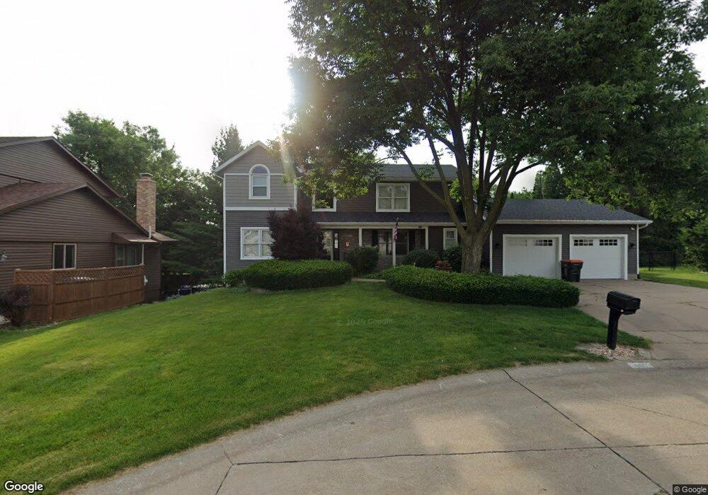
5611 Lillie Ct Davenport, IA 52806
North Side NeighborhoodEstimated Value: $369,000 - $430,000
3
Beds
7
Baths
2,594
Sq Ft
$152/Sq Ft
Est. Value
About This Home
This home is located at 5611 Lillie Ct, Davenport, IA 52806 and is currently estimated at $393,108, approximately $151 per square foot. 5611 Lillie Ct is a home located in Scott County with nearby schools including Cumberland Hall School, Harrison Elementary School, and Academy Of Continuing Education.
Ownership History
Date
Name
Owned For
Owner Type
Purchase Details
Closed on
Apr 15, 2005
Sold by
Carstensen Linda L
Bought by
Brewer Nathan and Brewer Suzanne
Current Estimated Value
Home Financials for this Owner
Home Financials are based on the most recent Mortgage that was taken out on this home.
Original Mortgage
$75,150
Outstanding Balance
$39,483
Interest Rate
6.06%
Mortgage Type
Credit Line Revolving
Estimated Equity
$353,625
Create a Home Valuation Report for This Property
The Home Valuation Report is an in-depth analysis detailing your home's value as well as a comparison with similar homes in the area
Home Values in the Area
Average Home Value in this Area
Purchase History
| Date | Buyer | Sale Price | Title Company |
|---|---|---|---|
| Brewer Nathan | $247,625 | None Available |
Source: Public Records
Mortgage History
| Date | Status | Borrower | Loan Amount |
|---|---|---|---|
| Open | Brewer Nathan | $75,150 | |
| Open | Brewer Nathan | $150,000 |
Source: Public Records
Tax History Compared to Growth
Tax History
| Year | Tax Paid | Tax Assessment Tax Assessment Total Assessment is a certain percentage of the fair market value that is determined by local assessors to be the total taxable value of land and additions on the property. | Land | Improvement |
|---|---|---|---|---|
| 2025 | $6,346 | $400,590 | $47,810 | $352,780 |
| 2024 | $6,188 | $365,310 | $47,810 | $317,500 |
| 2023 | $6,622 | $365,310 | $47,810 | $317,500 |
| 2022 | $6,324 | $318,900 | $40,160 | $278,740 |
| 2021 | $6,324 | $303,690 | $40,160 | $263,530 |
| 2020 | $5,614 | $267,200 | $40,160 | $227,040 |
| 2019 | $5,804 | $267,200 | $40,160 | $227,040 |
| 2018 | $5,520 | $267,200 | $40,160 | $227,040 |
| 2017 | $1,447 | $260,110 | $40,160 | $219,950 |
| 2016 | $5,092 | $241,190 | $0 | $0 |
| 2015 | $5,092 | $238,850 | $0 | $0 |
| 2014 | $5,112 | $238,850 | $0 | $0 |
| 2013 | $5,018 | $0 | $0 | $0 |
| 2012 | -- | $242,930 | $38,040 | $204,890 |
Source: Public Records
Map
Nearby Homes
- 5721 Taylor St
- 1033 W 58th St
- 5804 Lillie Ave
- 5735 Taylor St
- 1005 W 58th St
- 1415 W 59th St
- 6015 Vine St
- 1301 W 62nd Ct
- 4942 Brown St
- 825 Northbrook Dr
- Lot 26 Benjamin Ct
- 6112 Western Ave
- 4757 Willow Cir
- 4743 Willow Cir
- 5510 N Division St
- 5436 N Division St
- 4804 Northwest Blvd
- 6308 Appomattox Rd
- 655 W 64th St
- 665 W 64th St
- 5615 Lillie Ct
- 5605 Lillie Ct
- 4121 Lillie Ct
- 1117 W 57th St
- 1125 W 57th St
- 5604 Lillie Ct
- 5608 Lillie Ct
- 5612 Lillie Ct
- 1139 W 57th St
- 1109 W 57th St
- 5618 Lillie Ct
- 1221 W 57th St
- 1103 W 57th St
- Lot 34 Lillie Ave
- Lot 28 Lillie Ave
- Lot 22 Lillie Ave
- 5615 Lillie Ave
- 5605 Marquette St
- 5607 Marquette St
- 5603 Marquette St