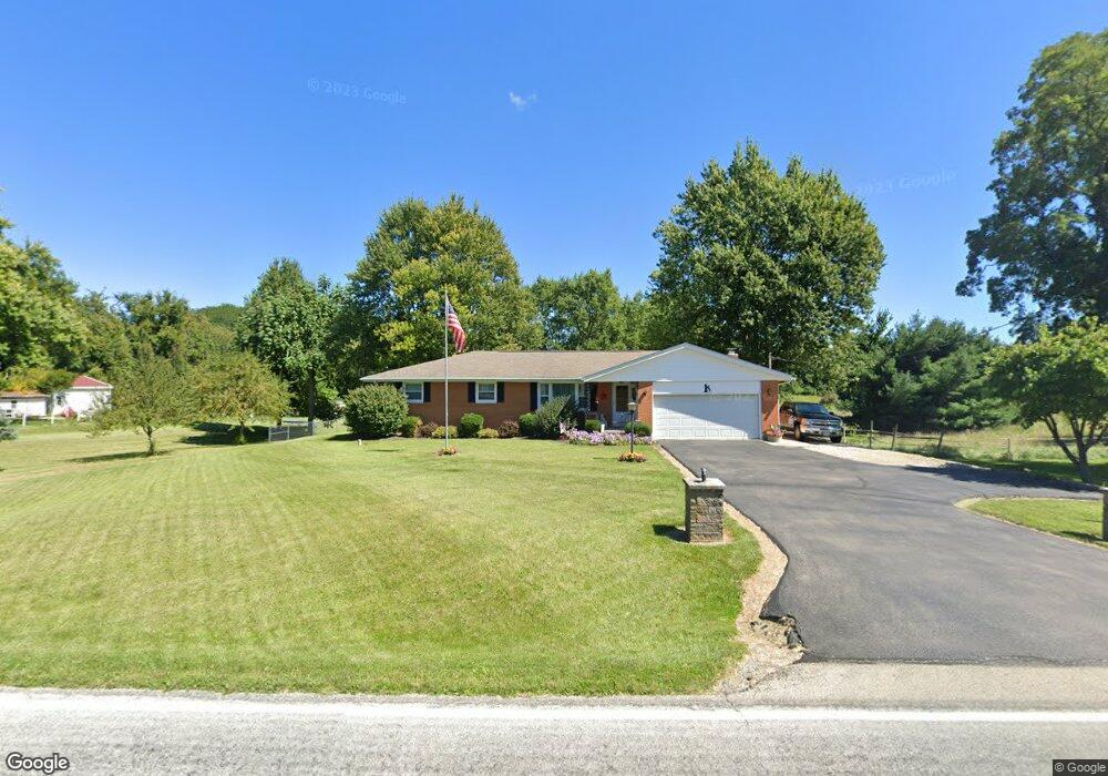
5612 Morris Rd Springfield, OH 45502
Estimated Value: $247,000 - $357,000
3
Beds
2
Baths
1,591
Sq Ft
$183/Sq Ft
Est. Value
About This Home
This home is located at 5612 Morris Rd, Springfield, OH 45502 and is currently estimated at $290,414, approximately $182 per square foot. 5612 Morris Rd is a home located in Clark County with nearby schools including Northridge Elementary School, Kenton Ridge Middle & High School, and Emmanuel Christian Academy.
Ownership History
Date
Name
Owned For
Owner Type
Purchase Details
Closed on
Jun 14, 2006
Sold by
Mills Garold E
Bought by
Baugh Randy E and Baugh Joanna L
Current Estimated Value
Home Financials for this Owner
Home Financials are based on the most recent Mortgage that was taken out on this home.
Original Mortgage
$90,000
Outstanding Balance
$52,383
Interest Rate
6.68%
Mortgage Type
Purchase Money Mortgage
Estimated Equity
$238,031
Purchase Details
Closed on
Jul 27, 1995
Sold by
Jones Richard E
Bought by
Garold E Mills
Create a Home Valuation Report for This Property
The Home Valuation Report is an in-depth analysis detailing your home's value as well as a comparison with similar homes in the area
Purchase History
| Date | Buyer | Sale Price | Title Company |
|---|---|---|---|
| Baugh Randy E | $142,000 | Custom Title Services Llc | |
| Garold E Mills | $125,000 | -- |
Source: Public Records
Mortgage History
| Date | Status | Borrower | Loan Amount |
|---|---|---|---|
| Open | Baugh Randy E | $90,000 |
Source: Public Records
Tax History
| Year | Tax Paid | Tax Assessment Tax Assessment Total Assessment is a certain percentage of the fair market value that is determined by local assessors to be the total taxable value of land and additions on the property. | Land | Improvement |
|---|---|---|---|---|
| 2025 | $2,472 | $76,810 | $18,460 | $58,350 |
| 2024 | $2,805 | $66,310 | $14,320 | $51,990 |
| 2023 | $2,805 | $66,310 | $14,320 | $51,990 |
| 2022 | $2,815 | $66,310 | $14,320 | $51,990 |
| 2021 | $2,664 | $53,190 | $11,740 | $41,450 |
| 2020 | $2,667 | $53,190 | $11,740 | $41,450 |
| 2019 | $2,717 | $53,190 | $11,740 | $41,450 |
| 2018 | $2,454 | $46,100 | $10,870 | $35,230 |
| 2017 | $2,103 | $46,103 | $10,868 | $35,235 |
| 2016 | $2,088 | $46,103 | $10,868 | $35,235 |
| 2015 | $2,018 | $42,897 | $10,868 | $32,029 |
| 2014 | $2,018 | $42,897 | $10,868 | $32,029 |
| 2013 | $1,971 | $42,897 | $10,868 | $32,029 |
Source: Public Records
Map
Nearby Homes
- 5060 Morris Rd
- 4293 Yale St
- 4273 Kay Ave
- 4607 Plateau Dr S
- 4500 Bosart Rd
- 1977 Willoughby Ave
- 4890 Brannan Dr W Unit 4890
- 1836 Dunseth Ln
- 1812 Willow Lakes Dr
- 5564 Ridgewood Rd E Unit 7
- 1470 Oldham Dr Unit 12
- 4954 E County Line Rd
- 1398 Elizabeth Ct Unit 66
- 1521 Erika Dr
- 4652 Reno Ln Unit 15
- 5033 Ridgewood Rd E
- 1495 Victorian Way
- 4577 Reno Ln Unit 2
- 4028 Ryland Dr Unit 4028
- 5564 Ridgewood Rd W
- 5624 Morris Rd
- 5575 Morris Rd
- 5605 Morris Rd
- 5665 Morris Rd
- 5520 Morris Rd
- 5515 Morris Rd
- 5674 Morris Rd
- 3933 Windy Ridge Dr
- 3998 Windy Ridge Dr
- 3984 Morningside Cir
- 3971 Morningside Cir
- 3869 Windy Ridge Dr
- 5696 Morris Rd
- 5719 Morris Rd
- 3980 Morningside Cir
- 3986 Windy Ridge Dr
- 3897 Morningside Cir
- 5764 Morris Rd
- 3874 Windy Ridge Dr
- 3620 Morningside Cir
Your Personal Tour Guide
Ask me questions while you tour the home.