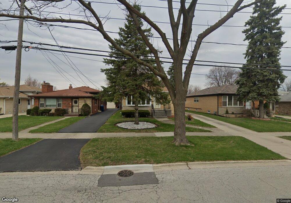
5614 W Hawthorne Ave Berkeley, IL 60163
Estimated Value: $260,969 - $342,000
3
Beds
2
Baths
1,237
Sq Ft
$245/Sq Ft
Est. Value
About This Home
This home is located at 5614 W Hawthorne Ave, Berkeley, IL 60163 and is currently estimated at $302,742, approximately $244 per square foot. 5614 W Hawthorne Ave is a home located in Cook County with nearby schools including Macarthur Intermediate School, Sunnyside Elementary School, and Proviso West High School.
Ownership History
Date
Name
Owned For
Owner Type
Purchase Details
Closed on
Nov 29, 1994
Sold by
Christopher John G and Christopher Betty J
Bought by
Ware Clifford E and Ware Patricia
Current Estimated Value
Home Financials for this Owner
Home Financials are based on the most recent Mortgage that was taken out on this home.
Original Mortgage
$113,000
Interest Rate
8.75%
Create a Home Valuation Report for This Property
The Home Valuation Report is an in-depth analysis detailing your home's value as well as a comparison with similar homes in the area
Home Values in the Area
Average Home Value in this Area
Purchase History
| Date | Buyer | Sale Price | Title Company |
|---|---|---|---|
| Ware Clifford E | $119,000 | Attorneys Natl Title Network |
Source: Public Records
Mortgage History
| Date | Status | Borrower | Loan Amount |
|---|---|---|---|
| Closed | Ware Clifford E | $113,000 |
Source: Public Records
Tax History
| Year | Tax Paid | Tax Assessment Tax Assessment Total Assessment is a certain percentage of the fair market value that is determined by local assessors to be the total taxable value of land and additions on the property. | Land | Improvement |
|---|---|---|---|---|
| 2025 | $4,733 | $18,743 | $4,059 | $14,684 |
| 2024 | $4,733 | $18,743 | $4,059 | $14,684 |
| 2023 | $4,494 | $18,743 | $4,059 | $14,684 |
| 2022 | $4,494 | $16,386 | $2,767 | $13,619 |
| 2021 | $5,689 | $18,984 | $2,767 | $16,217 |
| 2020 | $5,534 | $18,984 | $2,767 | $16,217 |
| 2019 | $3,343 | $14,061 | $2,582 | $11,479 |
| 2018 | $4,415 | $14,061 | $2,582 | $11,479 |
| 2017 | $4,245 | $14,061 | $2,582 | $11,479 |
| 2016 | $4,131 | $12,702 | $2,398 | $10,304 |
| 2015 | $4,068 | $12,702 | $2,398 | $10,304 |
| 2014 | $4,634 | $14,263 | $2,398 | $11,865 |
| 2013 | $5,148 | $16,690 | $2,398 | $14,292 |
Source: Public Records
Map
Nearby Homes
- 1529 N Hillside Ave
- 4938 W Randolph St
- 4904 W Hawthorne Ave
- 1447 N Ashbel Ave
- 1428 1/2 N Ashbel Ave
- 5700 Saint Charles Rd
- 5706 Saint Charles Rd
- 605 N Wolf Rd Unit B9
- 504 N Irving Ave
- 768 N Rohde Ave
- 520 N Wolf Rd Unit 203
- 5905 Superior St
- 1463 Speechley Blvd
- 5949 School St
- 341 Iroquois Rd
- 593 S Edgewood Ave
- 250 N Irving Ave
- 4530 Butterfield Rd
- 512 50th Ave
- 226 N Lind Ave
- 5610 W Hawthorne Ave
- 5616 W Hawthorne Ave
- 5620 W Hawthorne Ave
- 5604 W Hawthorne Ave
- 5600 W Hawthorne Ave
- 5622 W Hawthorne Ave
- 1544 N Hillside Ave
- 1544 N Hillside Ave
- 5024 W Hawthorne Ave
- 5020 W Hawthorne Ave
- 5625 Murray Dr
- 1538 N Hillside Ave
- 5016 W Hawthorne Ave
- 5627 Murray Dr
- 5036 W Hawthorne Ave
- 5012 W Hawthorne Ave
- 5632 W Hawthorne Ave
- 1526 N Hillside Ave
- 1526 N Hillside Ave
- 5040 W Hawthorne Ave
Your Personal Tour Guide
Ask me questions while you tour the home.