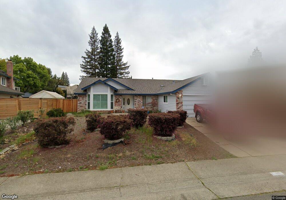
5615 Bluffs Dr Rocklin, CA 95765
Sunset Whitney NeighborhoodEstimated Value: $600,430 - $626,000
3
Beds
2
Baths
1,686
Sq Ft
$361/Sq Ft
Est. Value
About This Home
This home is located at 5615 Bluffs Dr, Rocklin, CA 95765 and is currently estimated at $608,858, approximately $361 per square foot. 5615 Bluffs Dr is a home located in Placer County with nearby schools including Cobblestone Elementary School, Granite Oaks Middle, and Rocklin High.
Ownership History
Date
Name
Owned For
Owner Type
Purchase Details
Closed on
Oct 20, 2004
Sold by
Batchelder Dan C and Batchelder Roberta N
Bought by
Batchelder Daniel C
Current Estimated Value
Purchase Details
Closed on
Sep 11, 1997
Sold by
Gerould and Barbara
Bought by
Batchelder Dan C
Purchase Details
Closed on
Sep 24, 1994
Sold by
Isenberger Harold J and Crichton Elizabeth G
Bought by
Gerould Lawrence
Create a Home Valuation Report for This Property
The Home Valuation Report is an in-depth analysis detailing your home's value as well as a comparison with similar homes in the area
Home Values in the Area
Average Home Value in this Area
Purchase History
| Date | Buyer | Sale Price | Title Company |
|---|---|---|---|
| Batchelder Daniel C | -- | -- | |
| Batchelder Dan C | $175,000 | Chicago Title Co | |
| Gerould Lawrence | $184,500 | Chicago Title Co |
Source: Public Records
Tax History Compared to Growth
Tax History
| Year | Tax Paid | Tax Assessment Tax Assessment Total Assessment is a certain percentage of the fair market value that is determined by local assessors to be the total taxable value of land and additions on the property. | Land | Improvement |
|---|---|---|---|---|
| 2025 | $5,241 | $279,400 | $111,756 | $167,644 |
| 2023 | $5,241 | $268,552 | $107,417 | $161,135 |
| 2022 | $5,142 | $263,287 | $105,311 | $157,976 |
| 2021 | $5,109 | $258,126 | $103,247 | $154,879 |
| 2020 | $5,104 | $255,480 | $102,189 | $153,291 |
| 2019 | $5,063 | $250,472 | $100,186 | $150,286 |
| 2018 | $2,886 | $245,562 | $98,222 | $147,340 |
| 2017 | $2,888 | $240,748 | $96,297 | $144,451 |
| 2016 | $2,809 | $236,028 | $94,409 | $141,619 |
| 2015 | $2,775 | $232,483 | $92,991 | $139,492 |
| 2014 | $2,727 | $227,930 | $91,170 | $136,760 |
Source: Public Records
Map
Nearby Homes
- 5406 Butte Cir
- 3090 Cerro Cir
- 5601 Grand View Ct
- 5608 Grand View Ct
- 4270 Midas Ave
- 1816 Illinois Way Unit 48
- 3406 Terrace Place
- 1404 Indiana Way Unit 72
- 5247 Silver Peak Ln
- 3203 Thistle Ct
- 3120 Aaron Dr
- 2580 Polar Star St
- 3324 Sandalwood Rd
- 4935 Village Oaks Dr
- 5069 Midas Ave
- 3165 Argonaut Ave
- 5704 Byron Ct
- 3265 Argonaut Ave
- 3119 Strand Rd
- 2920 Avon Rd